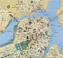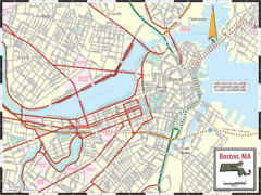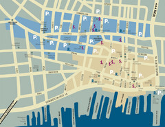
Portland, Maine Tourist Map
45 miles away
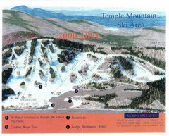
Temple Mountain Last year open—Credited to...
Trail map from Temple Mountain. This ski area opened in 1937.
45 miles away
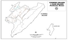
Cushing Island Map
Also shows Ram Island
45 miles away
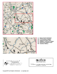
Greater Merrimack Valley, Massachusetts Map
Tourist map of greater Merrimack Valley, Massachusetts. Lodging, forests, and other points of...
48 miles away
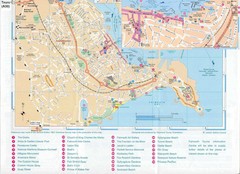
Falmouth Map
Map of Falmouth town and bay. Includes roads, parks, accommodations and attractions.
50 miles away
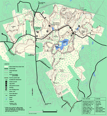
Great Brook Farm State Park trail map
Trail map of Great Brook Farm State Park.
50 miles away
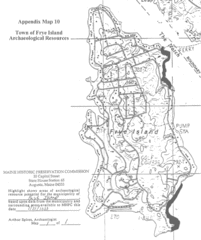
Frye Island Archaeological Map
50 miles away
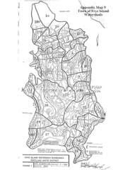
Frye Island Watershed Boundary Map
50 miles away
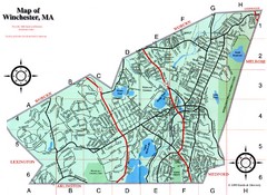
Winchester Town Map
51 miles away
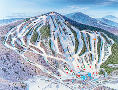
Pats Peak Ski Map
ski trail map of pats peak ski area
52 miles away
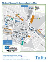
Medford Campus Map
Clear map indicating buildings and parking areas.
52 miles away
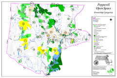
Pepperell Conservation Land and Open Spaces Map
Map showing conservation land and open spaces in Pepperell, MA.
53 miles away
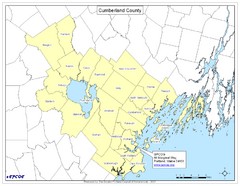
Cumberland County Map
Map showing all city divisions of Cumberland County, Maryland with specific location of the CPCOG.
53 miles away
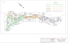
Town of Lexington Historic Districts Map
Identifies the 4 historical districts of Lexington, Massachusetts.
53 miles away
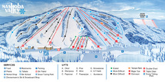
Nashoba Valley Ski Area Ski Trail Map
Trail map from Nashoba Valley Ski Area.
53 miles away
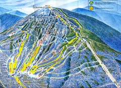
Sugarloaf Mountain Trail Map
Ski trail map
53 miles away
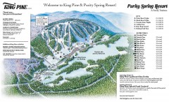
King Pine Ski trail Map
Official ski trail map of King Pine ski area from the 2006-2007 season.
54 miles away
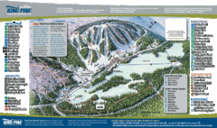
King Pine Ski Area Ski Trail Map
Trail map from King Pine Ski Area.
54 miles away
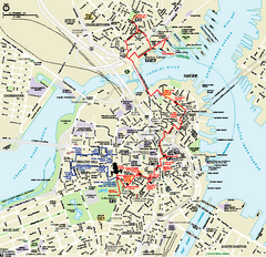
Boston National Historical Park Official Park Map
Official NPS map of Boston National Historical Park in Boston, Massachusetts. From park brochure...
54 miles away
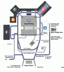
Boston/General Edward Lawrence Logan...
Terminal map of Boston/General Edward Lawrence Logan International Airport. Shows all areas.
54 miles away
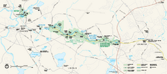
Minute Man National Historical Park Official Map
Official NPS map of Minute Man National Historical Park in Massachusetts. Map shows all areas. The...
55 miles away
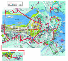
Boston Beantown Trolley Route Map
Route Map for the Boston Beantown trolley. Shows the trolley route, all stops, and a colorful...
55 miles away
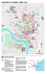
Harvard University campus map
Harvard University campus map
55 miles away
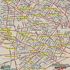
Cambridge, Massachusetts Map
55 miles away
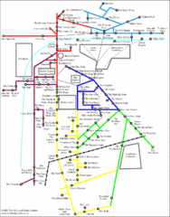
Cambridge Pub Map
55 miles away
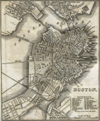
Antique map of Boston from 1842
Antique map of Boston from Tanner, H.S. The American Traveller; or Guide Through the United States...
55 miles away
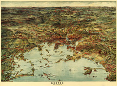
Walker's Map of Boston Harbor and Environs...
Walker's map of Boston Harbor and immediate environs from 1905.
55 miles away
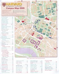
Harvard University Map
Campus map
55 miles away
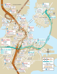
I-93 & I-90 Boston Map
Detail of exits and on-ramps for downtown Boston.
55 miles away
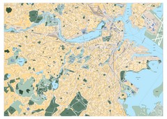
Boston, Massachusetts City Map
55 miles away
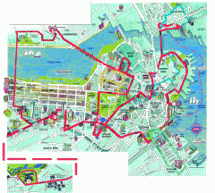
Boston 'Beantown Trolley' map
Tourist map of Boston, Mass. showing route of the Beantown Trolley, various points of interest and...
55 miles away
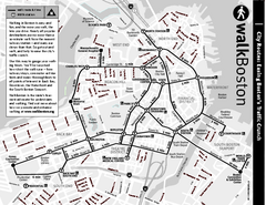
Walking Map of Boston, Massachusetts
Tourist map of Boston, Massachusetts, showing walking routes and times, as well as museums, squares...
55 miles away
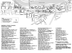
Boston University Charles River Campus Map
Campus map of Boston University. Charles River Campus. All areas shown.
55 miles away
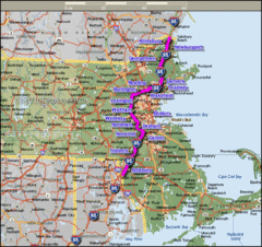
Interstate 95 Cities in Massachusetts Map
55 miles away
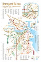
Boston Neighborhood Map
55 miles away
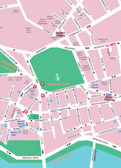
Boston Neighborhood Map
55 miles away
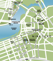
Central Boston Tourist Map
55 miles away
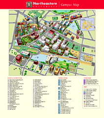
Northeastern University Map
Northeastern University Campus Map. All areas shown.
55 miles away

