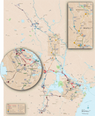
New Hampshire Transit Map
Guide to COAST and Wildcat Transit lines in New Hampshire
0 miles away
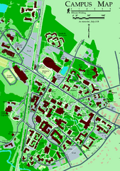
University of New Hampshire Campus Map
University of New Hampshire Campus Map
9 miles away
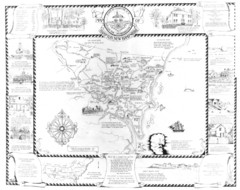
Hampton, New Hampshire Historical Map
Historical map of Hampton, New Hampshire. Illustrated map includes roads and historical buildings.
13 miles away
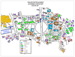
Phillips Exeter Academy Campus Map
Phillips Exeter Academy Campus Map
14 miles away
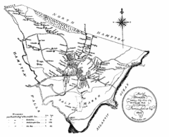
Hampton NH Map 1806
1806 map of Hampton, NH. Shows roads and settlements.
15 miles away
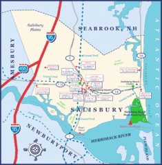
Salisbury Town Map
21 miles away
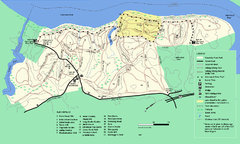
Maudslay State Park trail map
Trail Map of Maudslay State Park in Massachusetts.
23 miles away
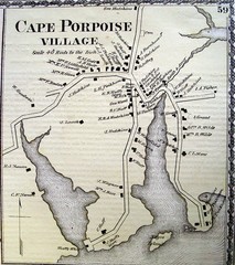
Cape Porpoise Village Map
23 miles away
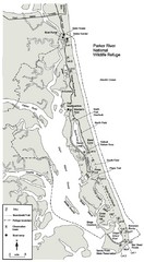
Parker River Map
Map of Parker River National Wildlife Refuge for birdlife
24 miles away
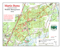
Downfall/Martin Burns WMA Map
26 miles away
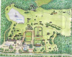
Newbury Perrenial Gardens Guide Map
27 miles away
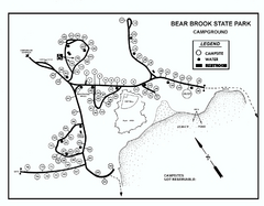
Bear Brook State Park Campground map
Campground map of Bear Brook State Park in New Hampshire
30 miles away
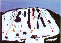
Ski Bradford Ski Trail Map
Trail map from Ski Bradford.
31 miles away
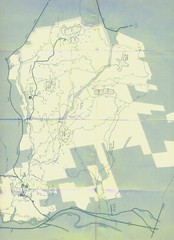
Bear Brook Trails Map
Bear Brook Park Trails and Park map in New Hampshire
31 miles away
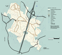
Georgetown-Rowley State Forest winter use map
Winter use map for the Georgetown-Rowley State Forest in Massachusetts.
31 miles away
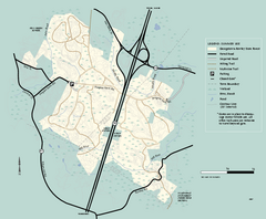
Georgetown-Rowley State Forest summer use map
Summer use map for Georgetown-Rowley State Forest.
31 miles away
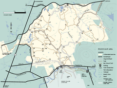
Willowdale State Forest map of Pine Swamp
Trail map of the Pine Swamp area of Willowdale State Park in Massachusetts.
33 miles away
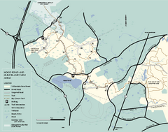
Willowdale State Forest map of Hood Pond
Trail map of the Hood Pond area of the Willowdale State Park in Massachusetts.
33 miles away
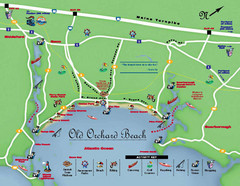
Old Orchard Beach Tourist Map
33 miles away
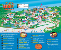
Canobie Lake Park Map
34 miles away
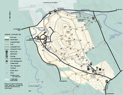
Bradley Palmer State Park summer map
Summer use map of Bradley Palmer State Park in Massachusetts
34 miles away
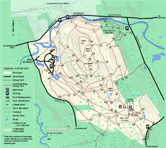
Bradley Palmer State Park winter map
Winter trail map of Bradley Palmer State Park.
34 miles away
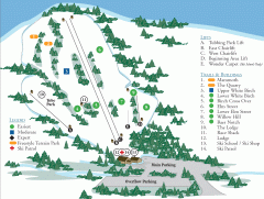
McIntyre Ski Trail Map
Official ski trail map of McIntyre ski area.
35 miles away
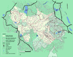
Boxford State Park trail map
Trail map of Boxford State Forest in Massachusetts
36 miles away
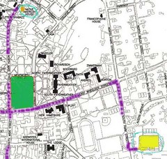
Manchester, New Hampshire City Map
36 miles away
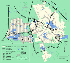
Harold Parker State Forest trail map
Trail map of Harold Parker State Forest in Massachusetts
39 miles away
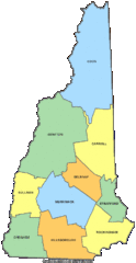
New Hampshire Counties Map
41 miles away
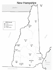
New Hampshire Airports Map
41 miles away
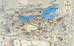
St. Paul's School Campus Map
Campus map of St. Paul's School
41 miles away
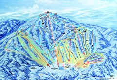
Gunstock Ski Trail Map
Ski trail map of Gunstock Mountain ski area
41 miles away
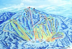
Gunstock Ski Area Ski Trail Map
Trail map from Gunstock Ski Area.
41 miles away
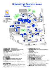
University of Southern Maine - Gorham Map
41 miles away
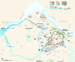
Lowell National Historical Park Official Map
Official NPS map of Lowell National Historical Park in Lowell, Massachusetts. Map shows all of...
43 miles away
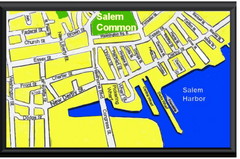
Salem, Massachusetts Guide Map
43 miles away
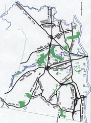
Nashua Parks Map
Map of Nashua, New Hampshire parks
43 miles away
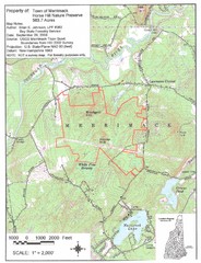
Merrimack Topo Map
A Topographical map Horse Hill Nature Preserve.
44 miles away
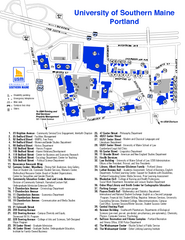
University of Southern Maine - Portland Map
44 miles away
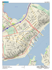
Portland, Maine City Map
44 miles away
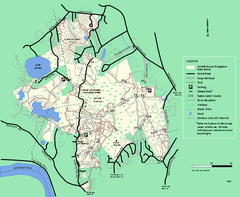
Lowell-Dracut-Tyngsboro State Forest trail map
Trail map for the Lowell-Dracut-Tyngsboro State Forest in Massachusetts
44 miles away

