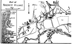
Yosemite Village Guide Map
56 miles away
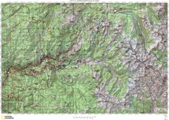
Island Pass to Yosemite Village Topo Map
56 miles away
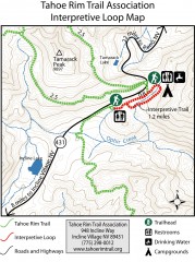
Tahoe Rim Trail: Interpretive Loop, Lake Tahoe...
Trail map of the Tahoe Rim Trail's Interpretive Loop Trail. Shows both trails, camping...
56 miles away
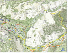
Half Dome view from Glacier Point Map
57 miles away

Northern California Fire Detection Map
Fires in Northern California
57 miles away
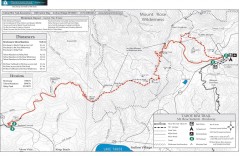
Tahoe Rim Trail: Brockway Summit to Tahoe Meadows...
Trail map of the Brockway Summit-Tahoe Meadows leg of the Tahoe Rim Trail. Bike trails, hiking...
57 miles away

Bodie State Park NW Map
Map of park with detail of trails and recreation zones
57 miles away

Bodie State Park SW Map
Map of park with detail of trails and recreation zones
57 miles away

Bodie State Park NE Map
Map of park with detail of trails and recreation zones
57 miles away
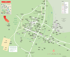
Bodie State Park Map
Map of park with detail of trails and recreation zones
57 miles away

Bodie State Park SE Map
Map of park with detail of trails and recreation zones
57 miles away

John Muir Trail Elevation Map
Profile, Elevation, Landmarks and Mileage for the John Muir Trail entertainment not accurate enough...
57 miles away
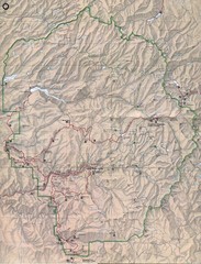
Yosemite National Park Map
Yosemite National Park Map. Shows location of all hiking trails, camp grounds, visitor center and...
57 miles away
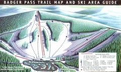
Badger Pass Ski Trail Map
Official ski trail map of Badger Pass ski area
59 miles away
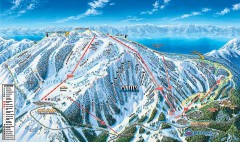
Mt. Rose Ski Trail Map
Official ski trail map of Mt. Rose ski area
59 miles away
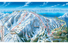
Mt. Rose Ski Tahoe Ski Trail Map
Trail map from Mt. Rose Ski Tahoe.
60 miles away
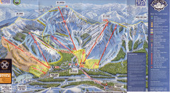
Sugar Bowl Ski Trail Map
Ski trail map of Sugar Bowl ski area from the 2008-09 season. Scanned.
60 miles away
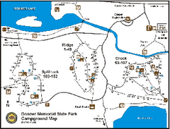
Donner Memorial State Park Campground Map
Map of park with detail of trails and recreation zones
60 miles away
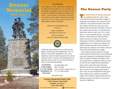
Donner Memorial State Park Map
Map of park with detail of trails and recreation zones
60 miles away
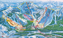
Sugar Bowl Resort Ski Trail Map
Trail map from Sugar Bowl Resort, which provides downhill and terrain park skiing. It has 12 lifts...
60 miles away
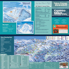
Tahoe Donner Cross Country Ski Trail Map
Ski trail map of Tahoe Donner Association. Shows both downhill and cross-country ski trails...
61 miles away
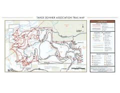
Tahoe Donner Ski Trail Map
Official ski trail map of Tahoe Donner Association. Shows both downhill and cross-country ski...
61 miles away
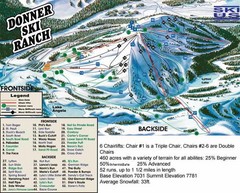
Donner Ski Ranch Ski Trail Map
Trail map from Donner Ski Ranch, which provides downhill and terrain park skiing. It has 6 lifts...
61 miles away
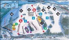
Soda Springs Ski Trail Map
Trail map from Soda Springs, which provides downhill and terrain park skiing. It has 2 lifts...
62 miles away

Tahoe Donner Ski Trail Map
Trail map from Tahoe Donner, which provides downhill, night, and nordic skiing. It has 3 lifts...
62 miles away
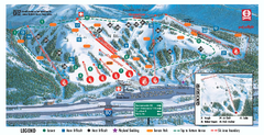
Boreal Ski Trail Map
Official ski trail map of Boreal ski area
62 miles away
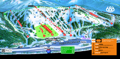
Boreal Mountain Resort Ski Trail Map
Trail map from Boreal Mountain Resort, which provides downhill, night, and terrain park skiing. It...
63 miles away
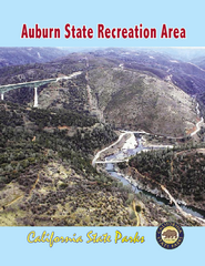
Auburn State Recreation Area Map
Map of park with detail of of trails and recreation zones
63 miles away
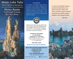
Mono Lake Tufa State Natural Reserve Map
Map of reserve with detail of trails and recreation zones
63 miles away
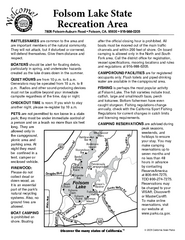
Folsom Lake State Recreation Area Campground Map
Map of park with detail of trails and recreation zones
64 miles away
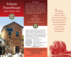
Folsom Powerhouse State Historic Park Map
Map of park with detail of trails and recreation zones
64 miles away
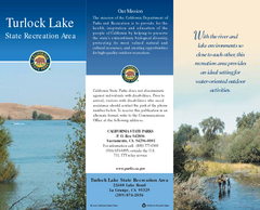
Turlock Lake State Recreation Area Map
Map of recreation area with detail of trails and recreation zones
66 miles away

Turlock Lake State Recreation Area Campground Map
Map of campground region of recreation area with detail of trails and recreation zones
66 miles away
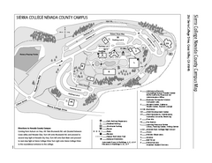
Sierra College Campus Map
Sierra College Campus Map. All buildings shown.
69 miles away
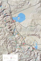
Eastern Sierra Trailhead Map - Lee Vining and...
Shows ranger stations and major trailheads in the eastern Sierra Nevada in the Mono Lake and...
71 miles away

Relative Motion of Pacific and North American...
Diagram illustrating the plate-tectonic setting of southern California (image source: USGS general...
71 miles away
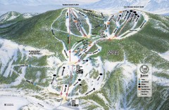
June Mountain Ski Trail Map
Official ski trail map of June Mountain ski area from the 2007-2008 season.
71 miles away
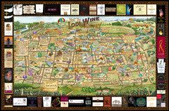
Lodi Valley Wine Map & Visitors Guide
A great source for information about the Lodi Wineries and our valleys rich Wine Region
72 miles away
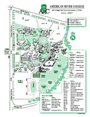
American River College Campus Map
American River College Campus Map. Shows all buildings.
73 miles away

