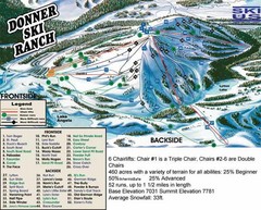
Donner Ski Ranch Ski Trail Map
Trail map from Donner Ski Ranch, which provides downhill and terrain park skiing. It has 6 lifts...
326 miles away
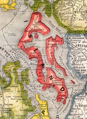
Island County Washington, 1909 Map
326 miles away
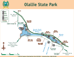
Olallie State Park Map
Map of park with detail of trails and recreation zones
326 miles away
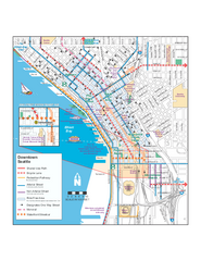
Downtown Seattle Bikeways Map
Map of bike paths, bike lanes, public transportation and points of interest in Seattle, Washington.
326 miles away
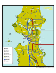
Neighborhoods of Seattle, Washington Map
Tourist map of Seattle, Washington, showing neighborhoods, parks, and scenic drives.
326 miles away
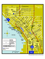
Downtown Seattle, Washington Map
Tourist map of downtown Seattle, Washington. Shows locations of Space Needle, Experience Music...
326 miles away
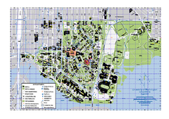
University of Washington - Seattle Campus Map
Campus Map of the University of Washington - Seattle Campus. All buildings shown.
326 miles away
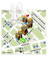
Municipal Court of Seattle Location Map
326 miles away

Tahoe Donner Ski Trail Map
Trail map from Tahoe Donner, which provides downhill, night, and nordic skiing. It has 3 lifts...
326 miles away

Seattle Shopping map for Lucky Magazine
Illustrated map of Seattle shopping locations illustrated by MapsIllustrated for Lucky Magazine(NYC)
326 miles away
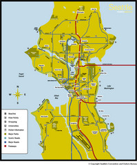
Seattle, Washington City Map
326 miles away
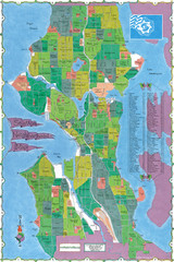
Seattle Neighborhood Map
326 miles away
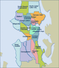
Seattle Neighborhood Map
326 miles away
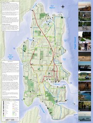
Bainbridge Island Hiking and Biking Map
Shows trails and bike routes on Bainbridge Island, Washington in the Puget Sound. Also shows...
326 miles away
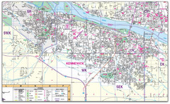
Kennewick, Washington City Map
326 miles away
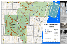
Frink Park and Leschi Park Map
326 miles away
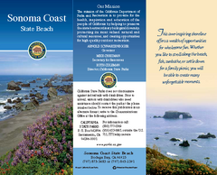
Sonoma Coast State Beach Map
Map of beach and park with detail of trails and recreation zones
327 miles away
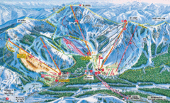
Sugar Bowl Resort Ski Trail Map
Trail map from Sugar Bowl Resort, which provides downhill and terrain park skiing. It has 12 lifts...
327 miles away
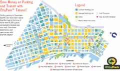
Seattle City Parks Map
327 miles away
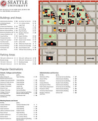
Seattle University Map
Campus Map
327 miles away

Greater Lake Berryessa Region Tourist Map
Tourist map of the Lake Berryessa region in Napa, California
327 miles away
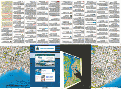
Downtown Seattle biotech map
Downtown Seattle map of biotechnology companies.
327 miles away
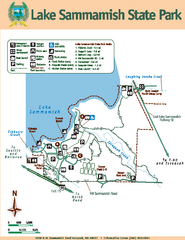
Lake Sammamish State Park Map
Map of island with detail of trails and recreation zones
327 miles away
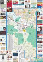
Issaquah tourist map
Issaquah, Washington tourist map. Shows all businesses.
327 miles away
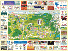
Snoqualmie tourist map
Snoqualmie, Washington tourist map. Shows all businesses.
327 miles away
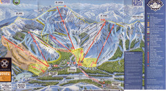
Sugar Bowl Ski Trail Map
Ski trail map of Sugar Bowl ski area from the 2008-09 season. Scanned.
327 miles away
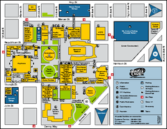
Seattle City Center, Washington Map
Map of points of interest in Seattle Center. KeyArena, the Space Needle, theaters, parking and...
327 miles away
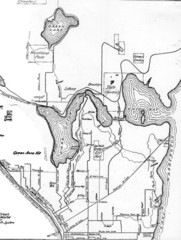
Seattle Historic Bike Paths Map
Historic bike paths in Seattle
327 miles away
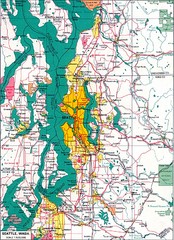
Seattle Region Map
327 miles away
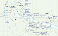
Kennewick Hotel Map
328 miles away
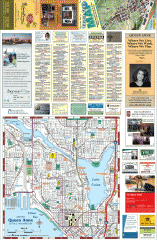
Queen Anne tourist map
Tourist map of Queen Anne, Washington. shows all businesses.
328 miles away
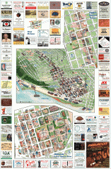
Queen Anne tourist map
Tourist map of Queen Anne, Washington. Shows all businesses.
328 miles away
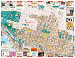
Capitol Hill tourist map
Tourist map of Capitol Hill in Seattle, Washington. Shows all businesses.
328 miles away
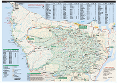
Olympic National Park wilderness campsite map
Official wilderness campsite map of Olympic National Park. Shows roads, trails, visitor...
328 miles away
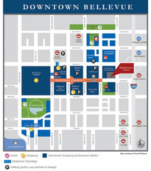
Downtown Bellevue Map
Driving Directions and Downtown Map
328 miles away
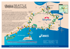
Seattle Marathon Map
Full Map of the Seattle Marathon with run details and location.
328 miles away

Magnolia tourist map
Tourist map of Magnolia, Washington. Shows all businesses.
328 miles away
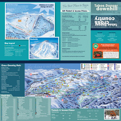
Tahoe Donner Cross Country Ski Trail Map
Ski trail map of Tahoe Donner Association. Shows both downhill and cross-country ski trails...
328 miles away
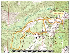
Sky Tavern XC Route Map
Topo map of the XC course for the cycling event.
328 miles away

