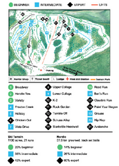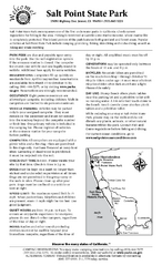
Salt Point State Park Campground Map
Map of campground region of park with detail of trails and recreation zones
313 miles away
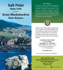
Salt Point State Park Map
Map of park with detail of trails and recreation zones
314 miles away
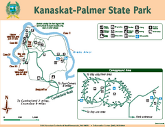
Kanaskat-Palmer State Park Map
Map of park with detail of trails and recreation zones
314 miles away
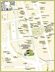
Downtown Healdsburg, California Map
Tourist maps of downtown Healdsburg, California. First map shows restaurants, galleries, wine...
314 miles away
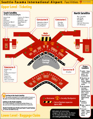
SeaTac Airport Map
316 miles away
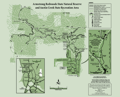
Armstrong Redwoods State Natural Reserve Map and...
Park map of Armstrong Redwoods State Natural Reserve and Austin Creek State Recreation Area in...
316 miles away
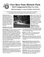
Fort Ross State Historic Park Campground Map
Map of park with detail of trails and recreation zones
318 miles away
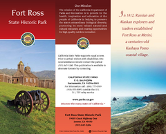
Fort Ross State Historic Park Map
Map of park with detail of trails and recreation zones
318 miles away
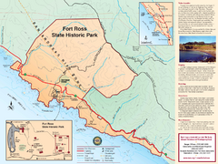
Fort Ross State Historic Park Map
Map of park with detail of trails and recreation zones
318 miles away
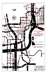
Renton WA Traffic Flow Map
City of Renton, WA traffic flow map
319 miles away
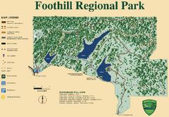
Foothill Regional Park Map
Park map of Foothill Regional Park in Sonoma County, California. Shows trails and 3 lakes.
319 miles away
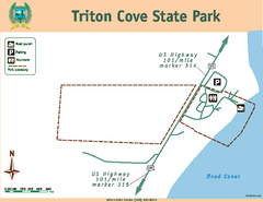
Triton Cove State Park Map
Map of park with detail of trails and recreation zones
319 miles away
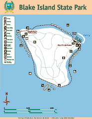
Blake Island State Park Map
Map of park with detail of trails and recreation zones
320 miles away
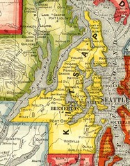
Kitsap County Washington, 1909 Map
320 miles away
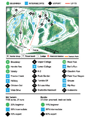
Anthony Lakes Mountain Resort Ski Trail Map
Trail map from Anthony Lakes Mountain Resort.
321 miles away
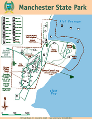
Manchester State Park Map
Map of park with detail of trails and recreation zones
322 miles away
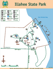
Illahee State Park Map
Map of park with detail of trails and recreation zones
323 miles away
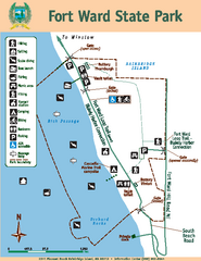
Fort Ward State Park Map
Map of park with detail of trails and recreation zones
323 miles away
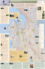
Duwamish River Community Map
This is a printed map, 32" X 40", created for the Duwamish River Cleanup Coalition in...
323 miles away
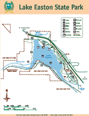
Lake Easton State Park Map
Map of island with detail of trails and recreation zones
323 miles away
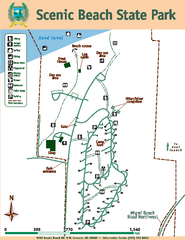
Scenic Beach State Park Map
Map of park with detail of trails and recreation zones
323 miles away

Lake Berryessa Map
Lake Berryessa Recreational Map, Napa County, California
323 miles away

Lake Berryessa Recreation Map
Lake Berryessa Recreational Map, Napa County, California
323 miles away
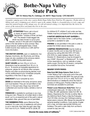
Bothe-Napa Valley State Park Map
Map of park with detail of of trails and recreation zones
323 miles away
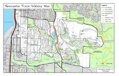
Newcastle Trails Trail Map
Trail map of existing and proposed trails in Newcastle, WA
324 miles away
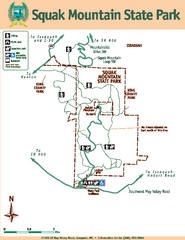
Squak Mountain State Park Map
Map of park with detail of trails and recreation zones
324 miles away
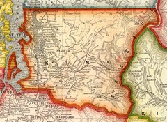
King County Washington, 1909 Map
324 miles away
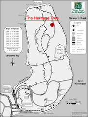
Seward Park Trails Map
Map of the trails in Seward Park, a 300-acre park on a peninsula in the south Seattle, WA area.
324 miles away
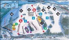
Soda Springs Ski Trail Map
Trail map from Soda Springs, which provides downhill and terrain park skiing. It has 2 lifts...
324 miles away
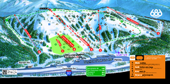
Boreal Mountain Resort Ski Trail Map
Trail map from Boreal Mountain Resort, which provides downhill, night, and terrain park skiing. It...
324 miles away
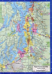
Seattle, Washington City Map
324 miles away
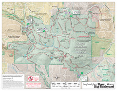
Cougar Mountain Park Trail Map
Trail map of Cougar Mountain Regional Wildland Park, part of the "Issaquah Alps"
324 miles away
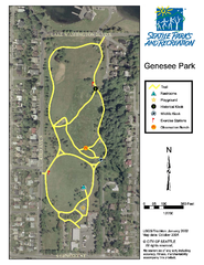
Genesee Park Trail Map
Trail map of Genesee Park in Mt Baker, Seattle, WA
324 miles away
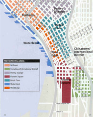
Seattle Neighborhoods Map
Map outlines several neighborhoods in Seattle, Wahsington
324 miles away
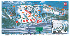
Boreal Ski Trail Map
Official ski trail map of Boreal ski area
324 miles away
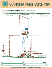
Olmstead Place State Park Map
Map of park with detail of trails and recreation zones
325 miles away
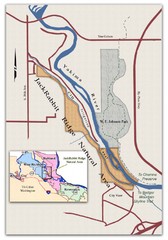
JackRabbit Ridge Natural Area Map
Shows urban wildlands
325 miles away
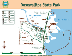
Dosewallips State Park Map
Map of park with detail of trails and recreation zones
325 miles away
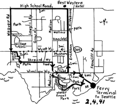
Bainbridge Walking Map
From Seattle Ferry Terminal, take the Bainbridge Ferry to Winslow. The walk is 4 miles with...
326 miles away

