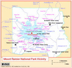
Mount Rainier National Park Vicinity Map
289 miles away
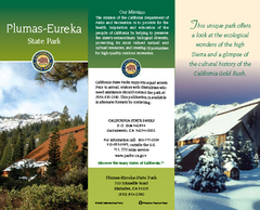
Plumas-Eureka State Park Map
Map of park with detail of trails and recreation zones
290 miles away
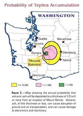
Mount Rainier Probability of Tephra (Ash...
291 miles away
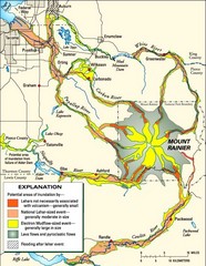
Mount Rainier Potential Lava Flow, Mud Flow and...
Hazard zones for lahars, lava flows, and pyroclastic flows from Mount Rainier. The map shows areas...
291 miles away
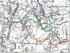
Oregon Trail Map
Old sketch map with modern cities, forts/ trading posts, and missions/churches superimposed. Shows...
292 miles away
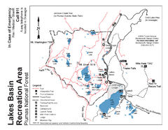
Lakes Basin Recreation Area Trail Map
Trail map of Lakes Basin Recreation Area in Plumas National Forest near Graeagle, California...
294 miles away
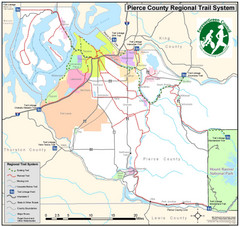
Pierce County Regional Trail Map
County-wide system of trails
294 miles away
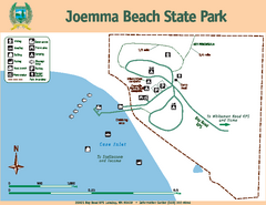
Joemma Beach State Park Map
Map of park with detail of trails and recreation zones
295 miles away
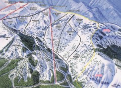
Crystal Mountain Ski Trail Map - Northway Area
Official ski trail map of the Northway area of Crystal Mountain ski area from the 2007-2008 season...
296 miles away
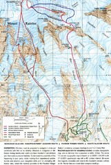
Mount Rainier Topo Map
Map of Mount Rainier Ascent. We ascended the "Muir Snowfield" and then went up the "...
297 miles away
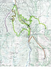
White River 50 Course Map
White River 50 Mile Trail Run
297 miles away
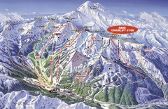
Crystal Mountain Ski Trail Map
Official ski trail map of Crystal Mountain ski area from the 2007-2008 season. 2600 acres of...
297 miles away
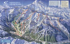
Crystal Mountain Resort Ski Trail Map
Trail map from Crystal Mountain Resort, which provides downhill skiing. It has 10 lifts servicing...
298 miles away
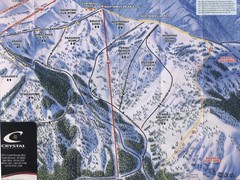
Crystal Mountain Resort Northway Inset Ski Trail...
Trail map from Crystal Mountain Resort, which provides downhill skiing. It has 10 lifts servicing...
298 miles away
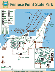
Penrose Point State Park Map
Map of park with detail of trails and recreation zones
298 miles away
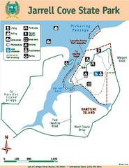
Jarrell Cove State Park Map
Map of park with detail of trails and recreation zones
298 miles away

Burning Map 2005 Map
Artistic representation of Burning Man's Black Rock City.
299 miles away
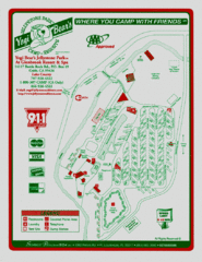
Jellystone Park at Glebrook Resort & Spa Map
300 miles away
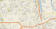
Tacoma, Washington City Map
301 miles away
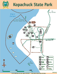
Kopachuck State Park Map
Map of island with detail of trails and recreation zones
302 miles away
South Yuba River State Park Map
Map of park with detail of trails and recreation zones
302 miles away

Yakima, Washington City Map
303 miles away
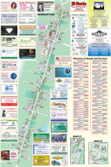
Milton tourist map
Tourist map of Milton, Washington. Shows all businesses.
303 miles away
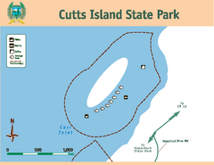
Cutts Island Stay Park Map
Map of park with detail of trails and recreation zones
303 miles away
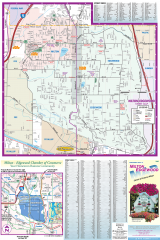
Milton and Edgewood tourist map
Tourist map of Milton and Edgewood, Washington. Shows all businesses.
303 miles away
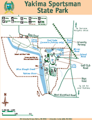
Yakima Sportsman State Park Map
Map of park with detail of trails and recreation zones
303 miles away
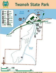
Twanoh State Park Map
Map of park with detail of trails and recreation zones
303 miles away
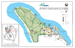
Point Defiance Park Map
304 miles away
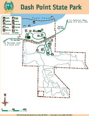
Dash Point State Park Map
Map of park with detail of trails and recreation zones
306 miles away
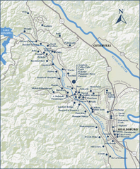
Dry Creek Valley Wineries, California Map
Map of wineries in Dry Creek Valley, California. Shows wineries and roads.
307 miles away
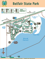
Belfair State Park Map
Map of park, with detail of trails and recreation zones
308 miles away
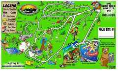
Harmony Ridge Resort Map
309 miles away
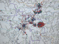
Nevada County Economic Resource Council Activity...
The ERC supports many different businesses in western Nevada County. We provide business assistance...
310 miles away
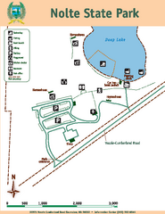
Nolte State Park Map
Map of park with detail of trails and recreation zones
310 miles away
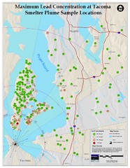
Tacoma Lead Concentration Map
A map of maximum lead concentrations near Tacoma.
310 miles away
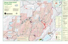
Tahuya State Forest Trail Map
Shows trails of Tahuya State Forest. Show roads, doubletrack, singletrack, and 4WD only.
311 miles away
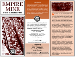
Empire Mine State Historic Park Map
Map of park with detail of trails and recreation zones
311 miles away
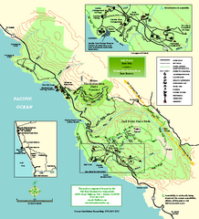
Salt Point State Park Map
Topo park map of Salt Point State Park and Kruse Rhododendron State Reserve. Shows trails by use...
312 miles away

Tourist map of Downtown Des Moines, Washington
Tourist map of Downtown Des Moines, Washington. Shows all businesses.
313 miles away

Des Moines Washington tourist map
Tourist map of Des Moines, Washington, including Kent and SeaTac airport.
313 miles away

