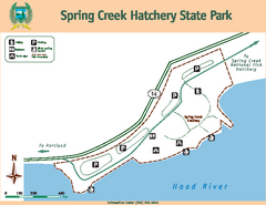
Spring Creek Hatchery State Park map
Map of park with detail of trails and recreation zones
224 miles away
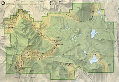
Lassen Volcanic National Park Map
225 miles away
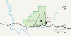
Clarno Unit John Day Fossils Beds National...
225 miles away
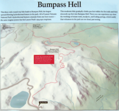
Bumpass Hell Trail Map
Trail map of route to Bumpass Hell, a major area of geo-thermal activity in Lassen National Park...
225 miles away
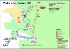
Pedal the Pinchot Bike Ride Route Map
Route Map for the Pedal the Pinchot 99 bike ride - annotated on a Park trail map.
226 miles away
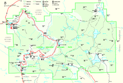
Lassen Volcanic National Park Official Park Map
Official NPS map of Lassen Volcanic National Park in California. Map shows all areas. Lassen...
226 miles away
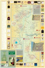
Oregon Winery Map / Local Side
231 miles away
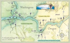
Columbia Gorge Wine Map
Wineries of the Columbia River Gorge area, Oregon.
233 miles away
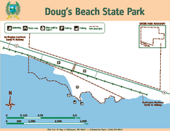
Dougs Beach State Park Map
Map of park with detail of trails and recreation zones
233 miles away
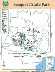
Seaquest State Park Map
Map of park with detail of trails and recreation zones
233 miles away

Mt. St. Helens 3D Print Map
This is a 3D-printed map of the cone, crater, and summit of Mt. St. Helens in Washington, USA. It...
237 miles away
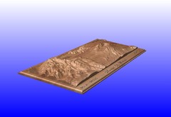
Mount St. Helens carved in wood by carvedmaps.com...
Mount St. Helens carved in wood by carvedmaps.com
237 miles away
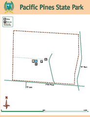
Pacific Pines State Park Map
Map of park with detail of trails and recreation zones
238 miles away
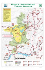
Mt. Saint Helens National Volcanic Monument...
Official recreation map showing all roads, trails, campgrounds, and other facilities. Also shows...
242 miles away
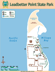
Leadbetter Point State Park Map
Map of park with detail of recreation zones and trails
245 miles away
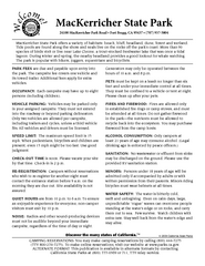
MacKerricher State Park Campground Map
Map of campground region of park with detail of trails and recreation zones
248 miles away
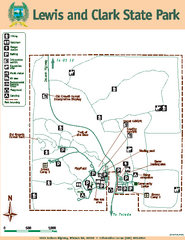
Lewis and Clark State Park Map
Map of park with detail of recreation zones and trails
248 miles away
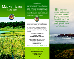
MacKerricher State Park Map
Map of park with detail of trails and recreation zones
248 miles away
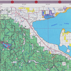
Lassen National Park Map
Forest Visitor Map of the farthest east of the park, shows all camping and recreational areas and...
249 miles away
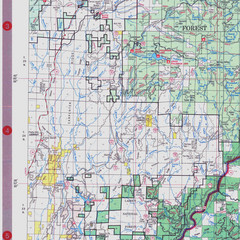
Lassen National Park Map
Visitor Map that shows most of Lassen National Forest with locations of camp grounds and...
249 miles away
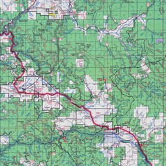
Lassen National Park Map
Forest Visitor Map showing locations of most camping and recreational areas in the eastern part of...
249 miles away

Pacific Crest Trail Map
Shows entire route of 2,650 mile Pacific Crest Trail from Mexico to Canada.
250 miles away
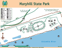
Maryhill State Park Map
Map of park with detail of trails and recreation zones
251 miles away
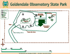
Goldendale State Park Map
Map of park with detail of trails and recreation zones
252 miles away
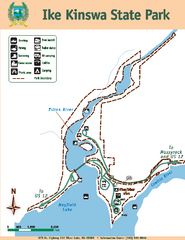
Ike Kinswa State Park Map
Map of park with detail of trails and recreation zones
255 miles away
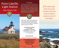
Point Cabrillo Light Station State Historic Park...
Map of park with detail of trails and recreation zones
257 miles away
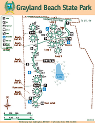
Grayland Beach State Park Map
Map of park with detail of trails and recreation zones
258 miles away
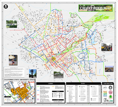
Chico Bike Map
Bicycle route map of Chico, California
258 miles away

Chico, California City Map
258 miles away
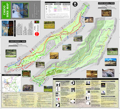
Upper and Lower Bidwell Park Bike Map
Bike map of Upper Bidwell Park and Lower Bidwell Park in Chico, California
258 miles away
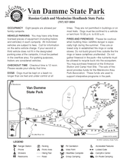
Russian Gulch State Park Campground Map
Map of campground region of park with detail of trails and recreation zones
259 miles away
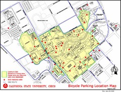
California State University, Chico Bike Parking...
Map that highlights all the available bike parking area and bike routes throughout the campus and...
259 miles away
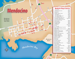
Mendocino Tourist Map
Tourist map of town of Mendocino, California. Shows shops and services.
260 miles away
Mendocino Headlands State Parks Map
Map of parks with detail of trails and recreation zones
261 miles away
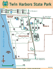
Twin Harbors State Park Map
Map of park with detail of trails and recreation zones
262 miles away

Van Damme State Park Map
Park map of Van Damme State Park near Mendocino, California. Show Fern Valley Trail through...
263 miles away
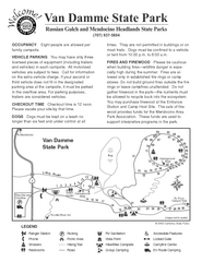
Van Damme State Park Campground Map
Map of campground region of park with detail of trails and recreation zones
263 miles away
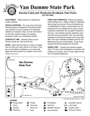
Van Damme State Park Campground Map
Map of campground region of park with detail of trails and recreation zones
263 miles away
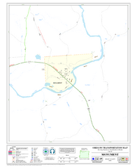
Monument Oregon Road Map
264 miles away
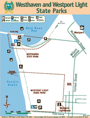
Westhaven/Westport Light State Parks Map
Map of park with detail of trails and recreation zones
265 miles away

