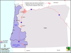
Oregon Coho Salmon Map
Shows federally listed coho salmon evolutionarily significant units in Washington state.
193 miles away

BANKS-VERNONIA STATE TRAIL Map
194 miles away
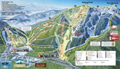
Mt. Hood Skibowl Ski Trail Map
Official ski trail map of ski area from the 2007-2008 season.
194 miles away
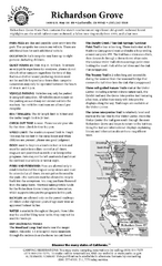
Richardson Grove State Park Campground Map
Map of campground region of park with detail of trails and recreation zones
194 miles away
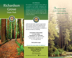
Richardson Grove State Park Map
Map of park with detail of trails and recreation zones
194 miles away

Mt. Hood SkiBowl Ski Trail Map
Trail map from Mt. Hood SkiBowl.
194 miles away
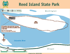
Reed Island State Park Map
Map of park with detail of trails and recreation zones
195 miles away
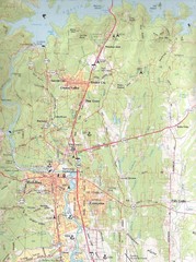
Redding, California City Map
195 miles away
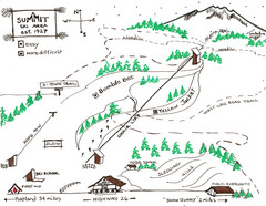
Summit Ski Area Ski Trail Map
Trail map from Summit Ski Area.
195 miles away
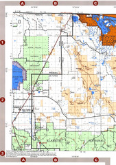
Modoc National Forest Map
Forest Visitor Map of the western most part of Modoc National Park. Includes county boundaries...
196 miles away
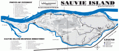
Sauvie Island tourist map
Tourist map of Sauvie Island in Oregon. Shows all businesses and points of interest.
196 miles away
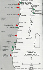
Lighthouses of the Oregon Coast Map
lighthouses (active, inactive, and destroyed) on the coast of Oregon (and the Columbia River)
197 miles away
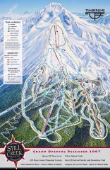
Timberline Ski Trail Map
Official ski trail map of Timberline Lodge ski area from the 2007-2008 season.
198 miles away

Timberline Ski Area Ski Trail Map
Trail map from Timberline Ski Area.
198 miles away
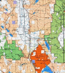
Modoc National Park Map
Visitor Map of Modoc National Park, eastern part. Includes all roads, lakes, camping and boating...
198 miles away
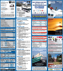
Mt. Hood Meadows Ski Resort Ski Trail Map
Trail map from Mt. Hood Meadows Ski Resort.
199 miles away
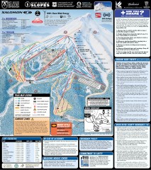
Mt. Hood Meadows Ski Trail Map
Official ski trail map of Mt. Hood Meadows ski area from the 2007-2008 season.
199 miles away
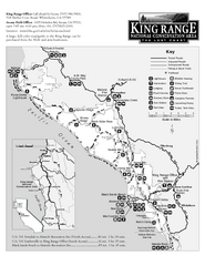
King Range National Conservation Area Trail Map
Trail map of the King Range National Conservation Area, home of the Lost Coast, California. Shows...
200 miles away
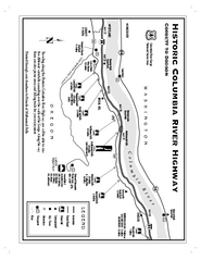
Historic Columbia River Highway Map
Official map from the US Forest Service. Shows the Corbett to Dodson stretch of Highway 30 with...
201 miles away

Lakeview Oregon Road Map
202 miles away
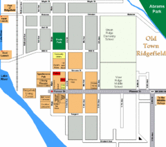
Guide Map of Old Town Ridgefield
Guide Map of Old Town Ridgefield, Washington
202 miles away
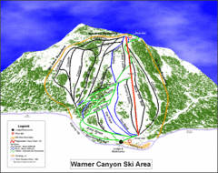
Warner Canyon Ski Trail Map
Trail map from Warner Canyon, which provides downhill skiing.
204 miles away
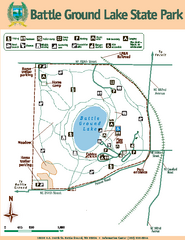
Battle Ground Lake State Park Map
Map of park with detail of trails and recreation zones
206 miles away
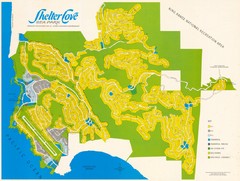
Shelter Cove Map
Shelter Cove Subdivision Map. Shows all streets, houses, commercial buildings, gas stations, and...
209 miles away
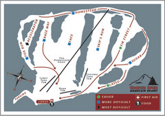
Cooper Spur Ski Area Ski Trail Map
Trail map from Cooper Spur Ski Area.
210 miles away
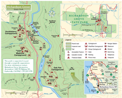
Richardson Grove State Park Map
Park map of Richardson Grove State Park, California. Shows trails, campgrounds, and other...
211 miles away
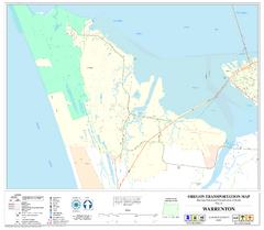
Warrenton Oregon Road Map
215 miles away
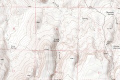
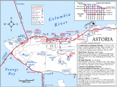
Astoria Oregon Map
A detailed topographic map of Astoria, Oregon and the Columbia River.
217 miles away
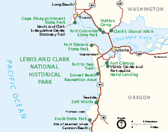
Lewis & Clark National Historic Trail...
Official NPS map of Lewis & Clark National Historic Trail in Oregon-Washington. Shows all areas...
221 miles away
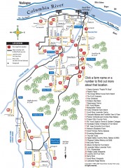
Hood River County Fruit Loop map
35-mile scenic drive through the valley's orchards, forests, farmlands, and friendly...
221 miles away
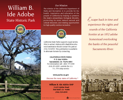
William B. Ide Adobe State Historic Park Map
Map of park with detail of trails and recreation zones
221 miles away
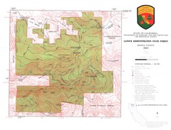
Latour State Forest Map
Countour map of the Latour Demonstration Forest.
222 miles away
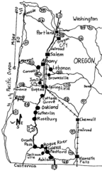
Oregon Walks Map
Walks in Portland, Oregon City, Corvallis, Salem, Lebanon, Albany, Eugene, Springfield, Junction...
222 miles away
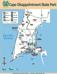
Cape Dissapointment State Park Map
Map of park with detail of trails and recreation zones
223 miles away
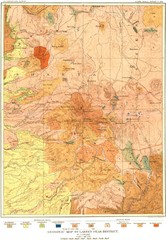
Lassen Peak District Geological Map
Geologic map of the Lassen Peak area in Lassen National Park, California. Shows sedimentary rock...
223 miles away
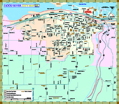
Hood River Map
Tourist map of city of Hood River, Oregon.
223 miles away
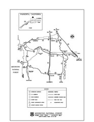
Mendocino National Forest map
Map of the Nome Cult Trail Walk in the Mendocino National Forest.
223 miles away

