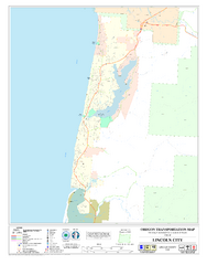
Lincoln City Oregon Road Map
131 miles away

Independence Oregon Road Map
132 miles away

BTS Route Map
Map of BTS bus routes throughout Klamath Falls
133 miles away
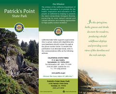
Patrick's Point State Park Map
Map of park with detail of trails and recreation zones
133 miles away
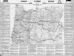
Oregon Military Map
Detailed guide to military forts, camps and roads on teh western Oregon coast
138 miles away
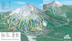
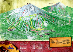
Mt. Bachelor Ski Trail map
Official ski trail map of Mount Bachelor ski area from the 2006-2007 season.
139 miles away
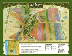
Van Duzer Vineyard Map
"A colorful vineyard map that shows the location of Van Duzer’s numerous grape varietals...
140 miles away
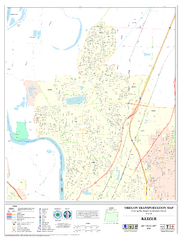
Keizer Oregon Road Map
144 miles away
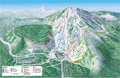
Hoodoo Mountain Ski Trail Map
Ski trail map of Hoodoo Mountain ski area.
146 miles away
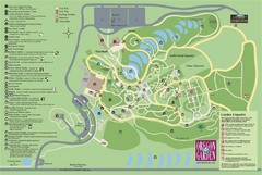
Oregon Garden Map
Map and key marking trails and more in this amazing garden.
149 miles away
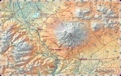
Mt. Shasta Scenic Area map
Great map of the Mt. Shasta region. Shows roads (including 4WD), mountains, lakes, and hiking...
150 miles away
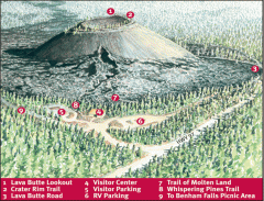
Newberry National Volcanic Monument - Lava Lands...
Map of Lava Butte which rises 500 feet above the visitor center. This cinder cone erupted 7,000...
151 miles away
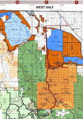
Modoc National Park Map
Visitor Map of Modoc National Park--Western Part. Includes the parameters of the Lava Beds...
153 miles away
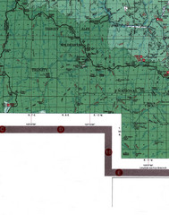
Klamath National Forest Map
Visitor Map of Klamath, eastern part of the forest, includes all roads, camp grounds, creeks, and...
154 miles away
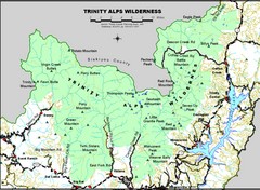
Trinity Alps Wilderness Map
Overview map of the Trinity Alps Wilderness near Weaverville, CA
155 miles away
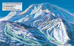
Mt. Shasta Ski Park Ski Trail Map
Official ski trail map of Mount Shasta Ski Park ski area
156 miles away
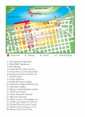
Old Town, Eureka, California Map
Tourist map of the Old Town area of Eureka, California. Shows various attractions including murals...
156 miles away
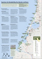
Humboldt Bay Area Beaches and Dunes Map
Humboldt Bay Beaches & Dunes Map & Guide
156 miles away
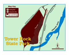
Tower Rock State Park Map
Tower Rock State Park is one of Montana's newest state parks. The 400-foot high igneous rock...
157 miles away
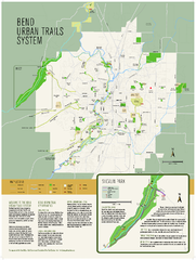
Bend urban trails system Map
The Bend Urban Trail System currently includes approximately 48 developed miles of trails which...
157 miles away
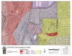
Bend, Oregon Zoning Map
Map of the zoning area changes in Bend, Oregon. Includes color-coded zoning areas.
158 miles away
Fort Humboldt State Historic Park Map
Map of park with detail of trails and recreation zones
158 miles away
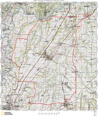
Spring Century Bike Route Map
Oregon Spring Century Ride
161 miles away
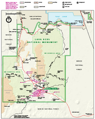
Lava Beds National Monument official park map
Official park map of Lava Beds National Monument. Shows trails, roads, cave entrances, and lava...
161 miles away
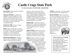
Castle Crags State Park Map
Map of park with detail of trails and recreation zones
161 miles away
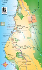
Humboldt County, California Map
Tourist map of Humboldt County, California. Shows parks, wildlife refuges, visitor centers, and...
171 miles away
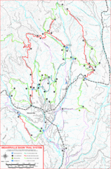
Weaverville Basin Trail System Map
Guide to trails near Weaverville, CA
172 miles away

Weaverville Joss House State Historic Park Map
Map of park with detail of trails and recreation zones
173 miles away
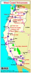
Major West Coast Volcanoes (Washington, Oregon...
173 miles away
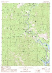
Lamoine Quad - Shasta Lake Map
Topographic map, Lamoine Quadrangle, California 1990. Area of map includes a portion of Shasta Lake...
174 miles away

King City Oregon Road Map
175 miles away
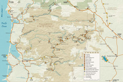
Tillamook State Forest Map
Recreation map of Tillamook State Forest. Over 60 miles of non-motorized trails and 150 miles of...
176 miles away
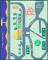
Tsasdi Resort - Shasta Lake Map
Map of the grounds of Tsasdi Resort, lakehead, CA.
176 miles away
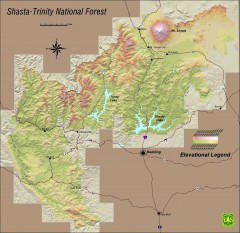
Shasta Trinity National Forest Elevation Map
Shaded relief map of Shasta-Trinity National Forest in northern California
177 miles away
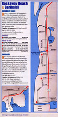
Rockaway Beach Map
177 miles away

Tigard Oregon Road Map
177 miles away
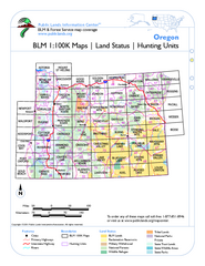
Oregon Hunting Unit/BLM Map Index
This map shows which BLM land ownership maps cover all hunting units in Oregon. Color indicates...
178 miles away

Lake Oswego Oregon Road Map
179 miles away

