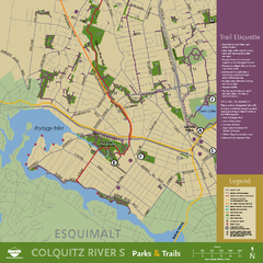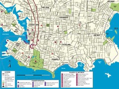
Downtown Victoria Map
372 miles away

Shuttle to Town Map
372 miles away
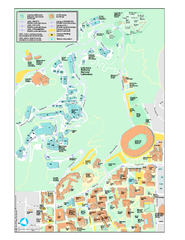
University of California, Berkeley Visitor Map
Colorful Map that illustrates the location of all buildings, parking areas, and streets in and...
372 miles away
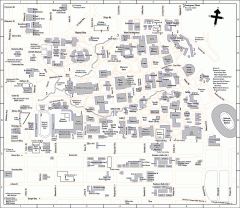
UC Berkeley Map
UC Berkeley campus map
372 miles away
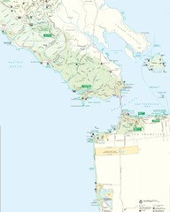
Golden Gate National Recreation Area Detail Map
373 miles away
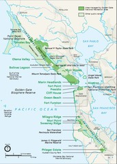
Golden Gate National Recreation Area Area Map
373 miles away
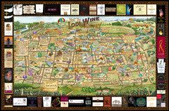
Lodi Valley Wine Map & Visitors Guide
A great source for information about the Lodi Wineries and our valleys rich Wine Region
373 miles away
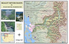
Skagit River Map
Skagit River Basin Overview Map (Pink shading is the FEMA 100 Year Flood)
373 miles away
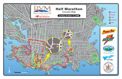
2008 Royal Victoria Half Marathon Map
Course Map for the Royal Victoria Half Marathon. Held Sunday, October 12, 2008
373 miles away
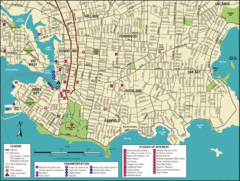
Victoria, British Columbia Tourist Map
373 miles away
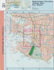
Downtown Victoria, British Columbia Tourist Map
373 miles away

Welcome to Esquimalt Parks and Recreation...
373 miles away
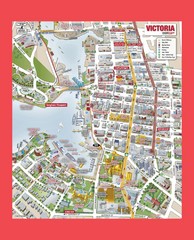
Victoria City Tourist Map
Tourist map of Victoria City on Vancouver Island, BC
373 miles away
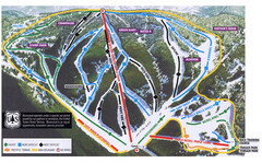
Bluewood Ski Trail Map
373 miles away
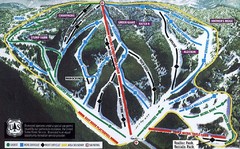
Bluewood Ski Trail Map
Trail map from Bluewood, which provides downhill, nordic, and terrain park skiing. It has 3 lifts...
373 miles away
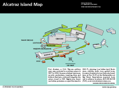
Alcatraz Island Map
Official NPS map of Alcatraz Island National Park in the San Francisco Bay, California
373 miles away
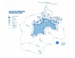
Lafayette Reservoir Recreation Area Map
373 miles away
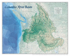
Columbia River Basin Map
374 miles away
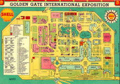
Golden Gate International Expo 1939 Map
Map of the 1939 Golden Gate International Expo.
374 miles away
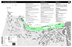
Crissy Field Map
Official NPS map of Crissy Field and vicinity in the Presidio of San Francisco, CA
374 miles away
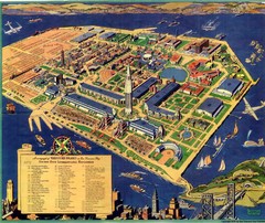
Golden Gate International Expo Cartograph 1939 Map
Bird's eye view of the Golden Gate International Expo in 1939 at Treasure Island in the San...
374 miles away
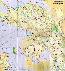
Shell Ridge Open Space Trail Map
Trail map of Shell Ridge Open Space, Walnut Creek's largest open space unit, with trails for...
374 miles away
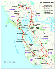
Bay Area Ridge Trail Map
Map of the Bay Area Ridge Trail. Shows completed segments through Sep 2009. "a 550+ mile...
374 miles away
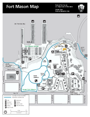
Fort Mason Map
Overview map of Fort Mason, San Francisco, California. Shows trails and points of interest.
374 miles away
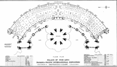
San Francisco Palace of the Fine Arts Map
374 miles away
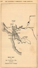
Antique map of San Francisco from 1901
"Milk Map of San Franciso, Cal., Showing Productive Area of Supply." From Report of the...
375 miles away
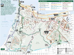
Presidio Trail and Overlook Map
Trail map of the Presidio in San Francisco. Shows 12 major trails (both existing and proposed) and...
375 miles away
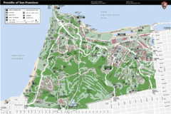
Presidio of San Francisco detail map
Detail map of the Presidio of San Francisco from NPS. Shows hiking/walking trails and POIs such as...
375 miles away
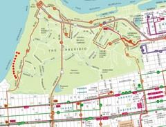
Baker Beach, San Francisco Tourist Map
375 miles away
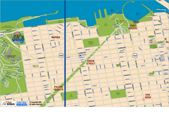
Downtown San Francisco: Fort Mason, the Marina...
Tourist map of Fort Mason, the Marina, and Pacific Heights area in downtown San Francisco...
375 miles away
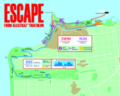
Escape From Alcatraz Triathlon Course Map 2009
Official course map of the 2009 Escape From Alcatraz Triathlon in San Francisco
375 miles away
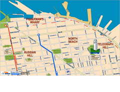
Downtown San Francisco: Fisherman's Wharf...
Tourist map of Fisherman's Wharf, North Beach, and Telegraph Hill area in downtown San...
375 miles away
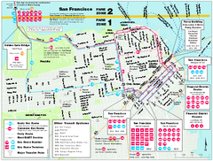
San Francisco Bus and Ferry Map
375 miles away
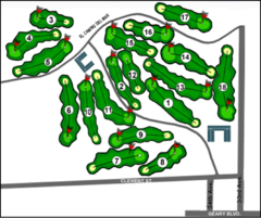
Lincoln Park Golf Course Map
375 miles away
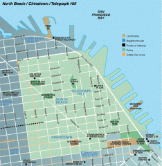
North Beach, Chinatown, Telegraph Hill map
Tourist map of North Beach, Chinatown, and Telegraph Hill in San Francisco
375 miles away

Mount Tolmie Park Map
375 miles away
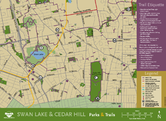
Swan Lake & Cedar Hill Area Map
Swan Lake & Cedar Hill Parks & Trails
375 miles away
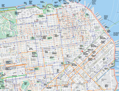
San Francisco Map
Road and Bike routes in San Francisco
375 miles away
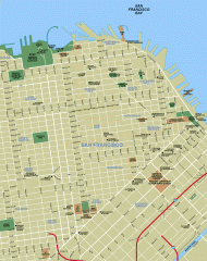
Downtown San Francisco tourist map
Tourist map of Downtown San Francisco spanning several neighborhoods, showing points of interest.
375 miles away

