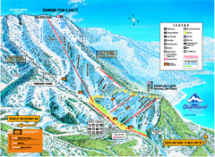
Diamond Peak Ski Trail Map
Trail map from Diamond Peak.
343 miles away
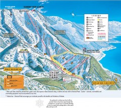
Diamond Peak Ski Trail Map
Official ski trail map of Diamond Peak ski area from the 2007-2008 season.
343 miles away
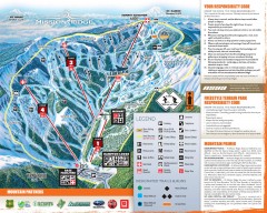
Mission Ridge Ski Trail Map
Official ski trail map of Mission Ridge ski area from the 2007-2008 season.
344 miles away
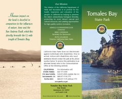
Tomales Bay State Park Map
Map of park with detail of trails and recreation zones
344 miles away
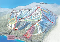
Homewood Ski Trail Map
Official ski trail map of Homewood ski area from the 2007-2008 season.
344 miles away
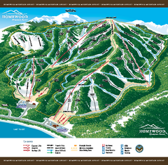
Homewood Mountain Resort Ski Trail Map
Trail map from Homewood Mountain Resort, which provides downhill and terrain park skiing. It has 7...
344 miles away
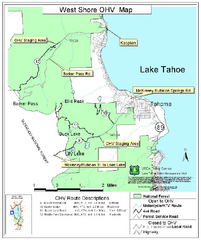
West Shore Lake Tahoe Off-highway Vehicle Map
Off-highway vehicle map of the West Shore of Lake Tahoe. Roads open to motorcycles, ATVs, and 4x4s...
345 miles away
Mission Ridge Ski Area Ski Trail Map
Trail map from Mission Ridge Ski Area, which provides downhill, night, and terrain park skiing. It...
345 miles away
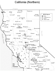
Northern California Airports Map
345 miles away
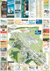
Mukilteo tourist map
Mukilteo, Washington tourist map. Shows all businesses.
346 miles away
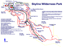
Skyline Wilderness Park Map
Trail map of Skyline Wilderness Park in Napa, California
346 miles away
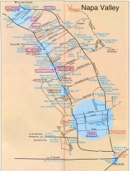
Napa Valley Tourist map
Tourist map of Napa Valley in California, showing wineries and museums in the area.
347 miles away
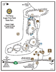
Sugar Pine Point State Park Campground Map
Map of campground region of park with detail of trails and recreation zones
347 miles away

Sugar Pine Point State Park South Map
Map of southern region of park with detail of trails and recreation zones
347 miles away
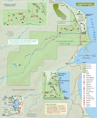
Sugar Pine Point State Park Map
Map of park with detail of trails and recreation zones
347 miles away
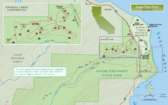
Sugar Pine Point State Park North Map
Map of northern region of park with detail of trails and recreation zones
347 miles away

Digital Elevation Model Satellite Tahoe Map
Digital Elevation Models
348 miles away
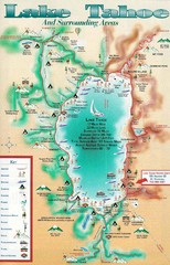
Lake Tahoe and nearby activities Map
Lake Tahoe and nearby resorts and activities
348 miles away
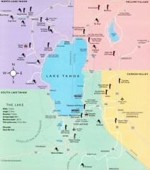
Lake Tahoe Area, California Map
Recreation map of Lake Tahoe, California. Points of interest shown include golfing, skiing, and...
348 miles away
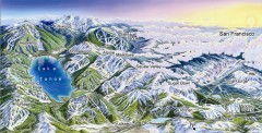
Lake Tahoe Ski Resort map
Winter map of Lake Tahoe showing relative position of all ski resorts. South-facing view. Created...
348 miles away
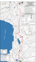
Tahoe Rim Trail: Tahoe Meadows to Spooner Summit...
Topographic hiking map of the Tahoe Meadows-Spooner Summit leg of the Tahoe Rim Trail. Shows bike...
348 miles away
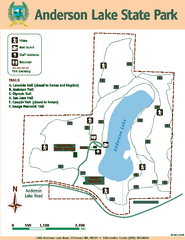
Anderson Lake State Park Map
Map of park and trails
349 miles away
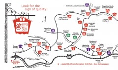
Apple Hill tourist map
Map of Apple Hill growers in Camino, California. Shows vineyards and orchards.
349 miles away
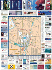
Snohomish tourst map
Tourist map of Snohomish, Washington. Shows all businesses.
350 miles away
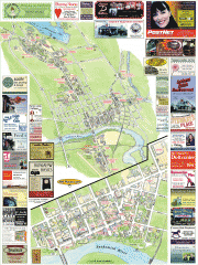
Snohomish tourist map
Snohomish, Washington tourist map. Shows all businesses.
350 miles away

Mt. Burdell Open Space Preserve Map
Trail map of Mt. Burdell Open Space Preserve and Olompali State Historic Park in Novato, Marin...
350 miles away
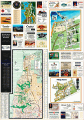
Mukilteo tourist map
Greater Mukilteo, Washington tourist map. Shows all businesses.
350 miles away

South Whidbey Island tourist map
Tourist map of South Whidbey Island, Washington. Shows all businesses.
351 miles away
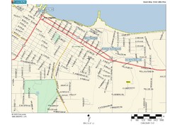
Port Angeles City Map
351 miles away
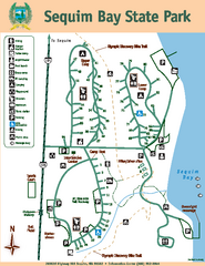
Sequim Bay State Park Map
Map of park with detail of trails and recreation zones
351 miles away
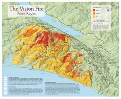
Point Reyes Vision Fire Map
Map of the burn intensity of the 1995 Vision Fire in Point Reyes National Seashore.
352 miles away
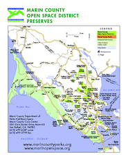
Marin Open Space Preserves Map
Shows all Open Space Preserves in Marin County, CA.
352 miles away
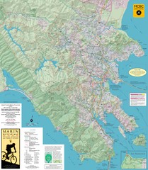
Marin, California Bike Map
352 miles away

South Whidbey tourist map
Tourist map of South Whidbey, Washington. Shows all businesses.
352 miles away
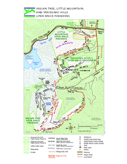
Indian Tree, Little Mountain, and Verissimo Hills...
352 miles away
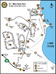
D.L. Bliss State Park Campground Map
Map of park with detail of trails and recreation zones
352 miles away
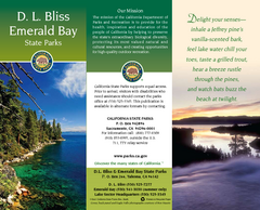
D.L. Bliss State Park Map
Map of park with detail of trails and recreation zones
352 miles away
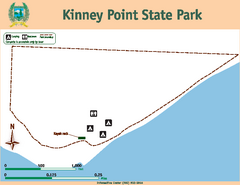
Kinney Point State Park Map
Map of island with detail of trails and recreation zones
352 miles away
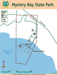
Mystery Bay State Park Map
Map of park with detail of trails and recreation zones
353 miles away
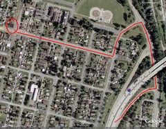
19th and Walnut in Everett, WA Map
353 miles away

