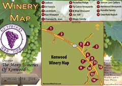
Kenwood Wine Tasting Map
332 miles away
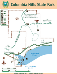
Columbia Hills State Park Map
Map of park with detail of trails and recreation zones
332 miles away
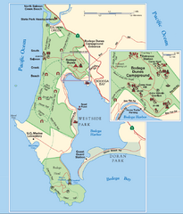
Bodega Bay Park Map
Park map of the Sonoma Coast State Beach park lands in Bodega Bay, California. Shows roads, trails...
332 miles away
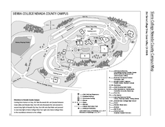
Sierra College Campus Map
Sierra College Campus Map. All buildings shown.
332 miles away
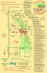
Sammamish Valley Guide Map
332 miles away
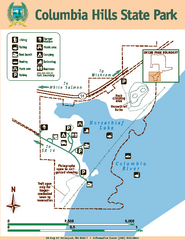
Columbia Hills State Park Map
Map of park with detail of trails and recreation zones
332 miles away
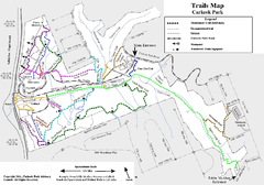
Carkeek Park Trail Map
Trail map of Carkeek Park on the Puget Sound, Seattle, WA. Shows maintained and unmaintained trails.
333 miles away
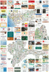
Kirkland tourist map
Kirkland, Washington tourist map. Shows all businesses.
333 miles away
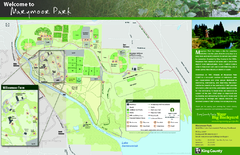
Marymoor Park Map
333 miles away

Downtown Reno, Nevada Map
Tourist map of Reno, Nevada. Event and convention centers, visitor's center, parks, and other...
333 miles away
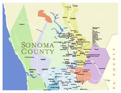
Wineries in Sonoma County, California Map
Map of winery locations in Sonoma County, California. Shows wineries, tasting rooms, and valleys of...
333 miles away
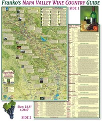
Napa Valley Wine Country Guide Map
Map of the Napa Valley Wine Country. With over 250 local Wineries listed. Printed on waterproof...
333 miles away

Greater Kirkland tourist map
Tourist map of Greater Kirkland, Washington. Shows all businesses.
334 miles away
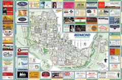
Redmond tourist map
Tourist map of Redmond, Washington. Shows all businesses.
334 miles away
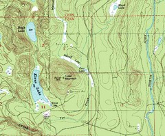
Fuller Mountain Topo Map
Fuller Mountain map with lakes, mountains and elevations identified.
334 miles away
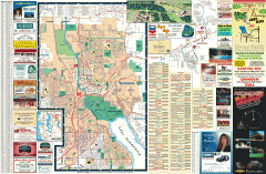
Redmond Area tourist map
Tourist map of the Redmond Area on Washington. Shows all businesses.
334 miles away
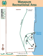
Wanapum Recreational Area Map
Map of park with detail of trails and recreation zones
334 miles away
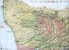
Olympic National Park Map
334 miles away

Shadowrun Redmond Map
334 miles away
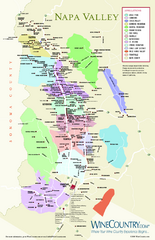
Napa Valley Wine Map
Wine map of Napa Valley, Napa, California. Shows all vineyards and shading by appellations from...
335 miles away
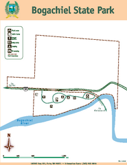
Bogachiel State Park Map
Map of park with detail of trails and recreation zones
335 miles away

Granite Chief Wilderness Map
Trail map of Granite Chief Wilderness in Lake Tahoe region. Shows trails (inlcuding Pacific Crest...
335 miles away
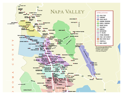
Napa County Wineries, California Map
Map of wineries in Napa County, California. Shows wineries and appellations.
335 miles away
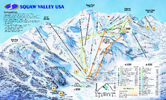
Squaw Valley USA Trail Map
Trail map of Squaw Valley ski area in Lake Tahoe, California
335 miles away
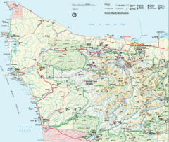
Olympic National Park Map
335 miles away
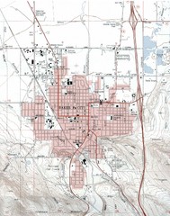
Baker City, Oregeon Tourist Map
335 miles away
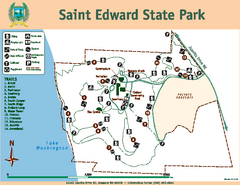
Saint Edward State Park Map
Map of park with detail of trails and recreation zones
336 miles away
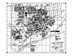
University of California at Davis Map
Campus Map of the University of California at Davis. All buildings shown.
336 miles away
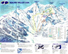
Squaw Valley Ski Trail Map
Scan of ski trail map of Squaw Valley ski area from the 2000-2001 season.
336 miles away
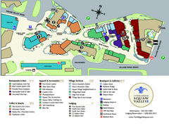
Squaw Valley Base Village Map
Village map of base of Squaw Valley Ski Resort, Lake Tahoe, California. Shows all restaurants...
336 miles away
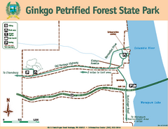
Ginkgo Petrified Forest State Park Map
Map of park with detail of trails and recreation zones
336 miles away
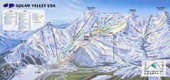
Squaw Valley USA Ski Trail Map
Trail map from Squaw Valley USA, which provides downhill, night, nordic, and terrain park skiing...
336 miles away
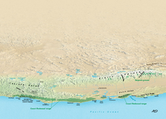
California Redwood Range Map
NPS prospective map of the coastal redwoord range in California, extending from Santa Cruz north to...
336 miles away
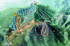
Northstar Ski Trail Map
Official ski trail map of Northstar-at-Tahoe ski area from the 2007-2008 season.
336 miles away
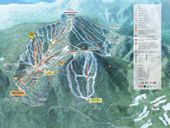
Northstar-at-Tahoe Ski Trail Map
Official trail map of Northstar-at-Tahoe ski area from the 2009-2010 season
336 miles away
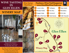
Glen Ellen Wine Tasting Map
336 miles away
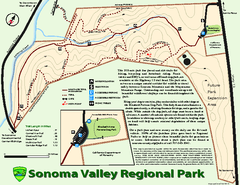
Sonoma Valley Regional Park Map
Trail map of 202 acre Sonoma Valley Regional Park.
336 miles away
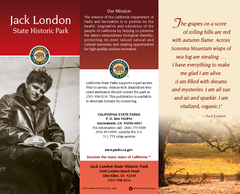
Jack London State Historic Park Map
Map of park with detail of trails and recreation zones
336 miles away
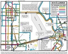
Davis, California BIke Map
337 miles away
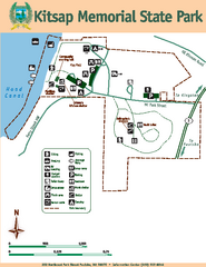
Kitsap Memorial State Park Map
Map of island with detail of trails and recreation zones
337 miles away

