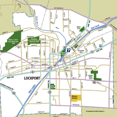
Lockport, New York Map
Map of downtown Lockport, New York, with parks, hospitals, and other points of interest shown.
86 miles away

Downtown Buffalo Map
89 miles away
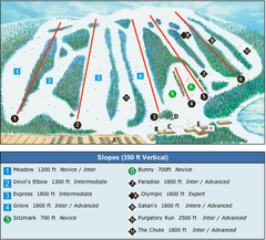
Devil’s Elbow Ski Trail Map
Trail map from Devil’s Elbow, which provides downhill skiing. This ski area has its own website.
89 miles away

Buffalo, New York City Map
89 miles away

University of Buffalo Campus Maps Map
North, South and Downtown
89 miles away
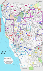
Buffalo, New York Tourist Map
89 miles away
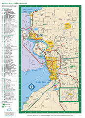
Buffalo, New York Map
Three tourist maps: one of the Buffalo, New York, area, one of the city of Buffalo, and one of...
89 miles away
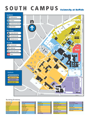
SUNY at Buffalo - South Campus Map
SUNY at Buffalo - South Campus Map. All buildings shown.
89 miles away
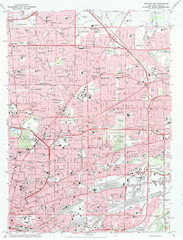
Northeast Buffalo Topo Map
1:24,000 topographic map of the northeast part of Buffalo, New York and surrounding suburbs...
89 miles away
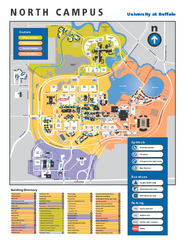
SUNY at Buffalo - North Campus Map
Campus Map of SUNY at Buffalo North campus. All buildings shown.
90 miles away
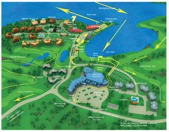
Subaru Ironman Full Resort Map
Overview of Staging areas for Ironman race,
91 miles away

Brighton-Township, Ontario Map
93 miles away
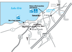
Silver Creek and Irving Map
Tourist map of Silver Creek and Irving, New York. Shows shops, boat ramps, and marinas.
98 miles away
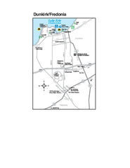
Dunkirk and Fredonia, New York Map
Tourist map of Dunkirk, New York, and Fredonia, New York. Shows shops, parks, lodging and other...
98 miles away
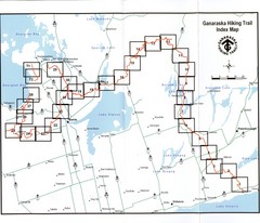
Ganaraska Hiking Trail Map
Map of the hiking trail at Ganaraska forest in Canada. Shows roads, surrounding lakes, towns and...
98 miles away
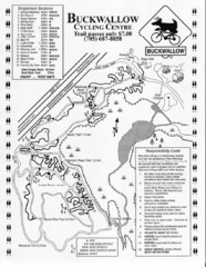
Buckwallow Trail Map
Biking trail map for Buckwallow Cycling Center
98 miles away
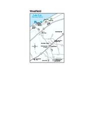
Westfield Map
Tourist map of Westfield, New York, and surrounding area. Shows shops, museums, boat ramps and...
102 miles away
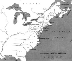
Colonial North America - 1689-1783 Historical Map
104 miles away
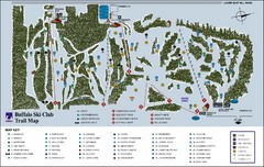
Buffalo Ski Club Trail Map
106 miles away
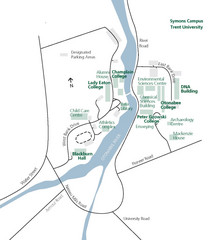
Trent University Campus Map
Campus map of the Symons Campus at Trent University in
106 miles away
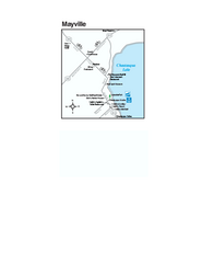
Downtown Mayville Map
Tourist map of Downtown Mayville, New York. Shows museums, restaurants, shops, government buildings...
108 miles away
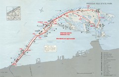
Erie Marathon Course Park Map
Map of marathon course and alternate course sidewalk trail for Erie Marathon in Presque Isle State...
109 miles away

Presque Isle State Park map
Detailed recreation map for Presque Isle State Park in Pennsylvania
109 miles away
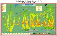
Kissing Bridge Ski Slope Map
Map of Kissing Bridge ski area; shows steepness of slopes with color-coding.
111 miles away
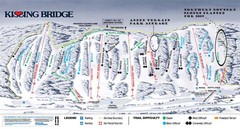
Kissing Bridge Ski Trail Map
Trail map from Kissing Bridge.
111 miles away
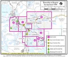
Seguin Township Map
Shows wards and parks in township of Seguin, Ontario.
111 miles away
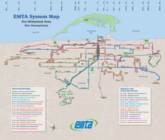
Erie Metro Bus routes Map
111 miles away
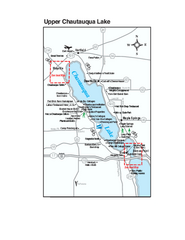
Upper Chautauqua Lake Map
Tourist map of upper Chautauqua Lake, New York. Shops, lodging, and other points of interest in the...
111 miles away
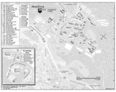
Penn State Erie Behrend College Campus Map
Campus map of Behrend College, Penn State Erie.
112 miles away
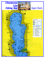
North Chautauqua Lake Fishing Map
Fishing map of northern Chautauqua Lake, New York. Shows marinas, boat ramps, state parks, and...
112 miles away
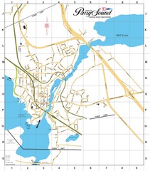
Parry Sound Town Map
112 miles away
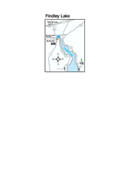
Findley Lake Map
Tourist map of Findley Lake, New York. Shows shops, lodging and hiking trails.
113 miles away
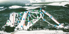
Cockaigne Ski Resort Ski Trail Map
Trail map from Cockaigne Ski Resort.
114 miles away
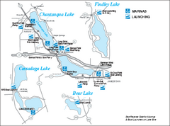
Marinas and Boat Ramps on Chautauqua and...
Recreation map of Chautauqua, Findley, Cassadaga, and Bear Lakes, New York. Shows marinas and boat...
115 miles away
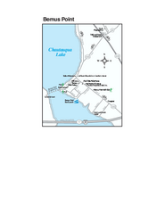
Bemus Point Map
Tourist map of Bemus Point, NY. Shows lodging, parks, shops, restaurants, and other points of...
116 miles away

Peak-N-Peek Ski Trail Map
Official ski trail map of Peak-N-Peek ski area
117 miles away
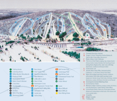
Peek’n Peak Ski Area Ski Trail Map
Trail map from Peek’n Peak Ski Area.
117 miles away
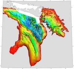
Lake Huron Depths Map
118 miles away
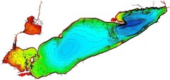
Lake Erie Depths Map
119 miles away
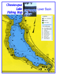
Southern Chautauqua Lake Fishing Map
Fishing map of southern Chautauqua Lake, New York. Shows marinas, boat ramps, state parks and fish...
119 miles away

