Could not geocode “Vietnam”: no answer to geocode request.
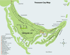
Treasure cay Map
Near treasure cay bahamas
780 × 612•42 KB•GIF
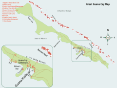
Great Guana cay Map
807 × 606•33 KB•GIF
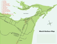
Marsh Harbour Map
Near marsh harbour bahamas
769 × 588•33 KB•GIF
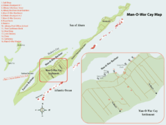
Man o War cay Map
Near man o war cay
813 × 612•38 KB•GIF
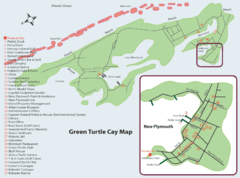
Green Turtle cay Map
811 × 603•54 KB•GIF
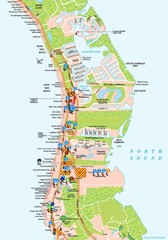
West Cayman detail Map
1050 × 1500•280 KB•JPG
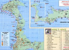
West Cayman Map
1367 × 1003•275 KB•JPG

Cayman Resort Map
2001 × 907•174 KB•JPG
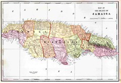
Jamaica 1910 Map
4164 × 2880•527 KB•JPG
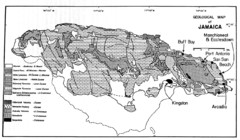
Jamaican geology Map
2589 × 1511•1.6 MB•JPG

Port Antonio road Map
Near Port Antonio jamaica
1143 × 409•99 KB•JPG

Ocho Rios rod Map
1143 × 401•99 KB•JPG
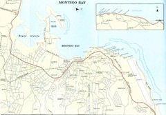
Montego Bay road Map
1733 × 1205•260 KB•JPG
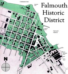
Falmouth Historic District Map
1191 × 1308•338 KB•JPG
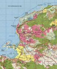
Montego bay topo Map
1500 × 1800•670 KB•JPG
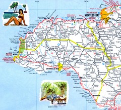
Western Jamaica road Map
1107 × 1000•521 KB•JPG
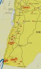
Southern Jordan tourist Map
500 × 835•34 KB•JPG
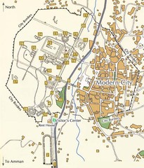
Jarash Jordan Map
Near jerash jordan
536 × 628•98 KB•JPG
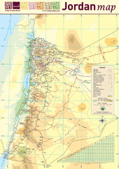
Jordan tourism Map
Near petra jordan
1370 × 1933•646 KB•JPG
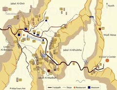
Petra and monuments Map
Near petra jordan
680 × 525•53 KB•JPG
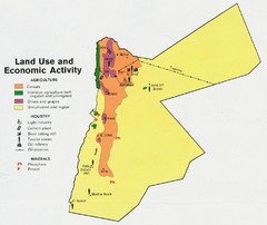
Jordan land use Map
942 × 792•104 KB•JPG
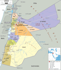
Jordan political Map
1412 × 1618•355 KB•GIF
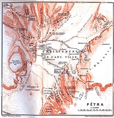
Petra Map
Near petra jordan
1147 × 1179•422 KB•JPG
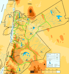
Jordan Water resources Map
900 × 964•82 KB•GIF
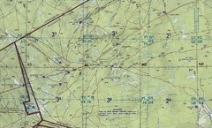
Jordan Iraq boarder Map
2048 × 1234•817 KB•JPG
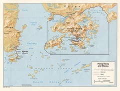
Macau Map
1498 × 1141•267 KB•JPG

Mayotte tourism Map
602 × 854•164 KB•JPG
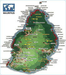
Mauritius tourist Map
540 × 612•134 KB•JPG

Mauritius Map
490 × 640•64 KB•GIF

Mauritius topography Map
1810 × 2160•942 KB•JPG
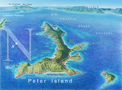
Peter Island BVI Map
Near peter island bvi
1200 × 881•1.3 MB•JPG
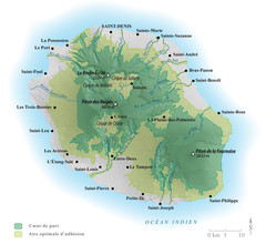
Reunion National Parks Map
654 × 600•131 KB•JPG
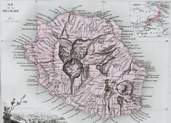
Reunion 1886 Map
1042 × 753•226 KB•JPG
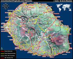
Reunion Tourist Map
1280 × 1046•480 KB•JPG
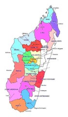
Madagascar regions Map
512 × 876•64 KB•JPG

Madagascar land cover and elevation Map
540 × 540•94 KB•JPG
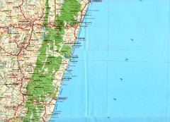
Antananarivo region Map
3458 × 2500•2.0 MB•JPG
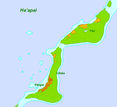
Foa Island Tonga Map
Near haapa'i
468 × 428•26 KB•JPG
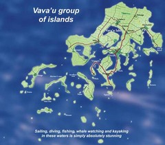
Vava'u Island group Map
Near vava'u
468 × 412•33 KB•JPG

Swain's Island Map
Near swains island
1545 × 1275•398 KB•JPG
page 20 of 379

