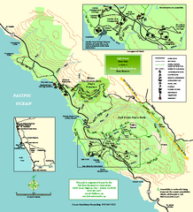
Salt Point State Park Map
Topo park map of Salt Point State Park and Kruse Rhododendron State Reserve. Shows trails by use...
797 miles away
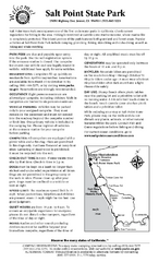
Salt Point State Park Campground Map
Map of campground region of park with detail of trails and recreation zones
798 miles away
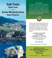
Salt Point State Park Map
Map of park with detail of trails and recreation zones
798 miles away
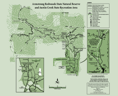
Armstrong Redwoods State Natural Reserve Map and...
Park map of Armstrong Redwoods State Natural Reserve and Austin Creek State Recreation Area in...
799 miles away
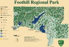
Foothill Regional Park Map
Park map of Foothill Regional Park in Sonoma County, California. Shows trails and 3 lakes.
799 miles away

Greater Lake Berryessa Region Tourist Map
Tourist map of the Lake Berryessa region in Napa, California
799 miles away
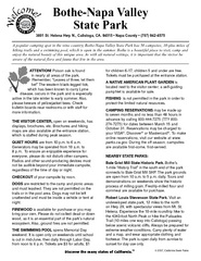
Bothe-Napa Valley State Park Map
Map of park with detail of of trails and recreation zones
800 miles away
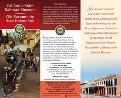
California Railroad Museum Map
Map of historic museum
801 miles away
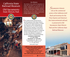
Old Sacramento State Historic Park Map
Map of park and museum with detail of trails and recreation zones
801 miles away
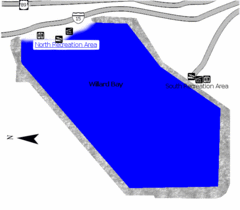
Willard Bay State Park Map
Boat, swim, waterski, and fish on the warm waters of Willard Bay. Camp under tall cottonwood trees...
801 miles away
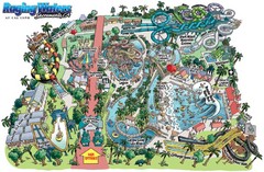
Raging Waters Sacramento Map
Fun and amusing water park for the whole family!
801 miles away
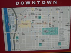
Downtown Sacramento City Map
City map of downtown Sacramento, California. From 2007 photo.
801 miles away
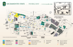
California State University at Sacramento Map
California State University at Sacramento Campus Map. All buildings shown.
801 miles away
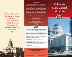
California State Capitol Museum Map
Map of museum and park
801 miles away
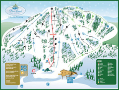
Pine Creek Ski Area Ski Trail Map
Trail map from Pine Creek Ski Area.
801 miles away

Downtown Sacramento, California Map
Tourist map of Downtown Sacramento, California. Museums, lodging, shopping and other attractions...
801 miles away
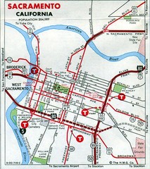
Sacramento, California City Map
801 miles away
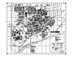
University of California at Davis Map
Campus Map of the University of California at Davis. All buildings shown.
802 miles away
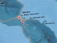
Map of Haines, Alaska
A map of Haines and the surrounding areas.
802 miles away

Map of Canada Circa 1900
802 miles away
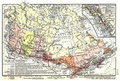
1911 Map of Canada and Newfoundland by Shepherd
This map was from the beautiful 1911 Historical Atlas by William R. Shepherd. Enjoy it!
802 miles away
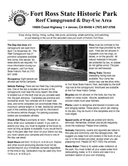
Fort Ross State Historic Park Campground Map
Map of park with detail of trails and recreation zones
802 miles away
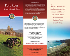
Fort Ross State Historic Park Map
Map of park with detail of trails and recreation zones
802 miles away
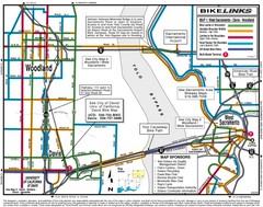
Davis, California BIke Map
802 miles away
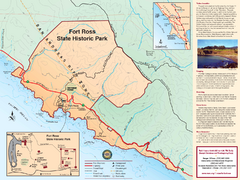
Fort Ross State Historic Park Map
Map of park with detail of trails and recreation zones
802 miles away
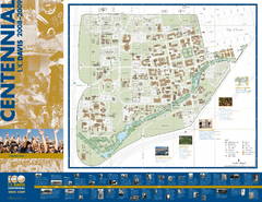
University of California Davis Campus Map
Campus map of UC Davis in Davis, California. Shows all buildings.
803 miles away
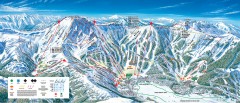
Kirkwood Ski Trail map 2006-07
Official ski trail map of Kirkwood ski area for the 2006-2007 season.
803 miles away
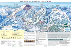
Kirkwood Ski Trail Map
Trail map from Kirkwood, which provides downhill, nordic, and terrain park skiing. It has 14 lifts...
803 miles away
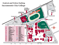
Sacramento City College Campus Map
Sacramento City Campus Map. All buildings shown.
804 miles away
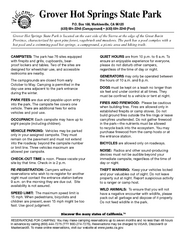
Grover Hot Springs State Park Campground Map
Map of park with detail of trails and recreation zones
804 miles away
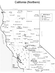
Northern California Airports Map
805 miles away
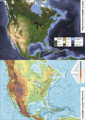
North America Satellite Relief Pair Map
A satellite image of North America twinned with a relief (or physical) representation of the same...
805 miles away
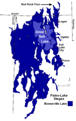
Lake Bonneville Levels Map
805 miles away
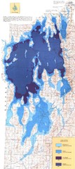
Ancient Lake Bonneville Map
805 miles away
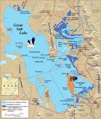
Great Salt Lake Map
806 miles away
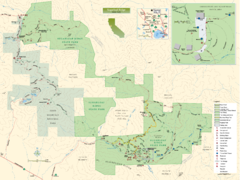
Sugarloaf Ridge State Park Map
Trail map of Sugarloaf Ridge State Park
807 miles away
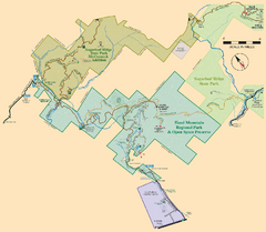
Hood Mountain Regional Park Map and Sugarloaf...
Park map of Hood Mountain Regional Park and Open Space Preserve and Sugarloaf Ridge State Park in...
807 miles away

Utah mountain resorts Map
807 miles away
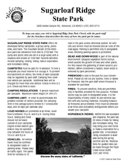
Sugarloaf Ridge State Park Campground Map
Map of park with detail of trails and recreation zones
808 miles away

