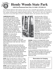
Hendy Woods State Park Campground Map
Map of campground region park with detail of trails and recreation zones
764 miles away
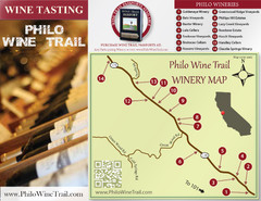
Philo Wine Map
Shows wineries great for wine tasting in the Anderson Valley along Route 128 in Philo California.
765 miles away
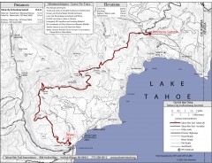
Tahoe Rim Trail: Tahoe City to Brockway Summit Map
Topographic hiking map of the Tahoe City-Brockway Summit leg of the Tahoe Rim Trail. Shows trail...
765 miles away
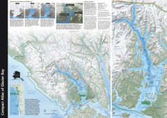
Glacier Bay National Park Map
Map of Glacier Bay National Park includes historical information about the bay as well as a...
766 miles away
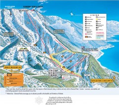
Diamond Peak Ski Trail Map
Official ski trail map of Diamond Peak ski area from the 2007-2008 season.
766 miles away
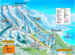
Diamond Peak Ski Trail Map
Trail map from Diamond Peak.
766 miles away
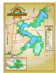
Lahontan State Recreation Area Map
Overview map of Lahontan State Recreation Area. Shows Lahontan Reservoir formed by Lahontan Dam...
766 miles away
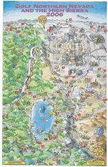
Reno and Lake Tahoe Area Golf map
Illustrated map showing all golf courses in the Reno/lake Tahoe area, 2006 version. To view more...
766 miles away
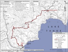
Tahoe Rim Trail Map
767 miles away
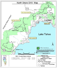
North Shore Lake Tahoe Off-Highway Vehicle Map
Off-highway vehicle map of the area around the North shore of Lake Tahoe. Roads open to motorcycles...
767 miles away
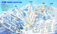
Squaw Valley USA Trail Map
Trail map of Squaw Valley ski area in Lake Tahoe, California
767 miles away
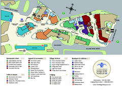
Squaw Valley Base Village Map
Village map of base of Squaw Valley Ski Resort, Lake Tahoe, California. Shows all restaurants...
767 miles away
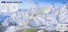
Squaw Valley USA Ski Trail Map
Trail map from Squaw Valley USA, which provides downhill, night, nordic, and terrain park skiing...
767 miles away
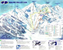
Squaw Valley Ski Trail Map
Scan of ski trail map of Squaw Valley ski area from the 2000-2001 season.
767 miles away
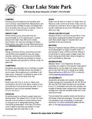
Clear Lake State Park Campground Map
Map of park with detail of trails and recreation zones
768 miles away
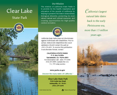
Clear Lake State Park Map
Map of park with detail of trails and recreation zones
768 miles away
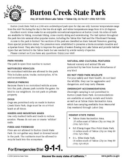
Burton Creek State Park Map
Map of park with detail of trails and recreation zones
769 miles away
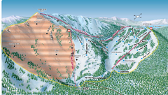
Alpine Meadows Ski Area Backside Ski Trail Map
Trail map from Alpine Meadows Ski Area, which provides downhill and terrain park skiing. It has 13...
769 miles away
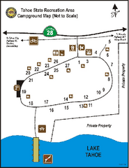
Tahoe State Recreation Area Campground Map
Map of park with detail of trails and recreation zones
769 miles away

Granite Chief Wilderness Map
Trail map of Granite Chief Wilderness in Lake Tahoe region. Shows trails (inlcuding Pacific Crest...
769 miles away
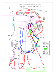
Moose Jaw Cross Country Ski Trail Map
Cross country ski trails around city of Moose Jaw, Saskatchewan, Canada. Shows green, red, and...
769 miles away
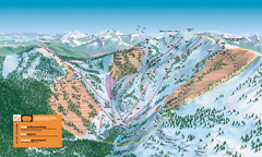
Alpine Meadows Ski Trail Map (Front)
Official ski trail map of Alpine Meadows ski area from the 2005-2006 season.
770 miles away
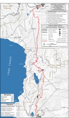
Tahoe Rim Trail: Tahoe Meadows to Spooner Summit...
Topographic hiking map of the Tahoe Meadows-Spooner Summit leg of the Tahoe Rim Trail. Shows bike...
771 miles away
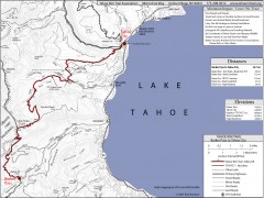
Tahoe Rim Trail: Barker Pass to Tahoe City Map
Topographic hiking map of the Barker Pass-Tahoe City leg of the Tahoe Rim Trail. Shows trailheads...
771 miles away

Golden Spike National Monument Map
772 miles away

Carson River Aquatic Trail Map
772 miles away
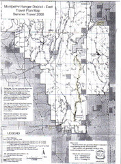
Montpelier Ranger District East Map
Map for Summer Encampment trip to Montpelier, Wyoming for Idaho Company, American Long Rifle...
773 miles away
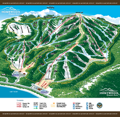
Homewood Mountain Resort Ski Trail Map
Trail map from Homewood Mountain Resort, which provides downhill and terrain park skiing. It has 7...
775 miles away

Digital Elevation Model Satellite Tahoe Map
Digital Elevation Models
775 miles away
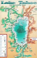
Lake Tahoe and nearby activities Map
Lake Tahoe and nearby resorts and activities
775 miles away
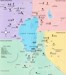
Lake Tahoe Area, California Map
Recreation map of Lake Tahoe, California. Points of interest shown include golfing, skiing, and...
775 miles away
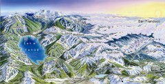
Lake Tahoe Ski Resort map
Winter map of Lake Tahoe showing relative position of all ski resorts. South-facing view. Created...
775 miles away
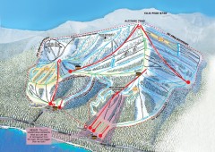
Homewood Ski Trail Map
Official ski trail map of Homewood ski area from the 2007-2008 season.
775 miles away
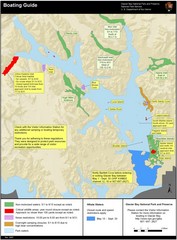
Boating on Glacier Bay National Park Guide Map
776 miles away
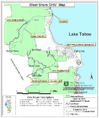
West Shore Lake Tahoe Off-highway Vehicle Map
Off-highway vehicle map of the West Shore of Lake Tahoe. Roads open to motorcycles, ATVs, and 4x4s...
776 miles away
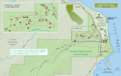
Sugar Pine Point State Park North Map
Map of northern region of park with detail of trails and recreation zones
778 miles away
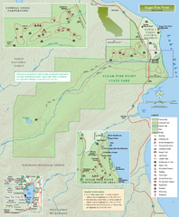
Sugar Pine Point State Park Map
Map of park with detail of trails and recreation zones
778 miles away
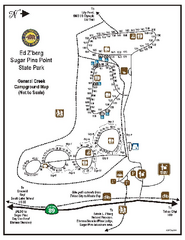
Sugar Pine Point State Park Campground Map
Map of campground region of park with detail of trails and recreation zones
778 miles away

Sugar Pine Point State Park South Map
Map of southern region of park with detail of trails and recreation zones
778 miles away
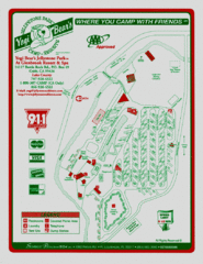
Jellystone Park at Glebrook Resort & Spa Map
779 miles away

