Caribou-Targhee Park map
748 miles away

Reno Tahoe Tourist Map
748 miles away

Reno, Nevada City Map
748 miles away
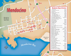
Mendocino Tourist Map
Tourist map of town of Mendocino, California. Shows shops and services.
749 miles away
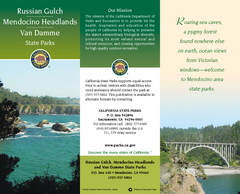
Mendocino Headlands State Parks Map
Map of parks with detail of trails and recreation zones
749 miles away

Downtown Reno, Nevada Map
Tourist map of Reno, Nevada. Event and convention centers, visitor's center, parks, and other...
749 miles away
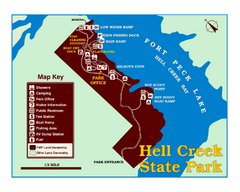
Hell Creek State Park Map
You’ll reach this campground park, 25 miles north of Jordan, through the spectacular scenery...
749 miles away
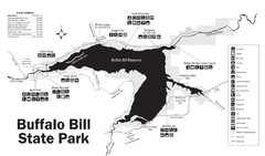
Buffalo Bill State Park Map
750 miles away
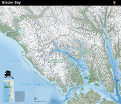
Glacier Bay National Park Map
Map of Glacier Bay National Park includes terrain map of the park and a small map that shows the...
750 miles away

Van Damme State Park Map
Park map of Van Damme State Park near Mendocino, California. Show Fern Valley Trail through...
751 miles away
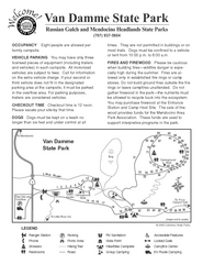
Van Damme State Park Campground Map
Map of campground region of park with detail of trails and recreation zones
751 miles away
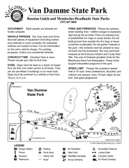
Van Damme State Park Campground Map
Map of campground region of park with detail of trails and recreation zones
751 miles away
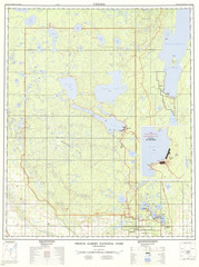
Prince Albert National Park Topo Map
Topographical map of Prince Albert National Park in Saskatchewan, Canada. From atlas.nrcan.gc.ca...
753 miles away
South Yuba River State Park Map
Map of park with detail of trails and recreation zones
753 miles away
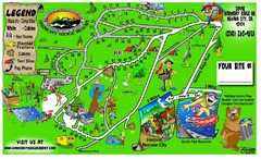
Harmony Ridge Resort Map
755 miles away

Tahoe Donner Ski Trail Map
Trail map from Tahoe Donner, which provides downhill, night, and nordic skiing. It has 3 lifts...
756 miles away
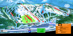
Boreal Mountain Resort Ski Trail Map
Trail map from Boreal Mountain Resort, which provides downhill, night, and terrain park skiing. It...
756 miles away
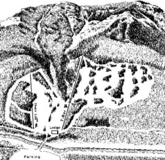
Sleeping Giant Ski Area Ski Trail Map
Trail map from Sleeping Giant Ski Area.
756 miles away
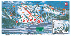
Boreal Ski Trail Map
Official ski trail map of Boreal ski area
756 miles away
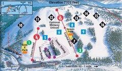
Soda Springs Ski Trail Map
Trail map from Soda Springs, which provides downhill and terrain park skiing. It has 2 lifts...
757 miles away
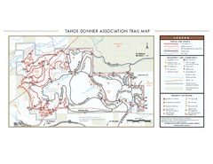
Tahoe Donner Ski Trail Map
Official ski trail map of Tahoe Donner Association. Shows both downhill and cross-country ski...
757 miles away
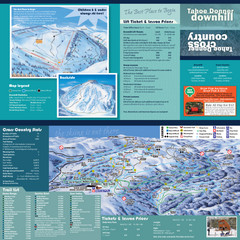
Tahoe Donner Cross Country Ski Trail Map
Ski trail map of Tahoe Donner Association. Shows both downhill and cross-country ski trails...
757 miles away
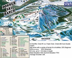
Donner Ski Ranch Ski Trail Map
Trail map from Donner Ski Ranch, which provides downhill and terrain park skiing. It has 6 lifts...
757 miles away
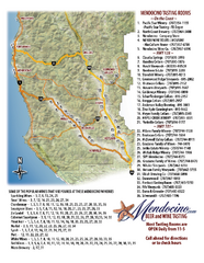
Mendocino Beer and Wine Tasting Map
Beer and wine tasting map of Mendocino county, California. Show breweries and wineries on the...
758 miles away
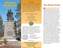
Donner Memorial State Park Map
Map of park with detail of trails and recreation zones
758 miles away
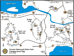
Donner Memorial State Park Campground Map
Map of park with detail of trails and recreation zones
758 miles away
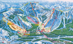
Sugar Bowl Resort Ski Trail Map
Trail map from Sugar Bowl Resort, which provides downhill and terrain park skiing. It has 12 lifts...
759 miles away
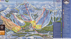
Sugar Bowl Ski Trail Map
Ski trail map of Sugar Bowl ski area from the 2008-09 season. Scanned.
759 miles away
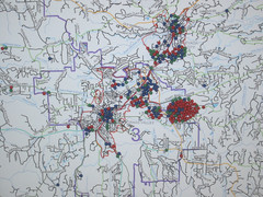
Nevada County Economic Resource Council Activity...
The ERC supports many different businesses in western Nevada County. We provide business assistance...
759 miles away
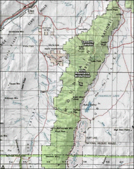
Ruby Mountains Wilderness Map
Overview map of Ruby Mountains Wilderness and Lamoille Canyon
759 miles away
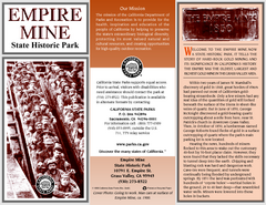
Empire Mine State Historic Park Map
Map of park with detail of trails and recreation zones
760 miles away
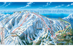
Mt. Rose Ski Tahoe Ski Trail Map
Trail map from Mt. Rose Ski Tahoe.
761 miles away
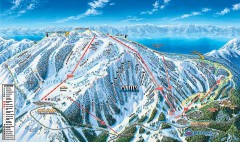
Mt. Rose Ski Trail Map
Official ski trail map of Mt. Rose ski area
761 miles away
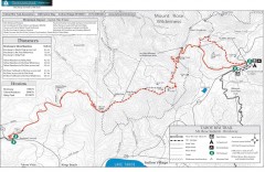
Tahoe Rim Trail: Brockway Summit to Tahoe Meadows...
Trail map of the Brockway Summit-Tahoe Meadows leg of the Tahoe Rim Trail. Bike trails, hiking...
763 miles away
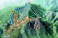
Northstar Ski Trail Map
Official ski trail map of Northstar-at-Tahoe ski area from the 2007-2008 season.
764 miles away
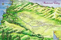
Anderson Valley Wine Map
Shows wineries/vineyards in Anderson Valley, California along Route 128 from Navarro, California to...
764 miles away
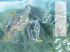
Northstar-at-Tahoe Ski Trail Map
Official trail map of Northstar-at-Tahoe ski area from the 2009-2010 season
764 miles away
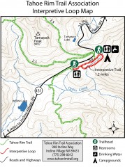
Tahoe Rim Trail: Interpretive Loop, Lake Tahoe...
Trail map of the Tahoe Rim Trail's Interpretive Loop Trail. Shows both trails, camping...
764 miles away
Hendy Woods State Park Map
Map of park with detail of trails and recreation zones
764 miles away
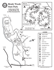
Hendy Woods State Park Map
Park map of Hendy Woods State Park in Philo, California. Shows trails, campgrounds, and other...
764 miles away

