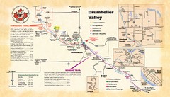
Drumheller Valley Tourist Map
Tourist map shows trails and points of interest of area around Drumheller, Alberta.
457 miles away
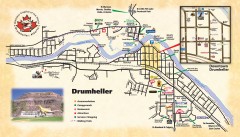
Drumheller Tourist Map
Tourist map of Drumheller, Alberta. Shows accommodations, campgrounds, restaurants, attractions...
457 miles away
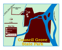
Council Grove State Park Map
Clearly marked map.
459 miles away
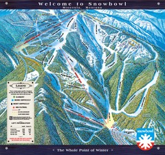
Montana Snowbowl Ski Trail Map
Trail map from Montana Snowbowl.
462 miles away
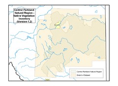
Aspen Parkland Natural Region Map
Map of area defined in the current vegetation / land use database for the Aspen Parkland Natural...
463 miles away
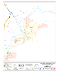
Oakland Oregon Road Map
463 miles away
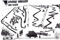
Snow Valley Ski Club ? Ski Trail Map
Trail map from Snow Valley Ski Club, which provides downhill skiing. This ski area has its own...
464 miles away
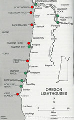
Lighthouses of the Oregon Coast Map
lighthouses (active, inactive, and destroyed) on the coast of Oregon (and the Columbia River)
465 miles away

Missoula, Montana City Map
467 miles away
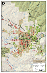
Missoula Bike Trails Map
Road and Mt. Bike trails with a bit of topology near Missoua
467 miles away

Missoula Trail System Map
Basic Map of Hike/Bike/Run Trail system for Missoula MT
467 miles away
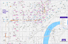
Edmonton Center Transportation Map
Bus and light rail public transportation map of center of Edmonton, Alberta, Canada.
468 miles away
Edmonton, Alberta Tourist Map
468 miles away
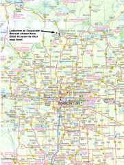
Edmonton, Alberta Tourist Map
468 miles away
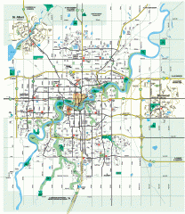
Edmonton Map
City street map of the metro Edmonton area in Alberta.
468 miles away
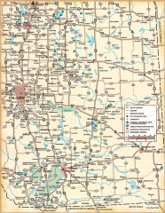
Southern Alberta Map
Shows highways, cities and towns, national/provincial parks and recreation areas, UNESCO World...
469 miles away
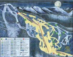
Marshall Mountain Ski Trail Map
Trail map from Marshall Mountain.
469 miles away
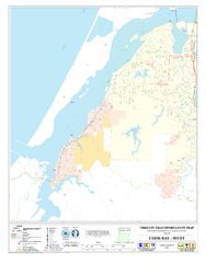
West Coos Bay Oregon Road Map
470 miles away
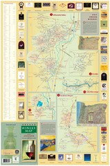
Oregon Winery Map / Local Side
471 miles away
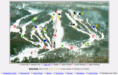
Whispering Pines Ski Trail Map
Trail map from Whispering Pines, which provides downhill and nordic skiing. This ski area has its...
472 miles away
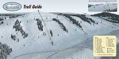
Sunridge Ski Area Ski Trail Map
Trail map from Sunridge Ski Area, which provides downhill skiing. This ski area has its own website.
473 miles away
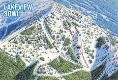
Brundage Mountain Resort Lakeview Bowl Ski Trail...
Trail map from Brundage Mountain Resort, which provides downhill and terrain park skiing. It has 5...
474 miles away
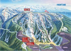
Brundage Mountain Resort Frontside Ski Trail Map
Trail map from Brundage Mountain Resort, which provides downhill and terrain park skiing. It has 5...
474 miles away
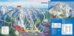
Brundage Ski Trail Map
Official ski trail map of Brundage ski area from the 2007-2008 season.
475 miles away
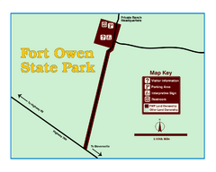
Fort Owen State Park Map
Fort Owen’s adobe and log remains preserves the site of the first permanent white settlement...
477 miles away
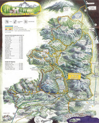
Diamond Lake Tourist Map
482 miles away
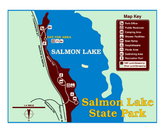
Salmon Lake State Park Map
Immediately adjacent to Montana 83, this park is an access point to one of the beautiful lakes in...
484 miles away
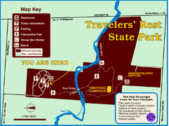
Travelers' Rest State Park Map
The Lewis and Clark expedition camped here twice during their historic journey to locate the...
490 miles away
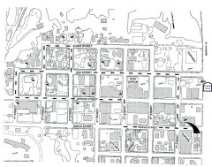
Myrtle Point walking tour Map
Walking tour map of the Historic homes of Myrtle Point in the Coquille Valley of Oregon.
491 miles away
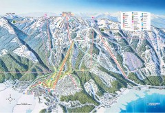
Tamarack Ski Trail Map
Official ski trail map of Tamarack ski area from the 2007-2008 season.
493 miles away
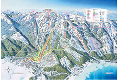
Tamarack Resort Ski Trail Map
Trail map from Tamarack Resort, which provides downhill, nordic, and terrain park skiing. It has 7...
493 miles away
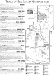
Elk Island National Park Trail Map
Map of hiking trails of Elk Island National Park, Alberta
494 miles away
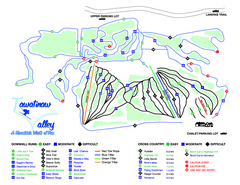
Tawatinaw Valley Ski Trail Map
Trail map from Tawatinaw Valley, which provides downhill and nordic skiing. This ski area has its...
495 miles away
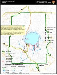
Crater Lake National Park Map
497 miles away
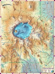
Crater Lake National Park map
Great map of Crater Lake National Park shows all trails, viewpoints, mountains, roads, campgrounds...
498 miles away
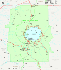
Crater Lake National Park official map
Official map of Crater Lake National Park. Shows hiking trails, elevations of peaks, roads, and...
498 miles away
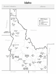
Idaho Airports Map
499 miles away
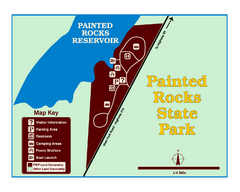
Painted Rocks State Park Map
Located in the scenic Bitterroot Mountains, this 23-acre park offers boating and water sport...
504 miles away
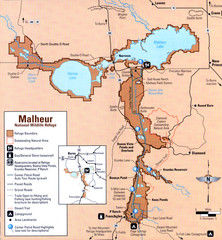
Malheur National Wildlife Refuge Map
Detailed Map of the Malheur Wildlife Refuge in Oregon showing places of interest, roads and...
513 miles away

