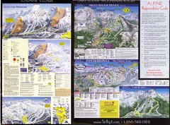
2007–08 2007–08 Ski Big 3 Side 2 (Lake Louise...
Trail map from Lake Louise, which provides downhill skiing. This ski area has its own website.
311 miles away
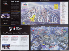
Lake Louise 2007–08 Ski Big 3 Side 1 (3...
Trail map from Lake Louise, which provides downhill skiing. This ski area has its own website.
311 miles away
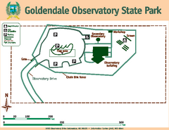
Goldendale State Park Map
Map of park with detail of trails and recreation zones
312 miles away

Schweitzer Mountain Trail Map
Map of ski trails
312 miles away
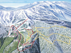
Schweitzer Mountain Trail Map
Ski trail map of Schweitzer Mountin
312 miles away
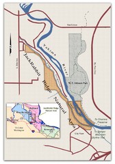
JackRabbit Ridge Natural Area Map
Shows urban wildlands
312 miles away
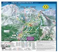
Lake Louise Ski Trail map - Front side/south face...
Official ski trail map of the front side/south face of Lake Louise ski area from the 2005-2006...
312 miles away
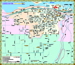
Hood River Map
Tourist map of city of Hood River, Oregon.
313 miles away
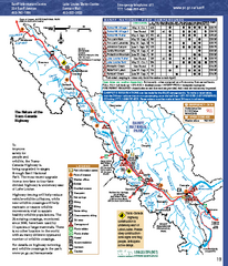
Banff National Park map
Official Parks Canada map of Banff National Park. Birthplace of Canada's national park system...
313 miles away
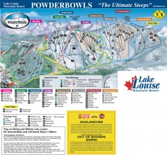
Lake Louise Ski Trail map - Ptarmigan/Paradise...
Official ski trail map of the Ptarmigan/Paradise/Back Bowls of Lake Louise ski area from the 2005...
313 miles away
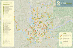
Bi-State Regional Trail System Plan Map
Shows plan for developing 37 Bi-State Regional Trails
314 miles away
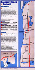
Rockaway Beach Map
315 miles away
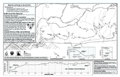
Forest Park Mountain Biking Map
Forest Park now includes over 5,100 wooded acres making it the largest, forested natural area...
315 miles away
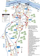
Hood River County Fruit Loop map
35-mile scenic drive through the valley's orchards, forests, farmlands, and friendly...
315 miles away
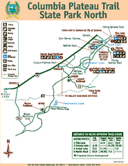
Columbia Plateau Trail State Park North Map
Map of park with detail of trails and recreation zones
315 miles away
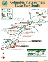
Columbia Plateau Trail State Park South Map
Map of park with detail of trails and recreation zones
315 miles away
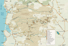
Tillamook State Forest Map
Recreation map of Tillamook State Forest. Over 60 miles of non-motorized trails and 150 miles of...
315 miles away

Sandpoint City Map
Street map of downtown Sandpoint
316 miles away
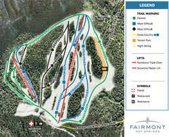
Fairmont Hot Springs Resort Ski Trail Map
Trail map from Fairmont Hot Springs Resort.
316 miles away

Maywood Park Oregon Road Map
316 miles away
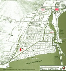
Map of Sandpoint, Idaho
Map of the entire town of Sandpoint including all streets, highways and other information.
316 miles away
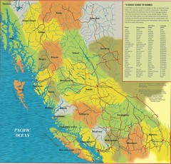
First Nations Peoples of British Columbia Map
"The boundaries between territories are deliberately shown as blending into one another, in...
316 miles away
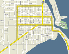
Sandpoint City Beach Map
Downtown Sandpoint Map.
316 miles away
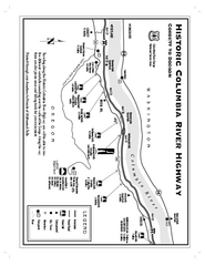
Historic Columbia River Highway Map
Official map from the US Forest Service. Shows the Corbett to Dodson stretch of Highway 30 with...
316 miles away
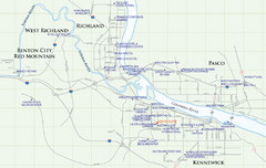
Kennewick Hotel Map
317 miles away
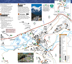
Banff National Park Map
Map of park with detail of trails and recreation zones
317 miles away
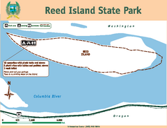
Reed Island State Park Map
Map of park with detail of trails and recreation zones
317 miles away
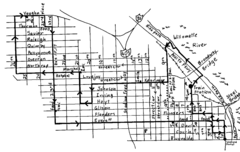
Pearl District Walking Map, Portland Oregon Map
Walk through the Pearl District, along the Willamette River and up to 23rd Street. Detour to the...
317 miles away
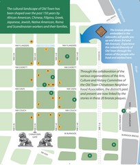
Old Town-China Town Map
Portland's oldest neighborhoods and history are easily seen in Old Town-China Town.
318 miles away
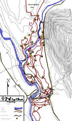
Nipika Ski Trail Map
Trail map from Nipika, which provides nordic skiing. This ski area has its own website.
318 miles away
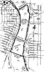
Portland Oregon downtown walk Map
Walk from the Amtrak Station to the Oregon Museum of Science and Industry. 4 miles round trip...
318 miles away
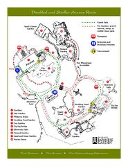
Portland Japanese Garden Map
So Far My favorite Japanese Garden
318 miles away
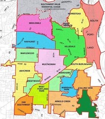
Portland, Oregon Neighborhood Map
318 miles away
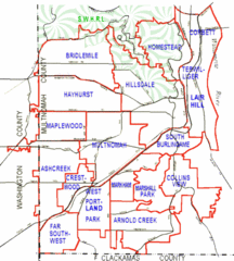
Portland, Oregon Neighborhood Map
318 miles away
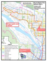
Portland, Oregon Bike Map
318 miles away
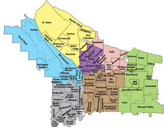
Portland, Oregon Neighborhood Map
318 miles away
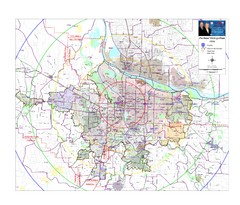
Portland, Oregon Tourist Map
318 miles away
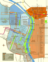
Central Portland, Oregon Map
Tourist map of Portland, Oregon. Shows museums, sports arenas, parks, and public transportation.
318 miles away
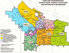
Portland Neighborhood Map
Shows neighborhood associations of Portland, Oregon.
318 miles away


