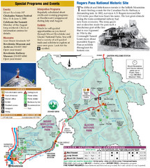
Glacier National Park and Revelstoke National...
Official park map of Glacier National Park and Revelstoke National Park in British Columbia, Canada.
242 miles away
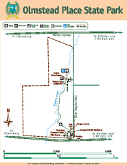
Olmstead Place State Park Map
Map of park with detail of trails and recreation zones
245 miles away
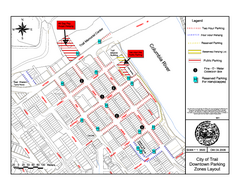
City of Trail Downtown Parking Map
Parking map of downtown Trail, British Columbia
245 miles away

City of Trail BC Map
Map of city of Trail, BC on the Columbia River
246 miles away
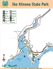
Ike Kinswa State Park Map
Map of park with detail of trails and recreation zones
246 miles away
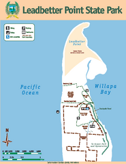
Leadbetter Point State Park Map
Map of park with detail of recreation zones and trails
248 miles away
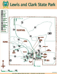
Lewis and Clark State Park Map
Map of park with detail of recreation zones and trails
248 miles away
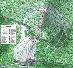
White Pass Ski Area Ski Trail Map
Trail map from White Pass Ski Area, which provides downhill, nordic, and terrain park skiing. It...
251 miles away
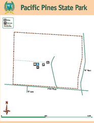
Pacific Pines State Park Map
Map of park with detail of trails and recreation zones
255 miles away
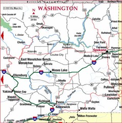
Eastern Washington Road Map
255 miles away
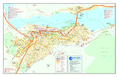
Nelson BC Town Map
257 miles away
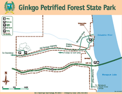
Ginkgo Petrified Forest State Park Map
Map of park with detail of trails and recreation zones
257 miles away
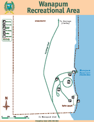
Wanapum Recreational Area Map
Map of park with detail of trails and recreation zones
260 miles away
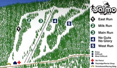
Salmo Ski Area Ski Trail Map
Trail map from Salmo Ski Area, which provides downhill skiing. This ski area has its own website.
261 miles away
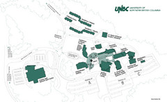
University of Northern British Columbia Campus Map
Campus map of UNBC in Prince George, British Columbia
261 miles away
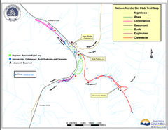
Nelson Nordic Ski Trail Map
Trail map from Nelson Nordic, which provides night and nordic skiing. This ski area has its own...
261 miles away
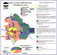
Prince George LRMP Resource Management Zone Map
Prince George Land and Resource Management Plan, color coded by land use.
263 miles away
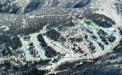
Whitewater Ski Resort Silver King Ski Trail Map
Trail map from Whitewater Ski Resort.
263 miles away
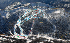
Whitewater Ski Resort Summit Ski Trail Map
Trail map from Whitewater Ski Resort.
263 miles away
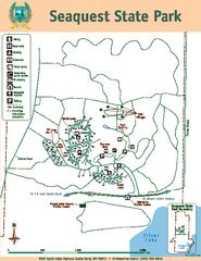
Seaquest State Park Map
Map of park with detail of trails and recreation zones
264 miles away
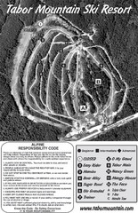
Tabor Mountain 2005–08 Tabor Downhill Map
Trail map from Tabor Mountain.
266 miles away
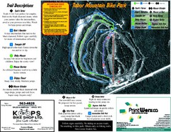
Tabor Mountain 2005–07 Tabor Summer Map
Trail map from Tabor Mountain.
266 miles away
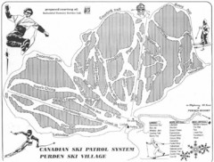
Purden Ski Village Ski Trail Map
Trail map from Purden Ski Village.
266 miles away
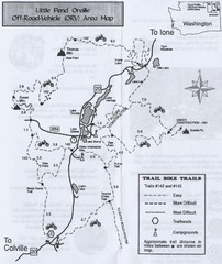
Little Pend Oreille Off Road Vehicle (ORV) Area...
Map of the Off Road Vehicle Area in Little Pend Oreille, Washington. Includes all bike trails...
266 miles away
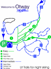
Otway Nordic Centre (Caledonia) Night lit Ski...
Trail map from Otway Nordic Centre (Caledonia), which provides night and nordic skiing. This ski...
267 miles away
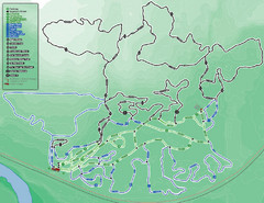
Otway Nordic Centre (Caledonia) Ski Trail Map
Trail map from Otway Nordic Centre (Caledonia), which provides night and nordic skiing. This ski...
267 miles away

Yakima, Washington City Map
268 miles away
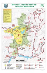
Mt. Saint Helens National Volcanic Monument...
Official recreation map showing all roads, trails, campgrounds, and other facilities. Also shows...
269 miles away
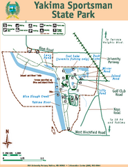
Yakima Sportsman State Park Map
Map of park with detail of trails and recreation zones
269 miles away
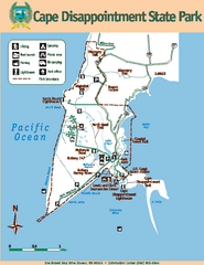
Cape Dissapointment State Park Map
Map of park with detail of trails and recreation zones
270 miles away
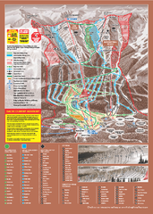
Kicking Horse Ski Trail Map 2009-10
Ski trail map of Kicking Horse ski area for the 2009-2010 season. Features 3 alpine bowls and 70...
270 miles away
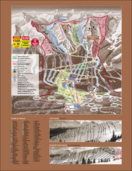
Kicking Horse Ski Trail Map 2007-08
Official ski trail map of Kicking Horse ski area from the 2007-2008 season.
271 miles away
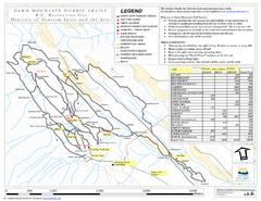
Dawn Mountain Nordic Ski Trail Map
Trail map from Dawn Mountain Nordic.
271 miles away
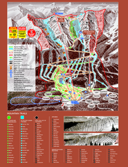
Kicking Horse Resort Ski Trail Map 2008-2009
Trail map from Kicking Horse Resort, which provides downhill and nordic skiing. This ski area has...
271 miles away
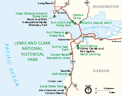
Lewis & Clark National Historic Trail...
Official NPS map of Lewis & Clark National Historic Trail in Oregon-Washington. Shows all areas...
272 miles away
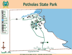
Potholes State Park Map
Map of park with detail of trails and recreation zones
272 miles away
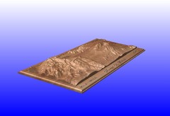
Mount St. Helens carved in wood by carvedmaps.com...
Mount St. Helens carved in wood by carvedmaps.com
273 miles away
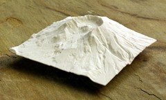
Mt. St. Helens 3D Print Map
This is a 3D-printed map of the cone, crater, and summit of Mt. St. Helens in Washington, USA. It...
273 miles away
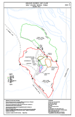
2004–06 Golden Golf Course Trail Map
Trail map from Golden Golf Course.
274 miles away
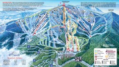
49 Degrees North Ski Trail Map
Official ski trail map of ski area from the 2007-2008 season.
274 miles away

