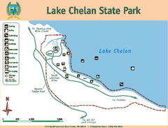
Lake Chelan State Park Map
Map of island with detail of trails and recreation zones
199 miles away
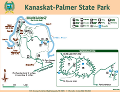
Kanaskat-Palmer State Park Map
Map of park with detail of trails and recreation zones
199 miles away
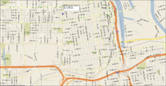
Tacoma, Washington City Map
200 miles away
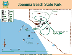
Joemma Beach State Park Map
Map of park with detail of trails and recreation zones
200 miles away
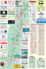
Milton tourist map
Tourist map of Milton, Washington. Shows all businesses.
200 miles away

Stanley, British Columbia Map
200 miles away
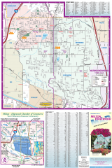
Milton and Edgewood tourist map
Tourist map of Milton and Edgewood, Washington. Shows all businesses.
200 miles away
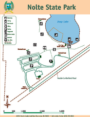
Nolte State Park Map
Map of park with detail of trails and recreation zones
202 miles away
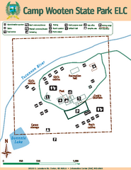
Camp Wooten State Park Map
Map of park with detail of trails and recreation zones
204 miles away
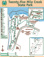
Twenty-Five Mile Creek State Park Map
Map of park with detail of trails and recreation zones
204 miles away
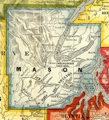
Mason County Washington, 1909 Map
206 miles away
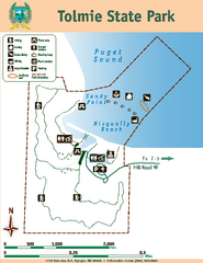
Tolmie State Park Map
Map of park with detail of trails and recreation zones
207 miles away

Phoenix Mountain Ski Trail Map
Trail map from Phoenix Mountain.
208 miles away
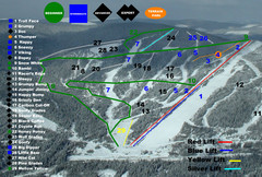
2004–07 Troll Downhill Map
Trail map from Troll. This ski area opened in 1972.
209 miles away
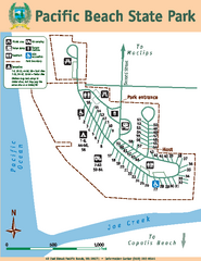
Pacific Beach State Park Map
Map of park with detail of trails and recreation zones
209 miles away
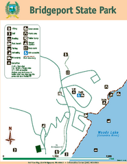
Bridgeport State Park Map
Map of park with detail of trails and recreation zones
210 miles away
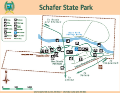
Schafer State Park Map
Map of park with detail of trails and recreation zones
210 miles away
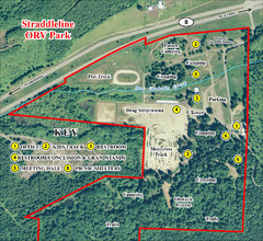
Grays Harbor County Straddleline ORV Park...
Park Map near Olympia
212 miles away

Olympia Map
Map of downtown Olympia's parking and shuttle routes.
212 miles away
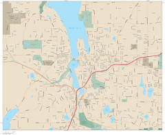
Olympia, Washington City Map
212 miles away
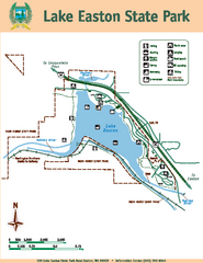
Lake Easton State Park Map
Map of island with detail of trails and recreation zones
214 miles away
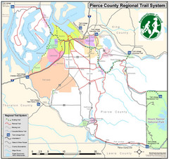
Pierce County Regional Trail Map
County-wide system of trails
214 miles away
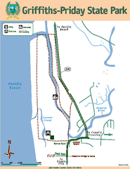
Griffiths-Priday State Park Map
Griffiths-Priday State Park
214 miles away
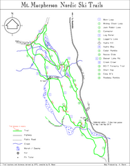
Mt Macpherson Nordic Ski Trail map
Nordic ski trail map of Mt Macpherson area near Revelstoke, BC. Shows trail names and distances in...
215 miles away
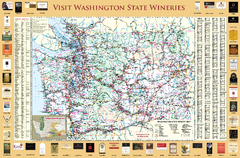
Washington State Winery Map
Washington State Winery Map
215 miles away
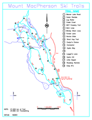
Revelstoke Nordic—Mount MacPherson Nordic Ski...
Trail map from Revelstoke Nordic—Mount MacPherson, which provides nordic skiing. This ski area...
216 miles away
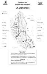
Mt. Macpherson Mountain Bike Trail Map
Mountain bike trail maps of Mt. Macpherson area and Mt. Mackenzie area right out of the town of...
217 miles away
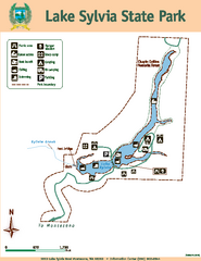
Lake Sylvia State Park Map
Map of island with detail of trails and recreation zones
217 miles away

Revelstoke City Map
Overview map of Revelstoke, BC. Shows Points of Interest and activity icons
218 miles away
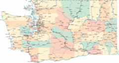
Washington Road Map
Road map of state of Washington
218 miles away
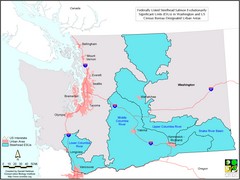
Washington Steelhead Salmon Map
Shows federally listed steelhead salmon evolutionarily significant units in Washington state.
218 miles away
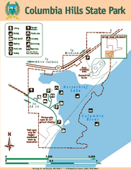
Columbia Hills State Park Map
Map of park with detail of trails and recreation zones
219 miles away
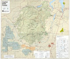
Capitol State Forest Map
219 miles away
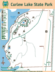
Curlew Lake State Park Map
Map of park with detail of trails and recreation zones
219 miles away
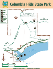
Columbia Hills State Park Map
Map of park with detail of trails and recreation zones
219 miles away
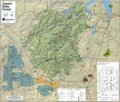
Capitol State Forest Map
Shows all trails in Capitol State Forest and surrounding area, including Lower Chehalis State...
220 miles away
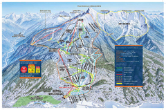
Revelstoke Ski Trail Map - Front side
Ski trail map of front side of Revelstoke ski area in Revelstoke, Canada from the 2008-2009 season.
220 miles away
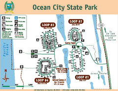
Ocean City State Park Map
Map of park with detail of trails and recreation zones
220 miles away
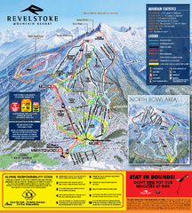
Revelstoke Ski Trail Map 2010-11
Ski trail map of Revelstoke Mountain Resort for the 2010-2011 season. Inset shows North Bowl area.
220 miles away
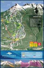
Revelstoke Ski Trail Map
Official ski trail map of Revelstoke ski area from the inaugural 2007-2008 season.
221 miles away

