Crater Lake National Park Map
493 miles away
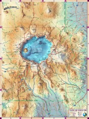
Crater Lake National Park map
Great map of Crater Lake National Park shows all trails, viewpoints, mountains, roads, campgrounds...
494 miles away
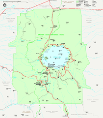
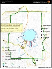
Crater Lake National Park official map
Official map of Crater Lake National Park. Shows hiking trails, elevations of peaks, roads, and...
494 miles away
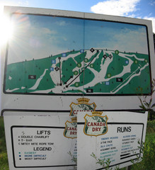
Silver Summit Ski Trail Map
Trail map from Silver Summit, which provides downhill and nordic skiing. This ski area has its own...
496 miles away
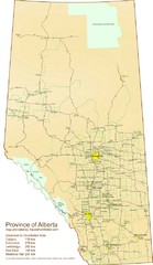
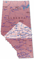
Alberta Tourist Map
Cities and areas in Alberta, Canada
497 miles away
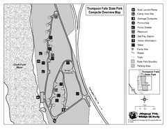
Thompson Falls State Park Map
This shaded, quiet campground is located on the Clark Fork River near the town of Thompson Falls in...
499 miles away
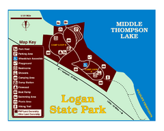
Logan State Park Map
With frontage on the north shore of Middle Thompson Lake, Logan is heavily forested with western...
501 miles away
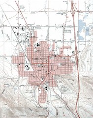
Baker City, Oregeon Tourist Map
503 miles away
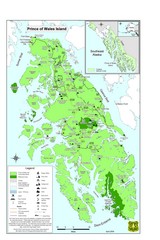
Prince of Wales Island Map
Overview map of Prince of Wales Island, Alaska. Shows wilderness areas.
503 miles away
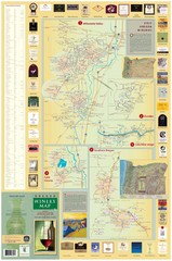
Oregon Winery Map / Local Side
504 miles away
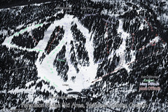
Ferguson Ridge Ski Trail Map
Trail map from Ferguson Ridge.
506 miles away
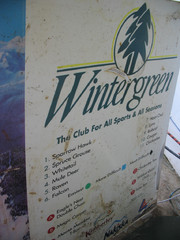
2001 Wintergreen Downhill Map Part 2
Trail map from Wintergreen.
507 miles away
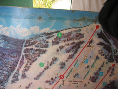
2001 Wintergreen Downhill Map Part 1
Trail map from Wintergreen.
507 miles away
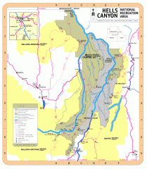
Hells Canyon National Recreation Area Map
Official Forest Service map of the Hells Canyon National Recreation Area. Shows roads, trails...
507 miles away
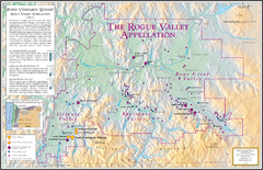
Oregon Rogue Valley wineries Map
Southern Oregon's Rogue Valley wineries
510 miles away
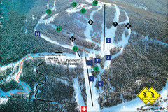
Pass Powderkeg Ski Trail Map
Trail map from Pass Powderkeg, which provides downhill skiing. This ski area has its own website.
511 miles away

Edmonton, Alberta Tourist Map
Edmonton, Alberta and the area west of it
513 miles away
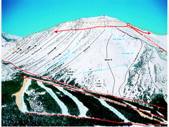
Castle Mountain Resort Ski Trail Map
Trail map from Castle Mountain Resort, which provides downhill skiing. This ski area has its own...
514 miles away
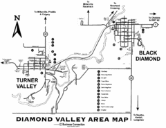
Diamond Valley Area Map
Map of Diamond Valley are, with Turner Valley & Black Diamond oil towns
519 miles away
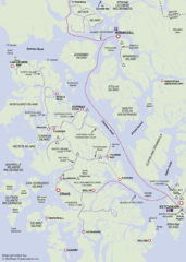
Prince of Wales Island Map
Shows area around Prince of Wales Island, Alaska, from Ketchikan to Wrangell.
520 miles away

Bear Creek Greenway Map
Trail map of the Bear Creek Greenway connecting Central Point to Ashland, Oregon. Will eventually...
523 miles away
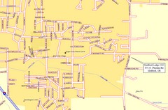
Medford, Oregon City Map
523 miles away
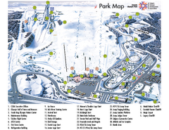
Canada Olympic Park Ski Trail Map
Trail map from Canada Olympic Park, which provides downhill skiing. This ski area has its own...
523 miles away
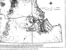
Map of Wolverine Sightings: 1886 -- 1998
526 miles away
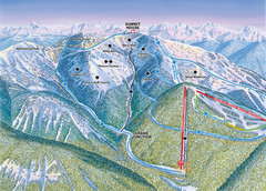
Whitefish Mountain Resort Hellroaring Ski Trail...
Trail map from Whitefish Mountain Resort.
526 miles away

Whitefish Mountain Resort Northside Ski Trail Map
Trail map from Whitefish Mountain Resort.
526 miles away
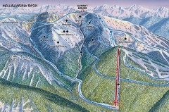
Whitefish Mountain Ski Trail Map - Hellroaring...
Official ski trail map of Whitefish Mountain ski area from the 2007-2008 season. (formerly named...
526 miles away
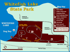
Whitefish Lake State Park Map
Although it’s right on the outskirts of Whitefish, this small park provides a mature forest...
527 miles away
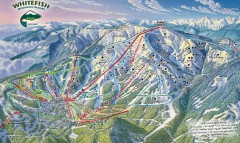
Whitefish Mountain Ski Trail Map - Front Side
Official ski trail map of Whitefish Mountain ski area from the 2007-2008 season. (formerly named...
527 miles away
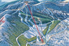
Whitefish Mountain Ski Trail Map - North Side
Official ski trail map of Whitefish Mountain ski area from the 2007-2008 season. (formerly named...
527 miles away
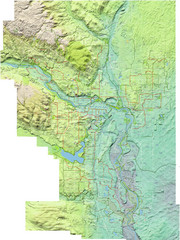
Calgary Topo Bike Map
This map shows the city of Calgary's bike routes. The topographic representation of the...
529 miles away
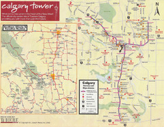
Calgary Tourist Map
Tourist map of Calgary, Canada. Shows points of interest. Scanned.
530 miles away
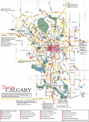
Calgary Map
530 miles away
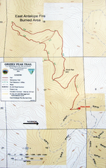
Grizzly Peak Trail Map
Topographic trail map of Grizzly Peak near Ashland, Oregon. Shows trails and distances. From...
530 miles away
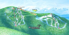
Blacktail Mountain Ski Trail Map
Official ski trail map of Blacktail Mountain ski area. See Blacktail's site for trailnames.
534 miles away

Blacktail Mountain Ski Area Ski Trail Map
Trail map from Blacktail Mountain Ski Area.
534 miles away
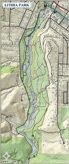
Lithia Park Trail Map
Trail map of Lithia Park in town of Ashland, Oregon. Adjacent to the Oregon Shakespeare Festival.
534 miles away
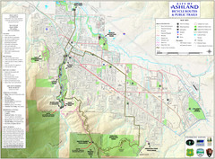
Ashland Trails Map
Trail map of Ashland, Oregon. Shows bicycle routes and public parks and trails.
534 miles away

