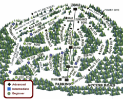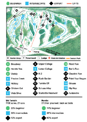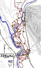
Nipika Ski Trail Map
Trail map from Nipika, which provides nordic skiing. This ski area has its own website.
451 miles away
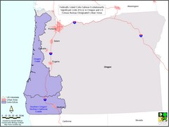
Oregon Coho Salmon Map
Shows federally listed coho salmon evolutionarily significant units in Washington state.
452 miles away
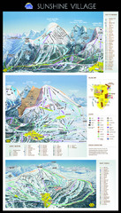
Sunshine Trail Map
Trail map of Sunshine Village
456 miles away
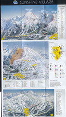
Banff’s Sunshine Village Ski Trail Map
Trail map from Banff’s Sunshine Village.
456 miles away
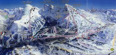
Sunshine Village Ski Trail Map
Official ski trail map of Sunshine Village ski area.
456 miles away
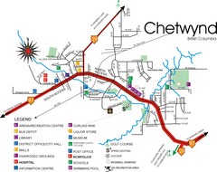
Chetwynd Town Map
458 miles away
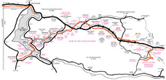
Trail of the Coeur d'Alenes Map
Shows the Trail of the Coeur d'Alenes, a 72 mile bike path that follows the Union Pacific...
459 miles away
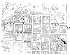
Myrtle Point walking tour Map
Walking tour map of the Historic homes of Myrtle Point in the Coquille Valley of Oregon.
459 miles away
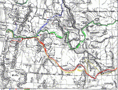
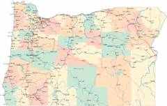
Oregon Trail Map
Old sketch map with modern cities, forts/ trading posts, and missions/churches superimposed. Shows...
459 miles away
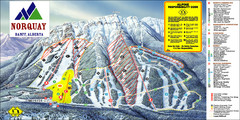
Banff Mount Norquay Ski Trail Map
Trail map from Banff Mount Norquay, which provides downhill skiing. This ski area has its own...
465 miles away
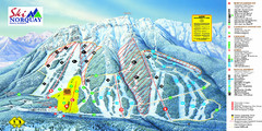
Norquay Map
Ski trail map
466 miles away
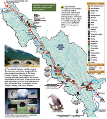
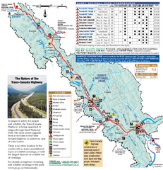
Banff National Park Map
466 miles away
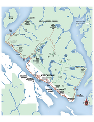
Ketchikan Area Map
Map of Ketchikan, Alaska and Revillagigedo Island. Shows trails, lakes, parks, and main roads.
468 miles away
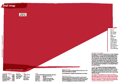
Silver Mountain Resort Ski Trail Map
Trail map from Silver Mountain Resort, which provides downhill, night, and terrain park skiing. It...
468 miles away
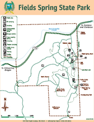
Fields Spring State Park Map
Map of park with detail of trails and recreation zones
470 miles away
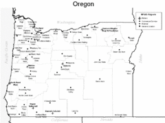
Oregon Airport Map
473 miles away

Panorama Ski Area Trail Map
Guide to the Panorama Mountain Resort, outside Calgary, Canada
476 miles away
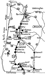
Oregon Walks Map
Walks in Portland, Oregon City, Corvallis, Salem, Lebanon, Albany, Eugene, Springfield, Junction...
477 miles away
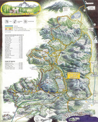
Diamond Lake Tourist Map
479 miles away
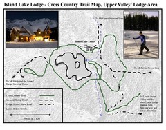
Island Lake Lodge Ski Trail Map
Trail map from Island Lake Lodge, which provides nordic skiing. This ski area has its own website.
479 miles away
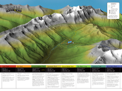
Island Lake Hiking Map
Hiking trail map of Island Lake area near Fernie, BC
479 miles away
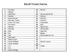
Fortress Bandit Chutes Run Names List Map
Trail map from Fortress, which provides downhill skiing.
479 miles away
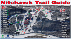
Nitehawk Ski Hill Ski Trail Map
Trail map from Nitehawk Ski Hill, which provides downhill skiing. This ski area has its own website.
479 miles away
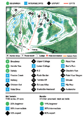
Anthony Lakes Mountain Resort Ski Trail Map
Trail map from Anthony Lakes Mountain Resort.
480 miles away
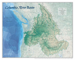
Columbia River Basin Map
481 miles away
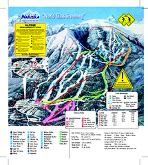
Nakiska Ski Resort Ski Trail Map
Trail map from Nakiska Ski Resort, which provides downhill skiing. This ski area has its own...
482 miles away
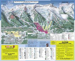
Fernie Ski Trail Map
Official ski trail map of Fernie ski area from the 2007-2008 season.
483 miles away
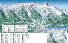
Fernie Alpine Trail Map
Ski trail map
483 miles away
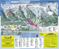
Fernie Alpine Resort Ski Trail Map
Trail map from Fernie Alpine Resort, which provides downhill and nordic skiing. This ski area has...
483 miles away
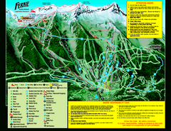
Fernie Alpine Resort 2007 Fernie Summer Map
Trail map from Fernie Alpine Resort, which provides downhill and nordic skiing. This ski area has...
483 miles away
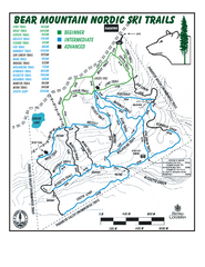
Bear Mountain Nordic Ski Trail Map
Trail map from Bear Mountain.
483 miles away
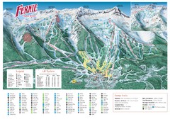
Fernie Mountain Trail Map
484 miles away
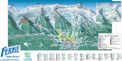
Fernie Mountain Trail Map
484 miles away
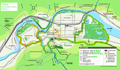
Fernie Town Trails Map
Trail map of recreational trails in and around town of Fernie, BC
484 miles away
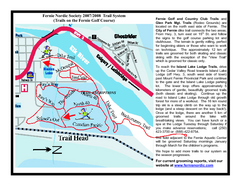
Fernie Golf Course Ski Trail Map
Trail map from Fernie Golf Course, which provides nordic skiing. This ski area has its own website.
484 miles away
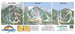
Lookout Pass Ski Trail Map
Official ski trail map of Lookout Pass ski area from the 2007-2008 season. Shows Montana, Idaho...
488 miles away

