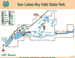
Sun Lakes-Dry Falls State Park Map
Map of park with detail of trails and recreation zones
328 miles away
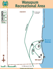
Wanapum Recreational Area Map
Map of park with detail of trails and recreation zones
328 miles away
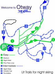
Otway Nordic Centre (Caledonia) Night lit Ski...
Trail map from Otway Nordic Centre (Caledonia), which provides night and nordic skiing. This ski...
328 miles away
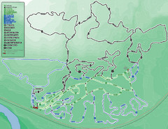
Otway Nordic Centre (Caledonia) Ski Trail Map
Trail map from Otway Nordic Centre (Caledonia), which provides night and nordic skiing. This ski...
328 miles away
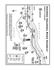
Historic Columbia River Highway Map
Official map from the US Forest Service. Shows the Corbett to Dodson stretch of Highway 30 with...
328 miles away
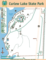
Curlew Lake State Park Map
Map of park with detail of trails and recreation zones
329 miles away
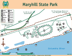
Maryhill State Park Map
Map of park with detail of trails and recreation zones
329 miles away

Phoenix Mountain Ski Trail Map
Trail map from Phoenix Mountain.
329 miles away
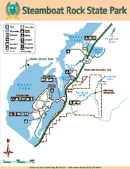
Steamboat Rock State Park Map
Map of park with detail of trails and recreation zones
330 miles away
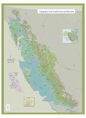
BC and Alaska Coastal Forest and Mountains Map
Relief map of coastal forest and mountains of southeast Alaska and British Columbia
331 miles away
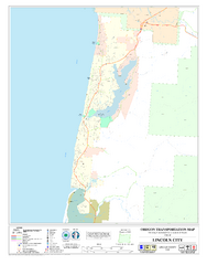
Lincoln City Oregon Road Map
332 miles away
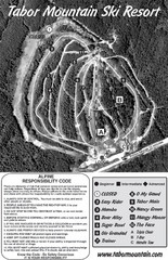
Tabor Mountain 2005–08 Tabor Downhill Map
Trail map from Tabor Mountain.
334 miles away
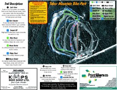
Tabor Mountain 2005–07 Tabor Summer Map
Trail map from Tabor Mountain.
334 miles away
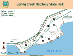
Spring Creek Hatchery State Park map
Map of park with detail of trails and recreation zones
334 miles away
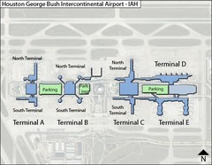
Houston, Airport Terminal Map
334 miles away
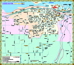
Hood River Map
Tourist map of city of Hood River, Oregon.
337 miles away
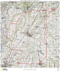
Spring Century Bike Route Map
Oregon Spring Century Ride
338 miles away
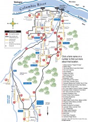
Hood River County Fruit Loop map
35-mile scenic drive through the valley's orchards, forests, farmlands, and friendly...
338 miles away
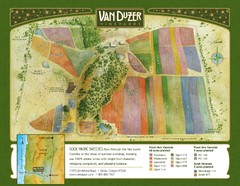
Van Duzer Vineyard Map
"A colorful vineyard map that shows the location of Van Duzer’s numerous grape varietals...
341 miles away
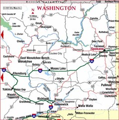
Eastern Washington Road Map
342 miles away
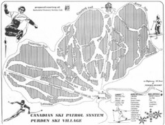
Purden Ski Village Ski Trail Map
Trail map from Purden Ski Village.
343 miles away
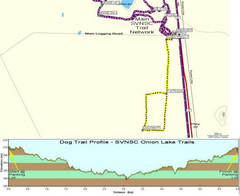
Onion Lake Dog Ski Trail Map
Trail map from Onion Lake, which provides nordic skiing. This ski area has its own website.
345 miles away
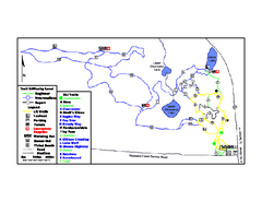
Onion Lake Ski Trail Map
Trail map from Onion Lake, which provides nordic skiing. This ski area has its own website.
345 miles away
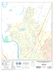
Keizer Oregon Road Map
345 miles away
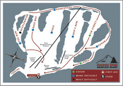
Cooper Spur Ski Area Ski Trail Map
Trail map from Cooper Spur Ski Area.
346 miles away
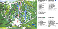
Murray Ridge Ski Trail Map
Trail map from Murray Ridge, which provides downhill and nordic skiing. This ski area has its own...
348 miles away
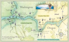
Columbia Gorge Wine Map
Wineries of the Columbia River Gorge area, Oregon.
348 miles away
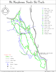
Mt Macpherson Nordic Ski Trail map
Nordic ski trail map of Mt Macpherson area near Revelstoke, BC. Shows trail names and distances in...
349 miles away
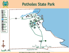
Potholes State Park Map
Map of park with detail of trails and recreation zones
350 miles away
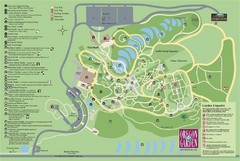
Oregon Garden Map
Map and key marking trails and more in this amazing garden.
350 miles away
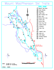
Revelstoke Nordic—Mount MacPherson Nordic Ski...
Trail map from Revelstoke Nordic—Mount MacPherson, which provides nordic skiing. This ski area...
350 miles away
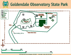
Goldendale State Park Map
Map of park with detail of trails and recreation zones
350 miles away
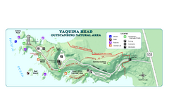
Yaquina Head Outstanding National Area Map
350 miles away
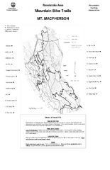
Mt. Macpherson Mountain Bike Trail Map
Mountain bike trail maps of Mt. Macpherson area and Mt. Mackenzie area right out of the town of...
351 miles away
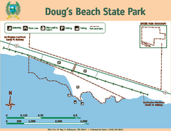
Dougs Beach State Park Map
Map of park with detail of trails and recreation zones
351 miles away

Independence Oregon Road Map
351 miles away

Revelstoke City Map
Overview map of Revelstoke, BC. Shows Points of Interest and activity icons
352 miles away

Timberline Ski Area Ski Trail Map
Trail map from Timberline Ski Area.
353 miles away
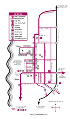
Nye Beach Tourist Map
353 miles away


