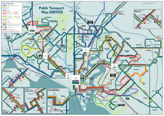
Southampton Public Transport Map
Public transport map of Southampton, England
216 miles away
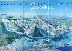
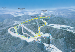
Gérardmer Ski Trail Map
Trail map from Gérardmer.
217 miles away
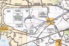
Heathrow Airport Transportation Map
217 miles away
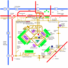
Heathrow Airport Map
217 miles away
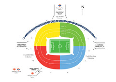
UK Wembley Stadium Map
217 miles away

Cornimont Ski Trail Map
Trail map from Cornimont.
217 miles away
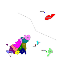
Guernsey Parish Map
Guide to the parishes of Guernsey, a British Crown Dependency in the English Channel
218 miles away
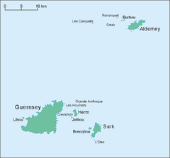
Guernsey Island Map
Guide to Guernsey, and island in teh English Channel
218 miles away
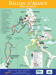
Ballon d’Alsace Ski Trail Map
Trail map from Ballon d’Alsace.
221 miles away
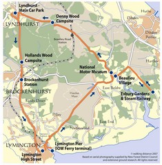
New Forest Bus Tour Map
221 miles away
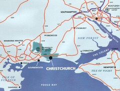
Christchurch, England Region Map
223 miles away
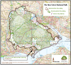
The New Forest National Park Map
Nice map with clear park boundaries.
223 miles away
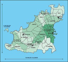
Guernsey Parish Map
223 miles away
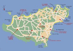
Guernsey Church Map
224 miles away
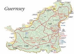
Guernsey road Map
224 miles away
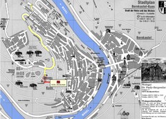
Bernkastel City Map
City map of Bernkastel-Kues with hotels and attractions
225 miles away
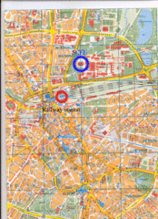
Eindhoven City Map
City map of center of Eindhoven, The Netherlands
225 miles away

Bournemouth bus tour map
Bournemouth bus tour map - City Sightseeing
226 miles away
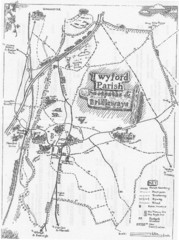
Twyford Parish Map
Footpaths and bridleways map of Twyford Parish
228 miles away
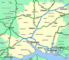
Southhampton Area Hotel Map
228 miles away
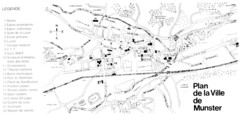
Munster Map
229 miles away
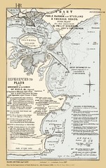
1857 Poole Harbor Map
Guide to the peninsula and improvements in the Harbor
229 miles away
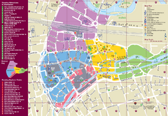
Reading Tourist Map
Tourist map of city center of Reading, England. Shows attractions and other tourist points of...
229 miles away
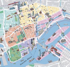
Rotterdam Tourist Map
Tourist map of Rotterdam, Netherlands. Largest port in Europe.
230 miles away
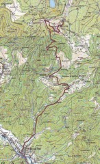
Grand Ballon Race Course Map
Topo course map of the 13.2 km running race to the summit of Grand Ballon
230 miles away
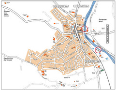
Henley-on-thames Map
Visitor Map of Henley-on-thames. Map shows location of most main roads, buildings, and parking.
232 miles away
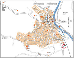
Henley-on-Thames Map
232 miles away
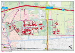
Delft University of Technology Campus Map
233 miles away
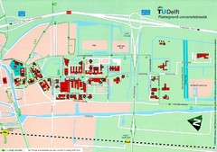
Delft University of Technology Map
234 miles away

Ribeauville Map
234 miles away
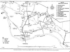
Whitchurch on Thames Walking Map
Guide to 12 walks around Whitchurch on Thames, UK
235 miles away
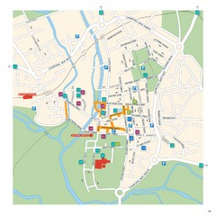
Salisbury Tourist Map
Tourist map of central Salisbury, UK. Shows parking and key for points of interest.
237 miles away
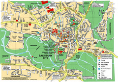
Salisbury City Map
Map of Salisbury City
237 miles away
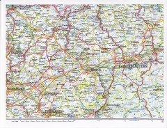
Gerhardsbrunn Map
237 miles away
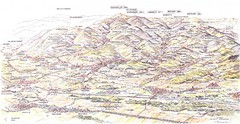
Guebviller valley panorama Map
237 miles away
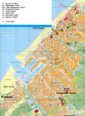
The Hague Hotel Map
Hotel map of The Hague, Netherlands. Shows tram stops. Congress centre highlighted.
238 miles away
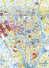
Utrecht, Netherlands Tourist Map
238 miles away

