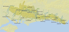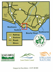
East Sussex, England Bus System Route Map
168 miles away
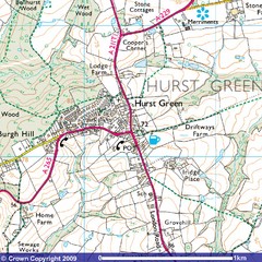
Hurst Green, England City Map
169 miles away
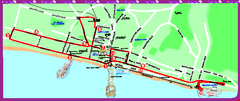
Brighton bus tour map
Brighton bus tour map - City Sightseeing
173 miles away
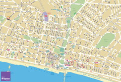
Brighton Tourist Map
Street map of Brighton, UK. Shows gay points of interest.
173 miles away
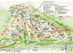
University of Sussex Campus Map
173 miles away
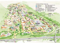
University of Sussex Campus Map
Official campus map of University of Sussex. Shows campus buildings and points of interest.
174 miles away
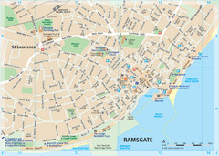
Ramsgate Tourist Map
Near Kent, England
174 miles away
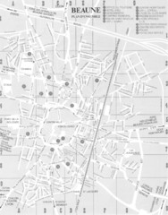
Beaune environs Map
174 miles away
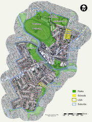
Canterbury Map
Map of parks, main streets, etc.
174 miles away
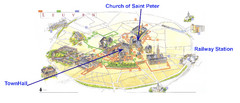
Leuvan City Map
Pictorial City Map of Leuven with information and attractions
174 miles away
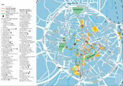
Leuven Tourist Map
Tourist map of Leuven, Belgium. Shows 'City of a Thousand Riches' tourist route. In...
174 miles away

Beaune index for gen & hist maps Map
174 miles away
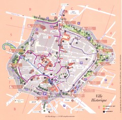
Beaune ville historique Map
174 miles away

Beaune plan general Map
174 miles away

Beaune centre Map
174 miles away

Thanet Isle Map
1809 Guide to Thanet Isle in Britain
175 miles away

Broadstairs Tourist Map
175 miles away
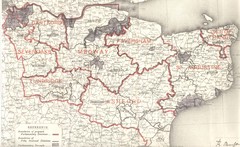
Kent, England County Map
177 miles away
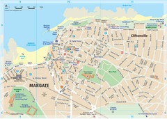
Margate TouristMap Map
177 miles away
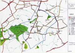
Hoath Town Map
Handwritten map of town of Hoath, England near Canterbury.
177 miles away
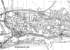
Shoreham-by-Sea, England City Map
178 miles away
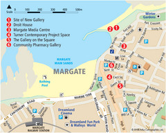
Margate Tourist Map
Tourist map of Margate, England.
178 miles away
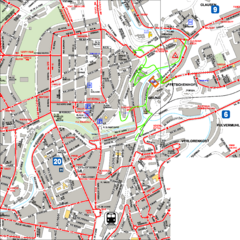
City Center with Bus and Rail Lines Map
179 miles away
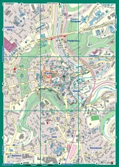
Luxembourg City Street Map
Street map of Luxembourg city and surrounding area.
179 miles away
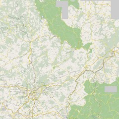
Luxembourg Bike Map
180 miles away
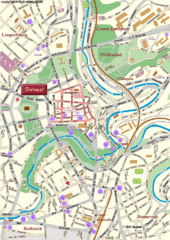
Luxembourg city Map
180 miles away
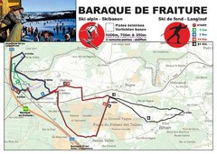
Baraque de Fraiture and Nordic Ski Trail Map
Trail map from Baraque de Fraiture.
180 miles away
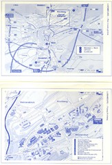
Kirchberg Map
Map of Kirchberg, Luxembourg. In French. Scanned.
180 miles away
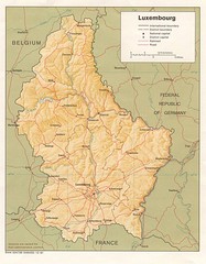
Luxembourg Map
Map of the mountains, cities and roadways of Luxembourg.
182 miles away
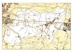
Capel Footpaths Map
Map of Footpaths in Capel Parish
182 miles away
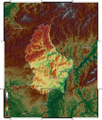
Luxembourg topo Map
183 miles away

Disabled Accessible Places in Maidstone, Kent Map
A guide to places in Maidstone that are wheelchair accessible.
183 miles away
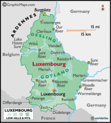
Luxembourg Map
183 miles away
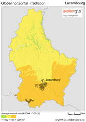
Solar Radiation Map of Luxembourg
Solar Radiation Map Based on high resolution Solar Radiation Database: SolarGIS. On the Solar Map...
184 miles away
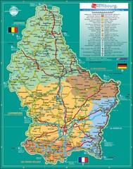
Luxembourg Tourism Map
Tourist Map of Luxembourg showing major roads, railways, and tourist attractions.
184 miles away
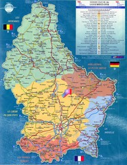
Luxembourg Tourist Map
Tourist map of the country of Luxembourg. Shows points of interest and activity icons. In French...
184 miles away
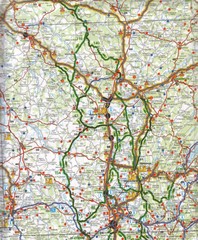
Central France Tourist Map
184 miles away
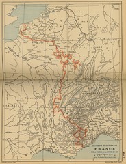
Wars of France and the Empire - 1521-1529...
184 miles away

