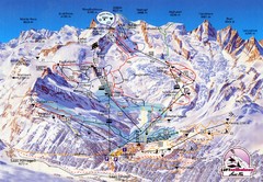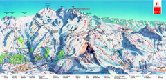
Piste Map of Zermatt with Cervinia
Combined piste map of Zermatt and Cervinia resorts. Shows both sides of the huge ski destination.
324 miles away
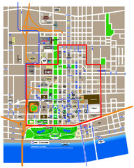
St. Louis, MO Tourist Map
325 miles away
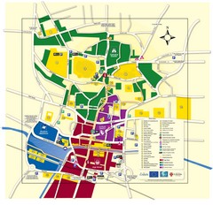
Lincoln Tourist Map
Tourist map of Lincoln, England. Shows points of interest.
325 miles away
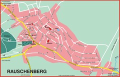
Rauschenberg Map
Street map of town of Rauschenberg
325 miles away
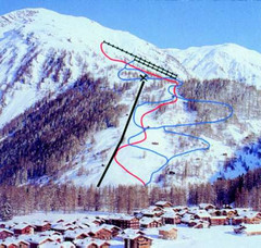
Hungerberg Ski Trail Map
Trail map from Hungerberg, which provides downhill skiing. It has 3 lifts. This ski area has its...
325 miles away
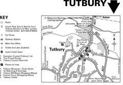
Tutbury Town Centre Map
325 miles away
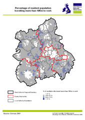
West Midlands Travel Time Statistics Map
Percentage of residents who travel to work in West Midlands, England
325 miles away
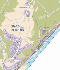
Stadtprozelten Map
Stadtprozelten street map
326 miles away
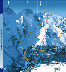
La Grave Ski Trail Map
Trail map from La Grave.
327 miles away
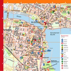
Konstanz Tourist Map
Tourist map of Konstanz
327 miles away
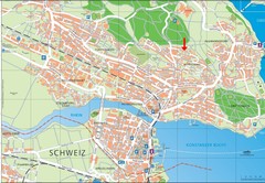
Konstanz City Map
327 miles away
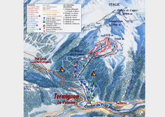
Termignon-la-Vanoise Ski Trail Map
Trail map from Termignon-la-Vanoise.
328 miles away
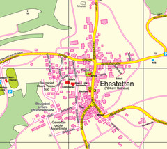
Ehestetten Map
Street map of Ehestetten
328 miles away
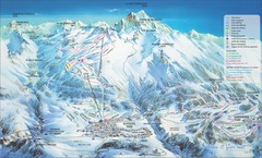
Aussois Ski Trail Map
Trail map from Aussois.
328 miles away
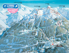
La Norma Ski Trail Map
Trail map from La Norma, which provides downhill skiing.
328 miles away

Valfrejus Town Street Map
Street map of the ski resort town of Valfrejus, France. Shows points of interest.
328 miles away
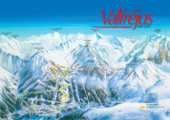
Valfréjus Ski Trail Map
Trail map from Valfréjus, which provides downhill skiing.
328 miles away
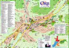
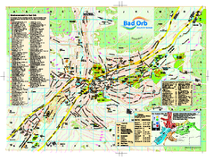
Bad Orb Map
329 miles away
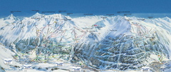
Val Cénis Ski Trail Map
Trail map from Val Cénis.
329 miles away
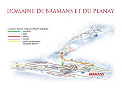
Bramans Ski Trail Map
Trail map from Bramans.
329 miles away
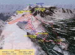
Alpe Ciamporino Ski Trail Map
Trail map from Alpe Ciamporino, which provides downhill skiing. It has 6 lifts. This ski area has...
329 miles away
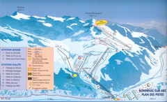
Bonneval sur Arc Ski Trail Map
Trail map from Bonneval sur Arc.
330 miles away
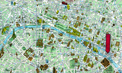
Paris, France Tourist Map
330 miles away

Andermatt (Hospental) Ski Trail Map
Trail map from Andermatt (Hospental).
330 miles away

DTb Master Diagram (early draft) Map
DUKERIES THINKBELT: MASTER DIAGRAM All elements and key
330 miles away
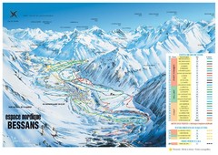
Bessans Ski Trail Map
Trail map from Bessans, which provides downhill and nordic skiing.
331 miles away
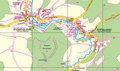
Indelhausen / Anhausen Map
Map of towns of Indelhausen & Anhausen
331 miles away
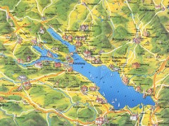
Lake Konstanz Map
331 miles away
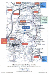
Central England Tourist Map
The area around Nottingham
331 miles away
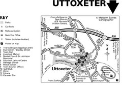
Uttoxeter Town Centre Map
332 miles away
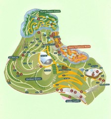
2006 Eden Project Map
Guide to the largest greenhouse in the world, built inside of an old quarry
332 miles away
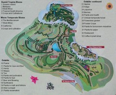
2000-2004 Eden Project Map
Guide to largest greenhouse in the world, the Eden Project
332 miles away
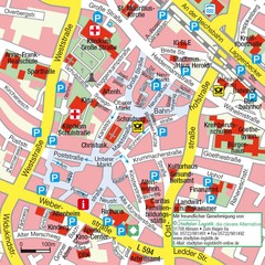
Ibbenbüren Downtown Map
Street map of Ibbenbüren city center
333 miles away
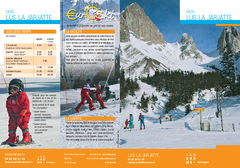
La Jarjatte Ski Trail Map
Trail map from La Jarjatte, which provides downhill and nordic skiing. It has 5 lifts servicing 6...
334 miles away
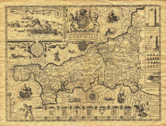
Old Maps: Cornwall Map
Map of Cornwall from The Theatre and Empire of Great Britain
334 miles away
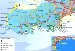
Swansea Area Tourist Map
335 miles away

