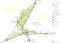
Chateau Chambord Estate Map
Estate map of the famous Chateau Chambord. Largest Chateau in the Loire River Valley.
95 miles away
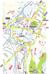
Lisieux Map
96 miles away
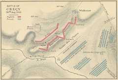
Battle of Crecy Map
Battlefield map of Crecy, France, August 28th 1346 during the Hundred Years War.
97 miles away
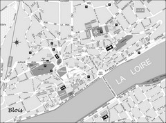
Blois Street Map
101 miles away
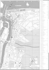
Trouville sur Mer Map
106 miles away

Deauville Map
107 miles away
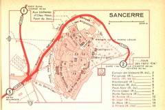
Sancerre Town Map
Town center of Sancerre, France. From Penguin edition, pages 13-16
110 miles away

Cabourg Map
113 miles away

Caen Map
123 miles away
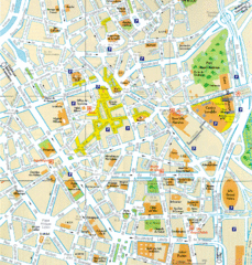
Lille Center Map
Street map of Lille city center
126 miles away
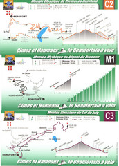
Beaufort Cycling Route Map
Three routes drawn and elevation gains shown for each cycling route in Beaufort, France's...
130 miles away

Normandy D-day Beaches Map
131 miles away

Chateaux of the Loire River Valley Map
Chateaus of the Loire River Valley region in France. Stretching from the Atlantic from Nantes to...
131 miles away
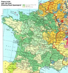
France Late 15th Century Map
France in the Late 15th Century (showing Royal Appanages)
135 miles away
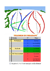
Brabant Ski Trail Map
Trail map from Brabant.
139 miles away

Bayeux Map
139 miles away
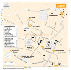
Bayeux Tourist Map
Tourist map of Bayeux, France shows accommodations and restauraunts
139 miles away
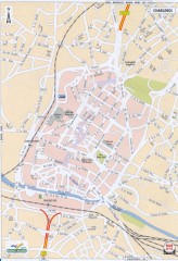
Charleroi Street Map
Street map of Charleroi, Belgium. Major buildings labeled.
142 miles away

Port-en-Bessin Huppain Map
142 miles away
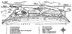
Omaha Beach Map
147 miles away
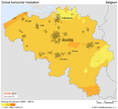
Solar Radiation Map of Belgium
Solar Radiation Map Based on high resolution Solar Radiation Database: SolarGIS. On the Solar Map...
148 miles away
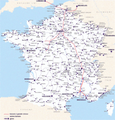
Map of SNCF National Railway Network in France
A SNCF map (Société Nationale des Chemins de Fer) showing the French train System...
148 miles away
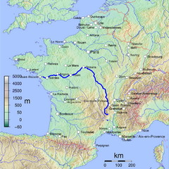
France Map with river Loire Highlighted
Map of France with river Loire higlighted.
152 miles away
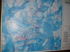
Station du Haut-Folin ? Nordic Ski Trail Map
Trail map from Station du Haut-Folin, which provides nordic skiing. This ski area has its own...
153 miles away
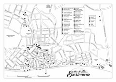
Eastbourne England Tourist Map
Central Eastbourne, England street level tourist map showing tourist sites, parks and city...
158 miles away
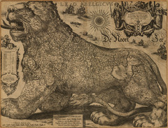
Jodocus Hondius’ Map of Belgium as a Lion...
Jodocus Hondius’ Map depicting Belgium as a Lion.
159 miles away
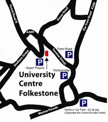
University Centre at Folkestone Map
160 miles away
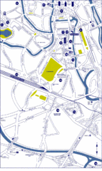
Ghent City Map
City map of Ghent with attractiosn
162 miles away
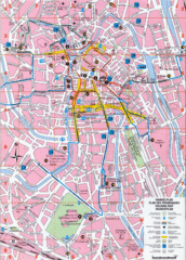
Ghent Walking Tour Map
Tourist and walking tour map of Ghent, Belgium. Shows points of interest.
162 miles away
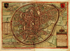
Medieval Brussels Map
163 miles away
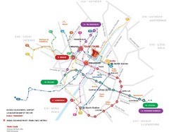
Brussels Transit Map
163 miles away
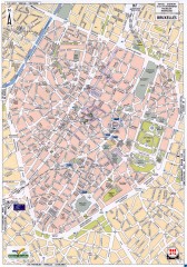
Brussels Street Map
Street map of the center of Brussels, Belgium (Brussel, Bruxelles). Major buildings labeled.
163 miles away
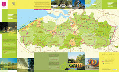
Flanders Camping and Cycling Map
Shows campgrounds and cycling routes in Flanders, Belgium
163 miles away
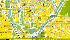
South Bruges Map
Map of the southern part of Bruges city
165 miles away
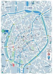
Brugge Tourist Map
Tourist map of Brugges, Belgium. Shows buildings and streets.
166 miles away
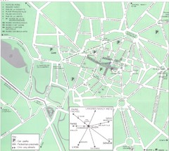
Dijon Map
166 miles away
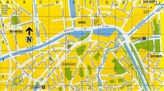
North Bruges Map
Map of northern part of Bruges city
166 miles away

Dijon centre Map
166 miles away
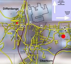
Differdange Bus Map
168 miles away
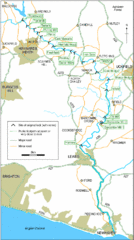
East Sussex, England City Map
168 miles away

