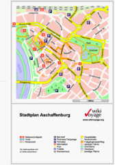
Aschaffenburg Tourist Map
Tourist street map of Aschaffenburg
318 miles away
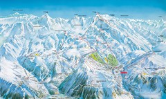
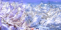
Grands Rousses (L’alpe d’Huez) Ski...
Trail map from Grands Rousses (L’alpe d’Huez), which provides downhill skiing.
318 miles away
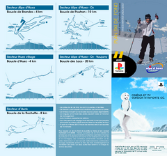
Grands Rousses (L’alpe d’Huez) Nordic...
Trail map from Grands Rousses (L’alpe d’Huez), which provides downhill skiing.
318 miles away
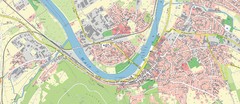
Miltenberg Map
Map of Miltenberg and surrounding area
318 miles away
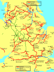
UK Broad Beam Canal Map
Guide to UK waterways that accommodate a barge
318 miles away
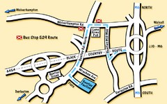
Bentley Map
Location map for Bentley. Includes roads, bus stops, and directions to Bentley Pavilion.
318 miles away
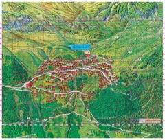
Bettmeralp Summer Map
Summer tourist map of town of Bettmeralp, Switzerland. With reference grid.
319 miles away
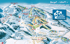
Winterberg Ski Trail Map
Trail map from Winterberg.
319 miles away
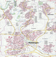
Waiblingen Map
City map of Waiblingen and surrounding region
319 miles away
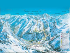
Pralognan-la-Vanoise Ski Trail Map
Trail map from Pralognan-la-Vanoise.
319 miles away
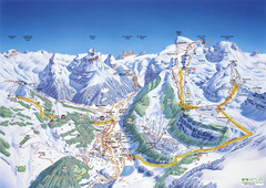
Engelberg Titlis Ski Trail Map
Trail map from Engelberg Titlis.
319 miles away

Europe Political Map
320 miles away
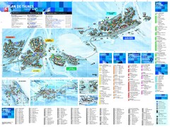
Tignes Ski Resort Town Map
Map of the ski resort town of Tignes, France. Shows residences, hotels, services, clubs, and other...
320 miles away
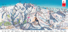
Zermatt Matterhorn Map
321 miles away
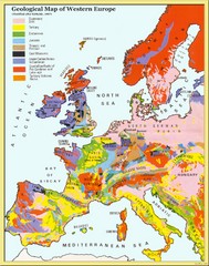
Western Europe Geology Map
Geological map of Western Europe. Modified after Kirkaldy 1967.
321 miles away
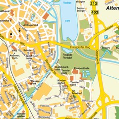
Nordhorn Center Map
Street map of Nordhorn town center
321 miles away
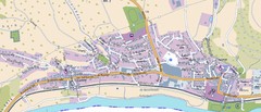
Collenberg Map
Street map of town of Collenberg
321 miles away
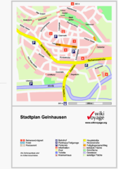
Gelnhausen Center Map
Tourist map of Gelnhausen center
322 miles away
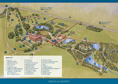
Weston Park Estate Map
322 miles away
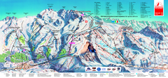
Matterhorn Ski Paradise Ski Trail Map
Trail map from Matterhorn ski paradise.
322 miles away
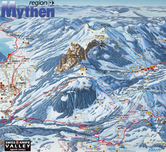
Brunni-Alpthal Ski Trail Map
Trail map from Brunni-Alpthal.
322 miles away
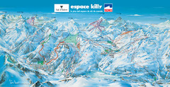
Espace Killy (Val D’Isere, Tignes) Ski Trail Map
Trail map from Espace Killy (Val D’Isere, Tignes).
322 miles away
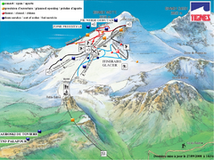
Espace Killy (Val D’Isere, Tignes) Tignes...
Trail map from Espace Killy (Val D’Isere, Tignes).
322 miles away

Valloire Pistes Ski Map
322 miles away
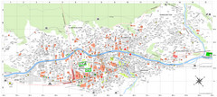
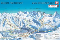
Zermatt Tourist Map
Guide to Zermatt, Switzerland
322 miles away
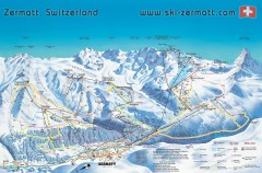
Zermatt Switzerland ski map
Zermatt Switzerland ski map
322 miles away
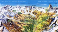
Zermatt Switzerland summer map
Summer hiking map of Zermatt
322 miles away
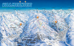
Valloire Vallorie and Valmeinier Ski Trail Map
Trail map from Valloire, which provides downhill skiing.
323 miles away
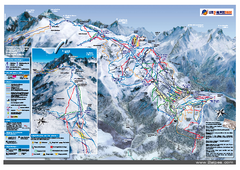
Les Deux Alpes Ski Trail Map
Trail map from Les Deux Alpes.
323 miles away
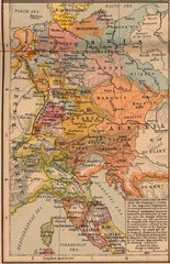
Germany Italy 1803 Map
Germany and Italy in 1803 after the Principle Decree of the Imperial Deputation
323 miles away
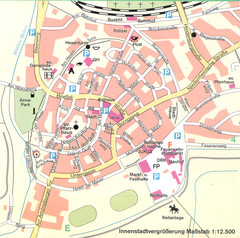
Kirchain Center Map
Street map of Kirchain center
323 miles away
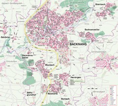
Backnang Region Map
Street map of Backnang and surrounding area
323 miles away
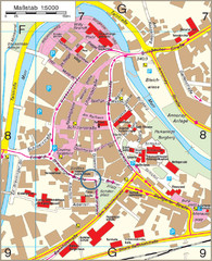
Backnang City Map
Street map of Backnang city center
323 miles away
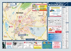
Kirchhain Tourist Map
Tourist map of Kirchhain and surrounding region
324 miles away
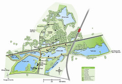
Whisby Nature Park Map
Shows park as of January 2009.
324 miles away
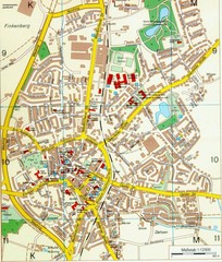
Ennirgerloh Map
Street map of Ennirgerloh
324 miles away
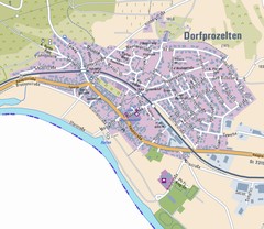
Dorfprozelten Map
Street map of Dorfprozelten
324 miles away

