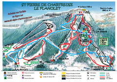
La Planolet Ski Trail Map
Trail map from La Planolet.
295 miles away
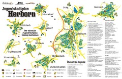
Herborn Tourist Map
Tourist map of Herborn and surrounding area
295 miles away
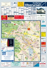
Oberursel Tourist Map
Tourist map of Oberursel and surrounding region
295 miles away

Chamonix Valley Town Map
Map of Chamonix Valley and ski locations
295 miles away
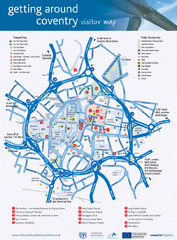
Coventry Tourist Map
Tourist map of central Coventry, England. Shows points of interest.
295 miles away
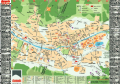
Chamonix Tourist Map
Tourist street map of Chamonix, France. In French.
296 miles away
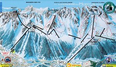
Chamonix—La Flegère Ski Trail Map
Trail map from Chamonix—La Flegère.
296 miles away
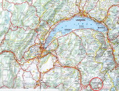
Chamonix Location Map
296 miles away
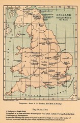
England War of the Roses Map
Guide to battle sites, encampments and treaties of the War of the Roses in England
296 miles away
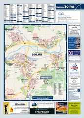
Solms Tourist Map
Tourist map of Solms and surrounding region
296 miles away
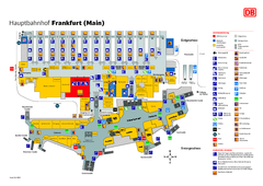
Frankfurt HBf Map
297 miles away
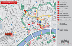
Frankfurt Tourist Map
Tourist map of central Frankfurt, Germany. Shows points of interest. In English and German.
298 miles away
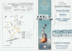
La Tzoumaz Public Transportation Map (French)
298 miles away
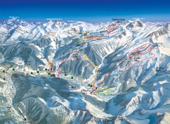
Arèches Ski Trail Map
Trail map from Arèches.
298 miles away
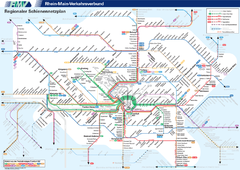
Frankfurt Nahverkehr Map
298 miles away
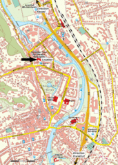
Frankfurt Tourist Map
298 miles away
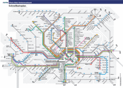
Frankfurt Subway Map (German)
298 miles away
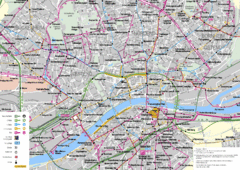
Frankfurt Public Transportation Map
Public transportation map of central Frankfurt, Germany. Shows bus and train routes.
298 miles away

Frankfurt Nahverkehr Map
298 miles away
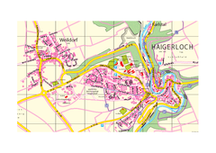
Haigerloch & Weildorf Map
Map of Haigerloch / Weildorf area
298 miles away
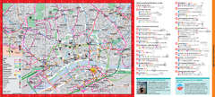
Frankfurt City Map
298 miles away
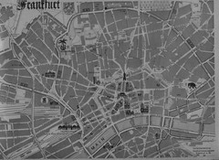
Frankfurt City Map
City map of Frankfurt
298 miles away
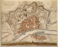
Frankfurt City Map 1840
298 miles away
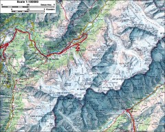
Mont Blanc topographic map
topo map of Mont Blanc, France; highest point in the Alps
299 miles away
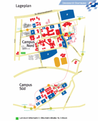
Universitat Dortumund Campus Map
299 miles away
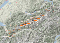
Swiss Alps Trail Map
Around Interlaken, Switzerland.
299 miles away
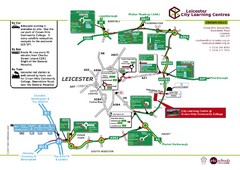
Leicester City Learning Centres Map
300 miles away
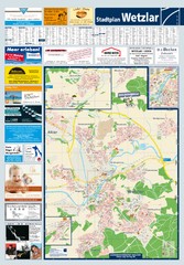
Wetzlar Tourist Map
Tourist map of Wetzlar and surrounding region
300 miles away
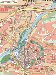
Wetzlar Center Map
Street map of town center of Wetzlar
300 miles away
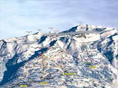
Crans Montana (Barzettes, Aminona) Ski Trail Map
Trail map from Crans Montana (Barzettes, Aminona), which provides downhill skiing.
300 miles away

Saint Emilion Map
300 miles away
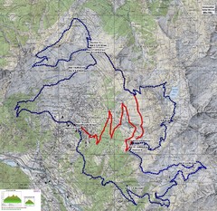
Verbier 60k Course Profile Map
Course Map and Elevation Profile for the Verbier Ultra Run 60k and 20k routes.
300 miles away
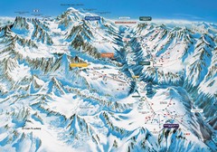
Chamonix Piste Ski Area Trail Map
300 miles away
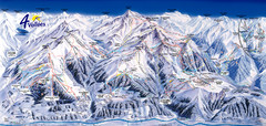
Verbier—Les quatre vallées (Nendaz...
Trail map from Verbier—Les quatre vallées (Nendaz, Veysonnaz), which provides downhill...
300 miles away
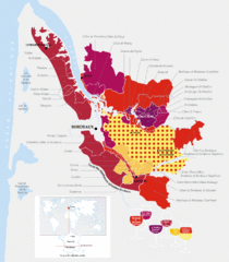
Bordeaux Region Wine Districts Map
Wine map of districts in the Bordeaux region of France. In French.
301 miles away
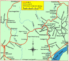
Monmouth and Wye Valley Railways Map
Map showing the 3 major railway lines and the cities with stops of Monmouth, UK.
301 miles away
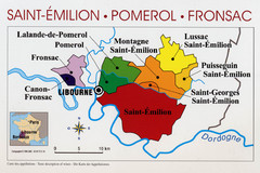
Libournais Region Wine District Map
Shows wine districts of the Libournais region near Libourne, France
301 miles away
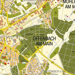
Offenbach am Main Map
Street map of Offenbach am Main
301 miles away


