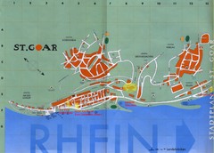
Sankt Goar Town Map
Town map of Sankt Goar, Germany. Sankt Goar is a picturesque little town on the Rhein river, about...
258 miles away
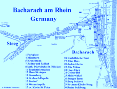
Bacharach Tourist Map
Tourist map of town of Bacharach
258 miles away
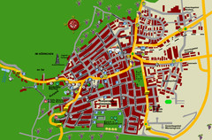
Bad Bergzabern Tourist Map
Tourist street map of Bad Bergzabern
258 miles away
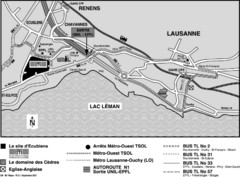
EPFL Lausanne Switzerland Map
Map of the EPFL University and bus routes from Lausanne to get there.
259 miles away

Poitou Charantes Map
259 miles away
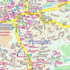
Bergisch Gladbach Map
City street map of Bergisch Gladbach
259 miles away
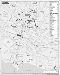
Lausanne Tourist Map
Tourist map of central Lausanne, Switzerland on the shore of Lake Geneva. Shows accommodation...
259 miles away
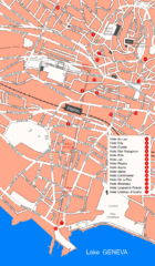
Lausanne Hotel Map
259 miles away
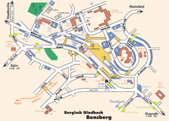
Bergisch Gladbach Tourist Map
Tourist map of Bergisch Gladbach
259 miles away
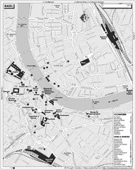
Basel Tourist Map
Tourist map of Basel, Switzerland. Shows museums, accommodations, eating, and drinking spots
259 miles away
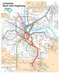
Basel Light Rail and Bus Map
259 miles away

Weil am Rhein Tourist Map
Tourist street map of Weil am Rhein
260 miles away
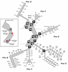
Amsterdam Airport Schipol Map
260 miles away

Great Yarmouth District England Map
Map of Great Yarmouth & the Norfolk Broads showing major roads and cities.
261 miles away
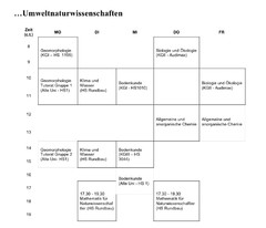
Test Map
262 miles away
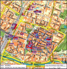
Frieburg Tourist Map
262 miles away
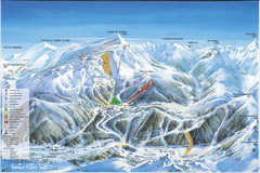
Super Lioran Ski Trail Map
Trail map from Super Lioran.
262 miles away
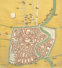
Haarlem City Map
Haarlem city center map from 1550
262 miles away

Old European map
262 miles away
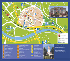
Gengenbach Tourist Map
Tourist map of Gengenbach
263 miles away
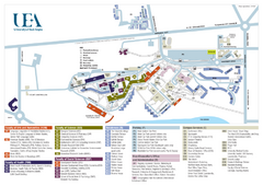
U. of East Anglia Map
263 miles away
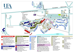
University of East Anglia Map
263 miles away
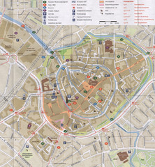
Amersfoort Map
263 miles away
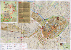
Amersfoort Map
263 miles away
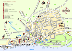
Rüdesheim Tourist Map
Tourist street map of Rüdesheim
264 miles away

Brittany region Map
264 miles away
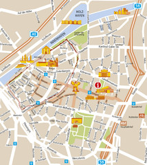
Duisburg City Map
Street map of Duisburg center
264 miles away
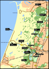
Nationaal Park Zuid-Kennemerland Map
Park overview map of Zuid-Kennemerland National Park (NPZK), Netherlands
264 miles away
Duisburg Tourist Map
Tourist map of central Duisburg, Germany. Shows points of interest.
265 miles away
Chippenham Town Map
265 miles away
Xanten Tourist Map
Xanten center tourist map
265 miles away
De Pijp Neighborhood Map
De Pijp neighborhood in Amsterdam map
265 miles away
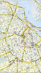
Amsterdam Central City Map
City map of Amsterdam Central
266 miles away
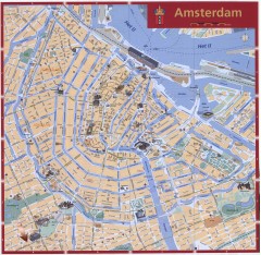
Amsterdam Tourist map
Shows major tourist points of interest. Scanned.
266 miles away
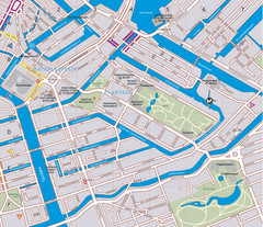
Waterlooplein, Plantage and Oosterpark Tourist Map
Waterlooplein, Plantage and Oosterpark neighborhoods in Amsterdam
266 miles away
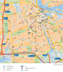
Amsterdam Tourist Map
266 miles away
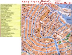
Amsterdam Tourist Map
266 miles away
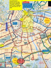
Amsterdam Hotel Map
266 miles away
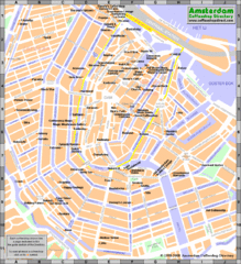
Amsterdam Coffee Shops Map
266 miles away

