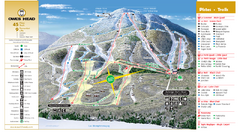
Owl’s Head Ski Trail Map
Trail map from Owl’s Head, which provides downhill skiing. This ski area has its own website.
885 miles away
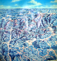
White Mountains New Hampshire Map
Old bird's eye view map of the White Mountain region of New Hampshire by Frank Thomas. Date of...
885 miles away
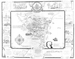
Hampton, New Hampshire Historical Map
Historical map of Hampton, New Hampshire. Illustrated map includes roads and historical buildings.
886 miles away
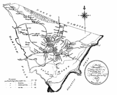
Hampton NH Map 1806
1806 map of Hampton, NH. Shows roads and settlements.
887 miles away
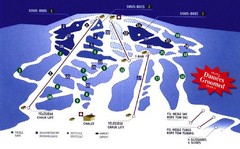
Mont Glen Ski Trail Map
Trail map from Mont Glen, which provides downhill skiing. This ski area has its own website.
887 miles away
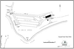
Crystal Lake State Park Map
Trail map of Crystal Lake State Park in Vermont
888 miles away

Montreal Downtown pictorial Map
Pictorial illustration of Downtown Montreal
888 miles away
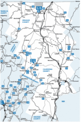
Caledonia County Map
888 miles away
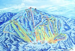
Gunstock Ski Area Ski Trail Map
Trail map from Gunstock Ski Area.
889 miles away
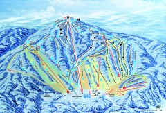
Gunstock Ski Trail Map
Ski trail map of Gunstock Mountain ski area
889 miles away
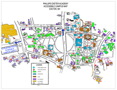
Phillips Exeter Academy Campus Map
Phillips Exeter Academy Campus Map
890 miles away
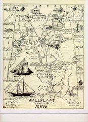
Wellfleet 1930s Tourist Map
A tourist map from the 1930s of Wellfeet, Massachusetts in Cape Cod. Courtesy of Cynthia Blakeley
891 miles away
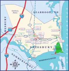
Salisbury Town Map
891 miles away
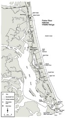
Parker River Map
Map of Parker River National Wildlife Refuge for birdlife
891 miles away
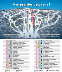
Ski Mont Shefford Ski Trail Map
Trail map from Ski Mont Shefford, which provides downhill skiing. This ski area has its own website.
892 miles away
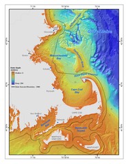
Massachusetts Bay sea floor Map
892 miles away
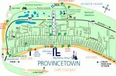
Provincetown, Massachusetts Map
Tourist map of Provincetown, Massachusetts. Shows beaches, visitor's center, bike trails, and...
893 miles away
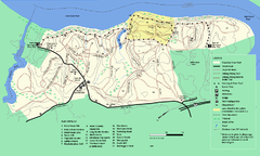
Maudslay State Park trail map
Trail Map of Maudslay State Park in Massachusetts.
895 miles away
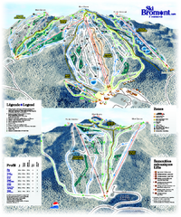
Ski Bromont Ski Trail Map
Trail map from Ski Bromont, which provides downhill skiing. This ski area has its own website.
895 miles away
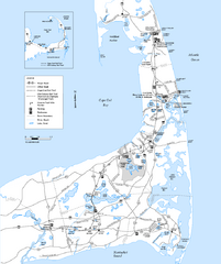
Cape Cod Rail Trail, Cape Cod, Massachusetts Map
Map of the Cape Cod Rail Trail bike path. Shows trails, restrooms, other roads and parking.
895 miles away
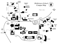
Holderness School Campus Map
A Campus Map of the Holderness School
895 miles away
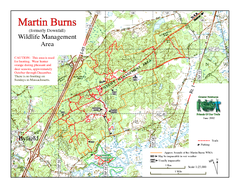
Downfall/Martin Burns WMA Map
896 miles away
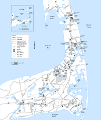
Cape Cod Rail Trail Map
Cape Cod Rail Trail map. The Cape Cod Rail Trail follows a former railroad right-of-way for 22...
896 miles away
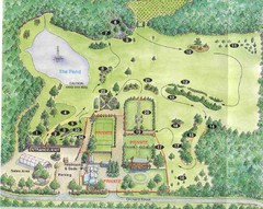
Newbury Perrenial Gardens Guide Map
896 miles away
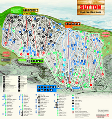
Mont Sutton Ski Trail Map
Trail map from Mont Sutton, which provides downhill skiing. This ski area has its own website.
897 miles away
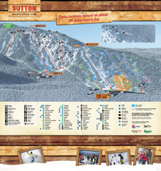
Mont Sutton Trail map
897 miles away
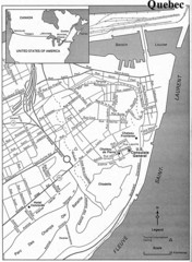
Quebec Tourist Map
897 miles away
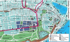
Quebec Tourist Map
897 miles away
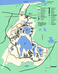
Nickerson State Park trail map
Trail map of Nickerson State Park in Massachusetts.
898 miles away
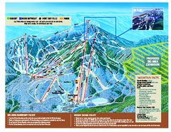
Jay Peak Ski Trail Map
Trail map from Jay Peak.
899 miles away
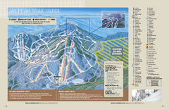
Jay Peak Ski Trail Guide Map
Official ski trail map of Jay Peak ski area from the 2006-207 season.
899 miles away
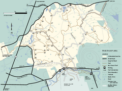
Willowdale State Forest map of Pine Swamp
Trail map of the Pine Swamp area of Willowdale State Park in Massachusetts.
899 miles away
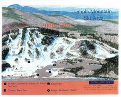
Temple Mountain Last year open—Credited to...
Trail map from Temple Mountain. This ski area opened in 1937.
900 miles away
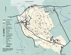
Bradley Palmer State Park summer map
Summer use map of Bradley Palmer State Park in Massachusetts
900 miles away
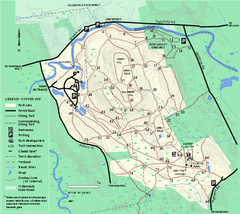
Bradley Palmer State Park winter map
Winter trail map of Bradley Palmer State Park.
900 miles away
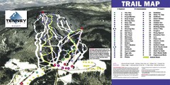
Tenney Mountain Ski Trail Map
Trail map from Tenney Mountain.
900 miles away
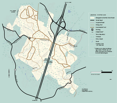
Georgetown-Rowley State Forest winter use map
Winter use map for the Georgetown-Rowley State Forest in Massachusetts.
901 miles away
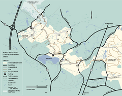
Willowdale State Forest map of Hood Pond
Trail map of the Hood Pond area of the Willowdale State Park in Massachusetts.
901 miles away
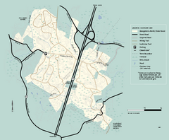
Georgetown-Rowley State Forest summer use map
Summer use map for Georgetown-Rowley State Forest.
901 miles away
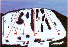
Ski Bradford Ski Trail Map
Trail map from Ski Bradford.
903 miles away

