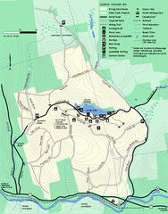
Erving Summer trail map
Summer use map of Erving State Park in Massachusetts.
966 miles away
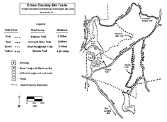
Pulaski State Park Map
966 miles away
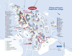
Mont Tremblant Village Map
966 miles away
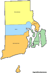
Rhode Island Counties Map
966 miles away
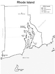
Rhode Island Airports Map
966 miles away
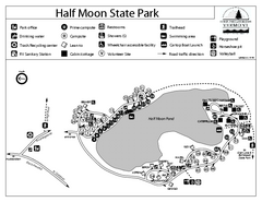
Half Moon State Park Campground Map
Campground map of Half Moon State Park in Vermont
966 miles away
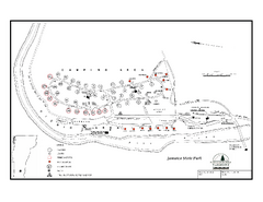
Jamaica State Park Campground Map
Campground map of Jamaica State Park in Vermont
967 miles away
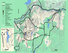
Wendell State Forest trail map
Trail map of Wendell State Forest in Massachusetts.
968 miles away
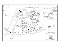
Bomoseen State Park map
Campground map of Bomoseen State Park in Vermont
968 miles away
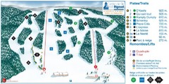
Ski Mont Rigaud Ski Trail Map
Trail map from Ski Mont Rigaud, which provides downhill skiing. This ski area has its own website.
969 miles away
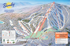
Bromley Mountain Ski Trail Map
Trail map from Bromley Mountain.
969 miles away
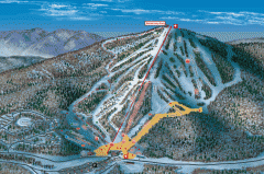
Bromley Mountain Ski Area map 2006-07
Simple ski trail map of Bromley Mountain Ski Area for the 2006-2007 season.
969 miles away
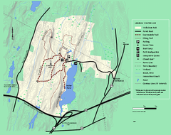
Wells State Park winter trail map
Winter use trail map of Wells State Park in Massachusetts.
969 miles away
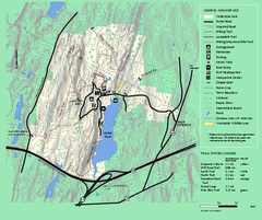
Wells State Park trail map
Trail map of Wells State Park in Massachusetts.
969 miles away
Fort Ticonderoga 1777 Map
969 miles away
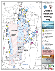
Quabbin Reservoir Fishing Map
Fishing access map of Quabbin Reservoir. Shows all ponds and submerged ponds.
970 miles away
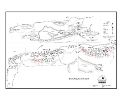
Emerald Lake State Park Campground Map
Campground map of Emerald Lake State Park in Vermont
970 miles away
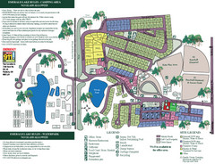
Emerald Lake State Park Map
970 miles away
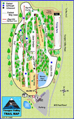
Yawgoo Valley Ski Area Ski Trail Map
Trail map from Yawgoo Valley Ski Area.
971 miles away
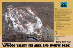
Yawgoo Valley Ski Trail map
Map of Yawgoo Valley Ski area in Exeter, Rhode Island. It is the only skiing resort in Rhode...
971 miles away
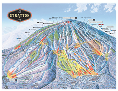
Stratton Mountain ski area trail map 2006-07
Official ski trail map of Stratton Mountain ski area from the 2006-2007 season.
971 miles away
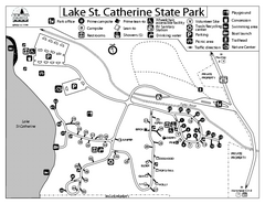
Lake St. Catherine State Park Campground Map
Campground map of St. Catherine State Park in Vermont
973 miles away
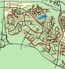
Burke Centre Area Trail Map
975 miles away
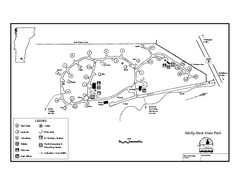
Molly Stark State Park Campground Map
Campground map for Molly State State Park in Vermont
976 miles away
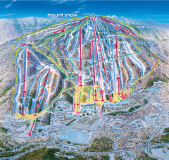
Mount Snow Ski Trail Map - main face
Trail map of main face of Mt Snow ski area near Wilmington, Vermont
976 miles away
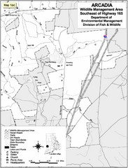
Arcadia Wildlife Management Area Map - Southeast
Reference map shows portion of Arcadia Wildlife Management Area, Rhode Island southeast of Highway...
976 miles away
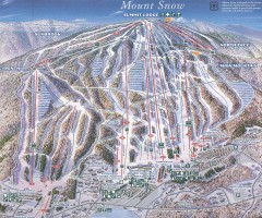
Mount Snow Trail Map 2001
Ski trail map of Mount Snow ski area, estimated 2001
976 miles away
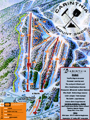
Mount Snow Carinthia Terrain Park Ski Trail Map
Trail map from Mount Snow.
976 miles away
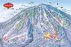
Stratton Mountain Resort Ski Trail Map
Trail map from Stratton Mountain Resort.
976 miles away
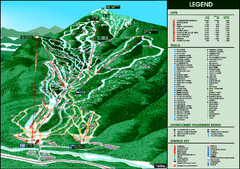
Whiteface Mountain—Lake Placid Ski Trail Map
Trail map from Whiteface Mountain—Lake Placid.
976 miles away
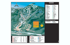
Whiteface Ski Trail Map
Official ski trail map of Whiteface 2006-2007 season.
977 miles away
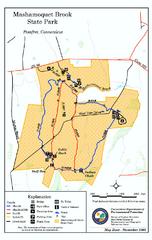
Mashamoquet Brook State Park trail map
Trail map of Mashamoquet Brook State Park in Connecticut.
977 miles away
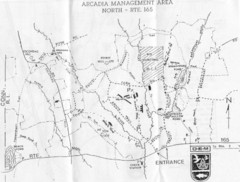
Arcadia Management Area State Map
Trail map for Arcadia Management Area in Rhode Island
977 miles away
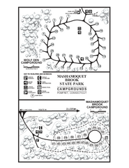
Mashamoquet Brook State Park campground map
Campground map of Mashamoquet Brook State Park in Connecticut.
977 miles away
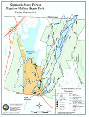
Nipmuck State Forest trail map
Trail map of Nipmuck State Forest and Bigelow Hollow State Park in Connecticut.
977 miles away
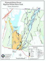
Bigelow Hollow State Park trail map
Trail map of Bigelow Hollow State Park in Connecticut.
977 miles away
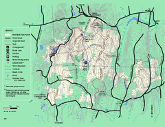
Brimfield State Forest trail map
Trail map of Brimfield State Forest in Massachusetts
977 miles away
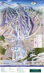
Haystack Club Ski Trail map
Official ski trail map of Haystack ski area from the 2006-2007 season.
977 miles away
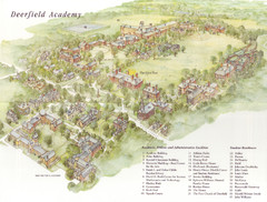
Deerfield Academy Campus Map
Shows buildings and facilities of Deerfield Academy. Scanned.
978 miles away

