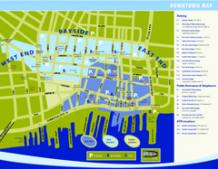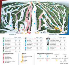
Le Relais Ski Trail Map
Trail map from Le Relais, which provides downhill skiing. This ski area has its own website.
822 miles away
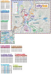
Citylink Route Map
Map of citylink bus routes throughout Auburn and Lewiston, Maine
825 miles away
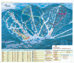
Stoneham Ski Resort Ski Trail Map
Trail map from Stoneham Ski Resort, which provides downhill skiing. This ski area has its own...
825 miles away
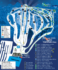
Mont Lac-Vert Ski Trail Map
Trail map from Mont Lac-Vert, which provides downhill skiing. This ski area has its own website.
827 miles away
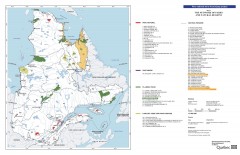
Quebec National Parks and Natural Regions...
Shows all existing National Parks and Natural Regions in Quebec as well as planned parks. This...
827 miles away
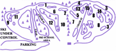
Lost Valley Ski Area Ski Trail Map
Trail map from Lost Valley Ski Area.
827 miles away
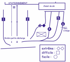
Mont Villa Saguenay Ski Trail Map
Trail map from Mont Villa Saguenay, which provides downhill skiing. This ski area has its own...
827 miles away
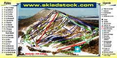
Mont Adstock Ski Trail Map
Trail map from Mont Adstock, which provides downhill skiing. This ski area has its own website.
830 miles away
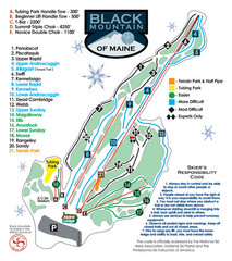
Black Mountain Ski Trail Map
Trail map from Black Mountain, which provides downhill, night, nordic, and terrain park skiing. It...
832 miles away
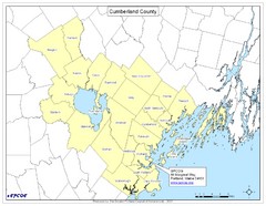
Cumberland County Map
Map showing all city divisions of Cumberland County, Maryland with specific location of the CPCOG.
835 miles away
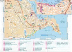
Falmouth Map
Map of Falmouth town and bay. Includes roads, parks, accommodations and attractions.
835 miles away
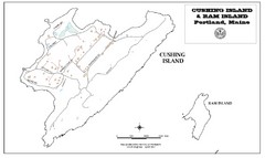
Cushing Island Map
Also shows Ram Island
837 miles away
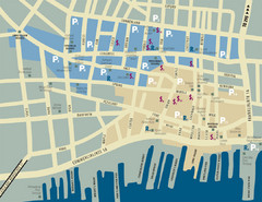
Portland, Maine Tourist Map
839 miles away
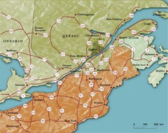
Southern Quebec Tourist Map
839 miles away
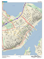
Portland, Maine City Map
839 miles away
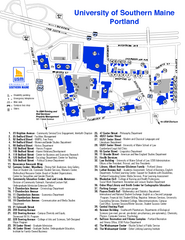
University of Southern Maine - Portland Map
840 miles away
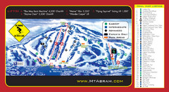
Mt. Abram Ski Resort Ski Trail Map
Trail map from Mt. Abram Ski Resort.
841 miles away
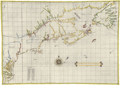
Velasco Map 1610
842 miles away
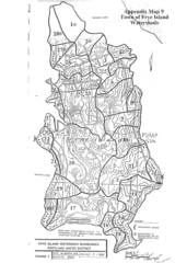
Frye Island Watershed Boundary Map
846 miles away
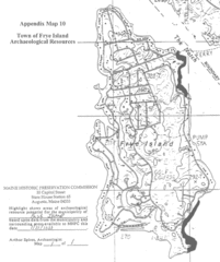
Frye Island Archaeological Map
846 miles away
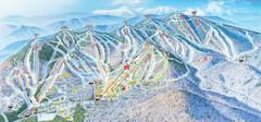
Sunday River Ski Resort Ski Trail Map
Trail map from Sunday River Ski Resort.
846 miles away
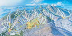
Sunday River Ski Trail map 2006-07
Official ski trail map of Sunday River ski area from the 2006-2007 season.
846 miles away
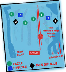
St Raymond Ski Trail Map
Trail map from St Raymond.
847 miles away
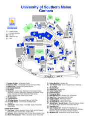
University of Southern Maine - Gorham Map
847 miles away
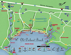
Old Orchard Beach Tourist Map
849 miles away
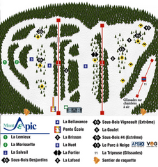
Mont Apic Ski Trail Map
Trail map from Mont Apic, which provides downhill skiing. This ski area has its own website.
849 miles away
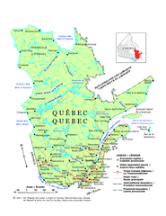
Quebec Political Map
Political map of province of Quebec, Canada. Show capitals, town, and major roads.
850 miles away
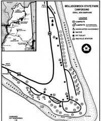
Mollidgewock State Park map
Campground map of Mollidgewock State Park in New Hampshire.
852 miles away
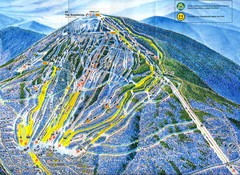
Sugarloaf Trail Map
Ski trail map of Sugarloaf mountain
853 miles away
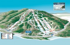
Shawnee Peak Ski Trail Map
Official ski trail map of Shawnee Peak ski area.
854 miles away
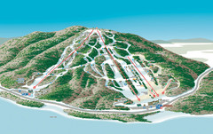
Shawnee Peak Ski Trail Map
Trail map from Shawnee Peak.
854 miles away
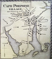
Cape Porpoise Village Map
856 miles away
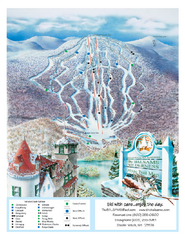
The Balsams—Wilderness Ski Trail Map
Trail map from The Balsams—Wilderness.
858 miles away
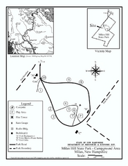
Milan Hill State Park Campground map
Campground map for Milan Hill State Park in New Hampshire.
860 miles away
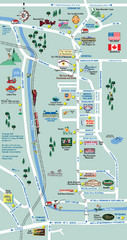
Mt. Washington Valley Restaurant Guide Map
Restaurants in Mt. Washington Valley, New Hampshire
862 miles away
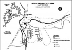
Moose Brook State Park map
Campground map of Moose Brook State Park in New Hampshire.
864 miles away
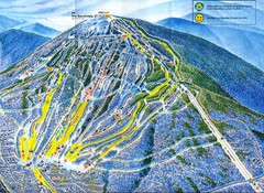
Sugarloaf Mountain Trail Map
Ski trail map
864 miles away
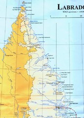
Labrador Peninsula Map
Shows towns in the Labrador Peninsula, Canada. Scanned.
865 miles away
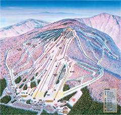
Cranmore Ski Trail Map
Official ski trail map of Cranmore Mountain ski area from the 2007-2008 season.
867 miles away

