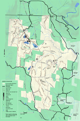
Savoy Mountail trail map
Trail map for Savoy Mountain in Massachusetts.
996 miles away
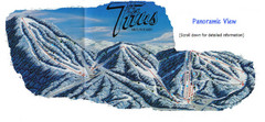
Titus Mountain Ski Trail Map
Trail map from Titus Mountain.
996 miles away
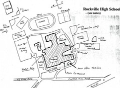
Rockville High School Map
Hand-drawn map of Rockville High School includes all buildings, Parking Lots, and sports fields.
996 miles away
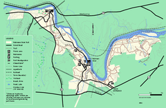
Robinson State Park trail map
Trail map of Robinson State Park in Massachusetts.
997 miles away
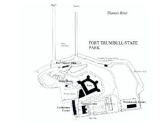
Fort Trumbull State Park map
Map of Fort Trumbull State Park in Connecticut.
997 miles away
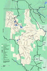
Savoy Mountain winter map
Winter use map of Savoy Mountain in Massachusetts.
997 miles away

Six Flags New England Theme Park Map
Official Park Map of Six Flags New England in Massachusetts.
997 miles away
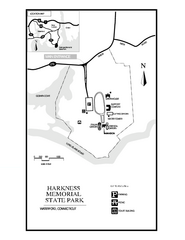
Harkness Memorial State Park map
Trail map of Harkness Memorial State Park in Connecticut.
999 miles away
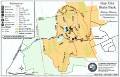
Gay City State Park trail map
Trail map of Gay City State Park in Connecticut.
999 miles away
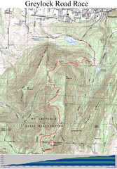
Mt. Greylock Road Race Course Map
Course map of the annual Mount Greylock Road Race. 8 Miles (uphill). Start/Finish: Mt. Williams...
1001 miles away
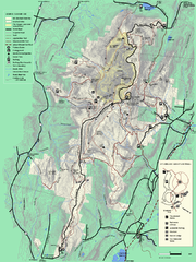
Mt. Greylock State Reservation summer trail map
Summer trail map of the Mt. Greylock State Park area in Massachusetts.
1002 miles away
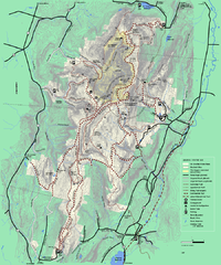
Mt. Greylock State Reservation winter trail map
Winter use trail map of Mt. Greylock State Park in Massachusetts.
1002 miles away
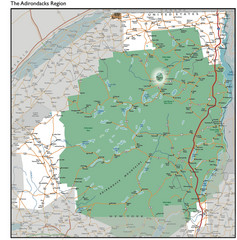
Adirondacks Lakes Map
Guide to lakes and waterways in the Adirondacks Park Preserve
1002 miles away
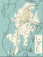
Mt. Greylock State Reservation map
Official summer map of the Mount Greylock State Reservation. At 3,491 feet, Mount Greylock is the...
1002 miles away
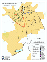
Devils Hophard State Park map
Trail and camprground map for Devils Hopyard State Park in Connecticut.
1003 miles away
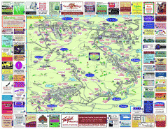
North County Berkshires map
Tourist map of North County - Pittsfield, N. Adams, Adams, Lanesboro, Cheshire, Williamstown...
1003 miles away
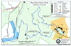
Daypond State Park map
Trail map for Day Pond State Park
1004 miles away

Salmon River State Forest trail map
Trail map for Salmon River State Forest in Connecticut.
1004 miles away
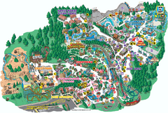
Six Flags Great Escape Theme Park Map
Official Park map of Six Flags Great Escape Theme Park in Lake George, NY.
1004 miles away
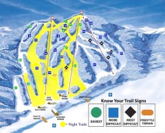
Blandford Ski Trail Map
Official ski trail map of Blandford ski area
1004 miles away
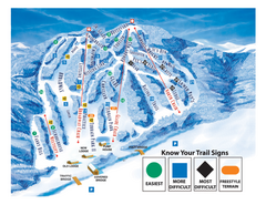
Blandford Ski Area Ski Trail Map
Trail map from Blandford Ski Area.
1004 miles away
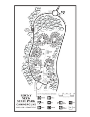
Rocky Neck State Park campground map
Campground map of Rocky Neck State Park in Connecticut.
1005 miles away
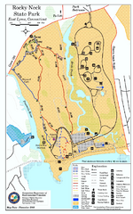
Rocky Neck State Park trail map
Trail map of Rocky Neck State Park in Connecticut.
1005 miles away
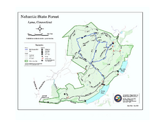
Nehantic State Forest map
Trail map of Nehantic State Forest in Connecticut.
1005 miles away
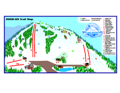
Willard Mountain Ski Area Ski Trail Map
Trail map from Willard Mountain Ski Area.
1006 miles away
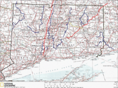
Connecticut Long Distance Trails Map
A map of long distance trails throughout Connecticut. Go to the website below for detailed trail...
1007 miles away
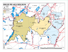
Adirondacks Canoeing Map
Guide to canoeing in the Adirondacks
1008 miles away

Wadsworth Athenium Museum Location Map
Wadsworth Athenium visitor location map with locations of major buildings, streets, parks, and...
1008 miles away
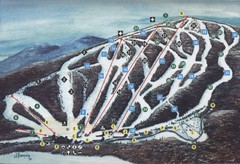
Brodie Ski Trail Map
Trail map from Brodie.
1008 miles away

Eastern Long Island Placemat map
Photo of a placemat map from Gosman's Dock Restaurant in Montauk, NY. Shows eastern Long...
1008 miles away
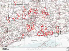
Connecticut Road Cycling Routes Map
A map of road cycling routes throughout Connecticut. Follow the link below for detailed route maps...
1008 miles away
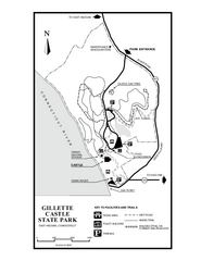
Gillette State Park trail map
Trail map of Gillette Castle State Park in Connecticut.
1009 miles away
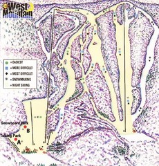
West Mountain Ski Area Ski Trail Map
Trail map from West Mountain Ski Area.
1009 miles away
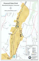
Penwood State Park map
Trail map of Penwood State Park in Connecticut.
1009 miles away
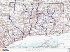
Connecticut Rivers and Coastal Paddling Map
This is a map of paddling areas for rivers and coastal kayaking. Follow the link below for...
1010 miles away
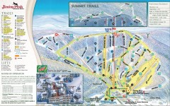
Jiminy Peak Ski Trail Map
Official ski trail map of Jiminy Peak ski area from the 2007-2008 season.
1010 miles away
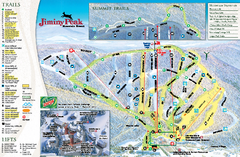
Jiminy Peak Resort Ski Trail Map
Trail map from Jiminy Peak Resort.
1010 miles away
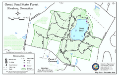
Great Pond State Park trail map
Trail map of Great Pond State Forest in Connecticut.
1010 miles away
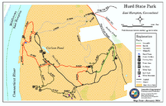
Hurd State Park trail map
Trail map for Hurd State Park in Connecticut.
1011 miles away
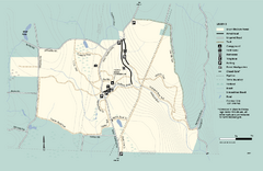
Granville State Forest trail map
Trail map of Granville State Forest in Massachusetts
1011 miles away

