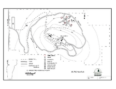
Mt. Philo State Park Campground Map
Campground map for Mt. Philo State Park in Vermont
959 miles away
Okemo Mountain Resort Ski Trail Map
Trail map from Okemo Mountain Resort.
960 miles away
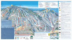
Okemo Ski Trail Map
Ski trail map of Okemo ski area. A James Niehues creation.
960 miles away
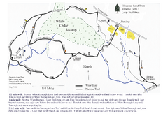
Sprague Farm - Glocester Land Trust Map
960 miles away
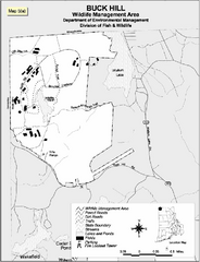
Buck Hill Wildlife Management Area Map
960 miles away

Mine Brook Wildlife Management Area Map
961 miles away
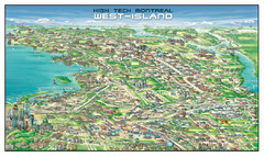
The West-Island Map
Panoramic illustration of High tech business in Montreal's West-Island
961 miles away
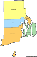
Rhode Island Counties Map
961 miles away
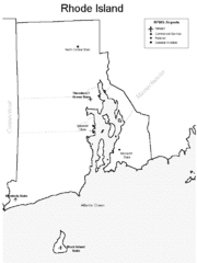
Rhode Island Airports Map
961 miles away
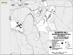
Durfee Hill Wildlife Management Area Map
961 miles away
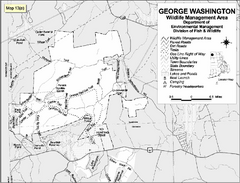
George Washington Wildlife Management Area Map
961 miles away
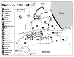
Branbury State Park map
Campground map of Branbury State Park in Vermont
962 miles away
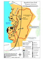
Quaddick State Park Trail Map
963 miles away
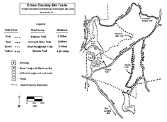
Pulaski State Park Map
963 miles away
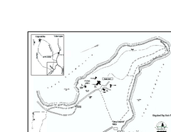
Kingsland Bay State Park Map
Campground map for Kingsland Bay State Park in Vermont
963 miles away
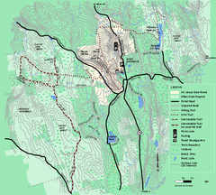
Mt. Grace State Forest trail map
Trail map of Mt. Grace State Forest near Warwick, Massachusetts.
963 miles away
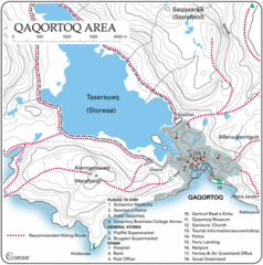
Qaqortoq City Map
Clear map and legend marking facilities, hotels, roads and more in this beautiful city.
965 miles away
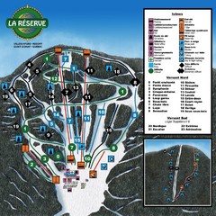
La Resérve Ski Trail Map
Trail map from La Resérve, which provides downhill skiing. This ski area has its own website.
965 miles away
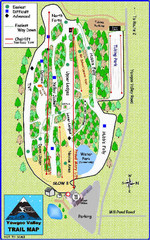
Yawgoo Valley Ski Area Ski Trail Map
Trail map from Yawgoo Valley Ski Area.
966 miles away
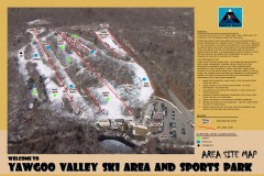
Yawgoo Valley Ski Trail map
Map of Yawgoo Valley Ski area in Exeter, Rhode Island. It is the only skiing resort in Rhode...
966 miles away
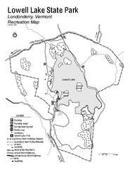
Lowell Lake State Park map
Campground map for Lowell Lake State Park in Vermont
966 miles away
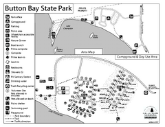
Button Bay State Park Campground Map
Campground map of Button Bay State Park in Vermont
966 miles away
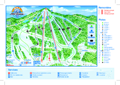
Mont Garceau Ski Trail Map
Trail map from Mont Garceau, which provides downhill and nordic skiing. This ski area has its own...
966 miles away
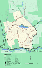
Erving State Park winter use map
Winter use map of the Erving State Park in Massachusetts
967 miles away
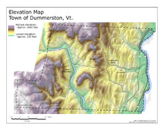
Elevation Map of Dummerston, Vermont
This Hypsometric map is a map that distinguishes elevations progression within a specific...
967 miles away
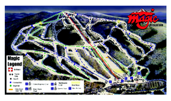
Magic Mountain Ski Trail map
Official ski trail map of Magic Mountain ski area from the 2006-2007 season.
967 miles away
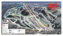
Magic Mountain Ski Trail Map
Trail map from Magic Mountain.
967 miles away
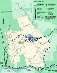
Erving Summer trail map
Summer use map of Erving State Park in Massachusetts.
967 miles away
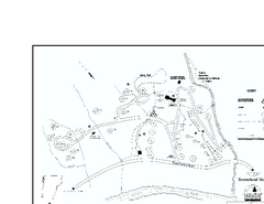
Townshend State Park Campground Map
Campground map of Townshend State Park in Vermont
968 miles away
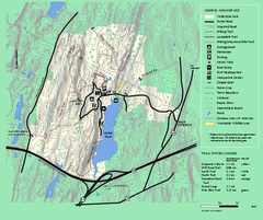
Wells State Park trail map
Trail map of Wells State Park in Massachusetts.
968 miles away
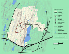
Wells State Park winter trail map
Winter use trail map of Wells State Park in Massachusetts.
968 miles away
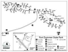
Fort Dummer State Park Campground Map
Campground map of Fort Dummer State Park in Vermont
968 miles away
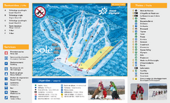
Mont Olympia Ski Trail Map
Trail map from Mont Olympia, which provides downhill skiing. This ski area has its own website.
969 miles away
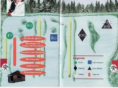
Les Cotes 40/80 Ski Trail Map
Trail map from Les Cotes 40/80.
969 miles away
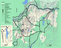
Wendell State Forest trail map
Trail map of Wendell State Forest in Massachusetts.
969 miles away
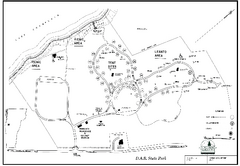
D.A.R. State Park map
Map of D.A.R. State park in Vermont
969 miles away
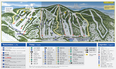
Mont Avila Ski Trail Map
Trail map from Mont Avila, which provides downhill skiing. This ski area has its own website.
970 miles away
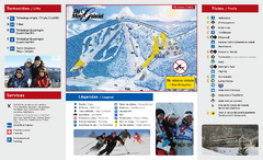
Mont Gabriel Ski Trail Map
Trail map from Mont Gabriel, which provides downhill skiing. This ski area has its own website.
970 miles away
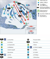
Le Chantecler Ski Trail Map
Trail map from Le Chantecler, which provides downhill skiing. This ski area has its own website.
970 miles away
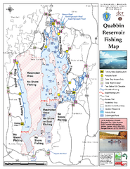
Quabbin Reservoir Fishing Map
Fishing access map of Quabbin Reservoir. Shows all ponds and submerged ponds.
970 miles away

