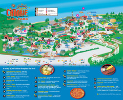
Canobie Lake Park Map
886 miles away
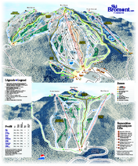
Ski Bromont Ski Trail Map
Trail map from Ski Bromont, which provides downhill skiing. This ski area has its own website.
887 miles away
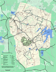
Wompatuck State Park trail map
Trail map of Wompatick State Park in Massachusetts.
887 miles away
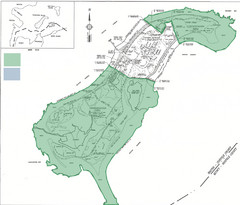
Thompson Island Easement Map
Map of Thompson Island easement. Includes roads, buildings, trails and attractions as well as the...
887 miles away
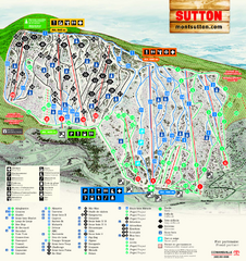
Mont Sutton Ski Trail Map
Trail map from Mont Sutton, which provides downhill skiing. This ski area has its own website.
887 miles away
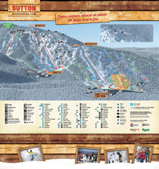
Mont Sutton Trail map
887 miles away
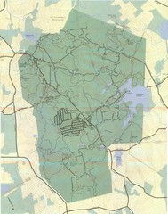
Wompatuck Park Trail Map
Map of Wompatuck Park including trails and roads and park features
888 miles away
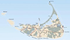
Tourist Map of Nantucket Island
Tourist map of Nantucket Island. Shows all towns and information.
888 miles away
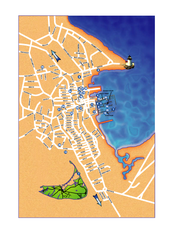
Nantucket Town Street Map
Tourist map of town of Nantucket on Nantucket Island. Shows major streets and points of interest...
888 miles away
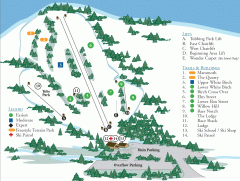
McIntyre Ski Trail Map
Official ski trail map of McIntyre ski area.
888 miles away
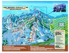
Jay Peak Ski Trail Map
Trail map from Jay Peak.
889 miles away
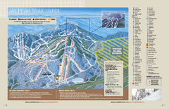
Jay Peak Ski Trail Guide Map
Official ski trail map of Jay Peak ski area from the 2006-207 season.
889 miles away
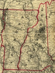
Map of New Hampshire and Vermont 1860
Map of New Hampshire and Vermont, 1860
889 miles away
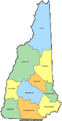
New Hampshire Counties Map
889 miles away
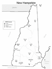
New Hampshire Airports Map
889 miles away
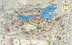
St. Paul's School Campus Map
Campus map of St. Paul's School
889 miles away
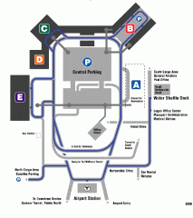
Boston/General Edward Lawrence Logan...
Terminal map of Boston/General Edward Lawrence Logan International Airport. Shows all areas.
889 miles away
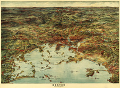
Walker's Map of Boston Harbor and Environs...
Walker's map of Boston Harbor and immediate environs from 1905.
890 miles away
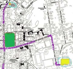
Manchester, New Hampshire City Map
890 miles away
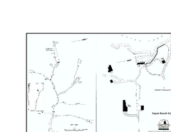
Seyon Lodge State Park Map
Campground map of Seyon Lodge State Park in Vermont
890 miles away
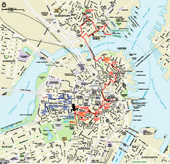
Boston National Historical Park Official Park Map
Official NPS map of Boston National Historical Park in Boston, Massachusetts. From park brochure...
891 miles away
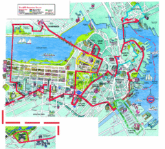
Boston Beantown Trolley Route Map
Route Map for the Boston Beantown trolley. Shows the trolley route, all stops, and a colorful...
891 miles away
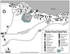
Ricker Pond State Park Campground Map
Campground map of Ricker Pond State Park in Vermont
891 miles away
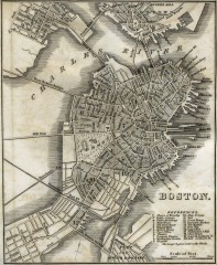
Antique map of Boston from 1842
Antique map of Boston from Tanner, H.S. The American Traveller; or Guide Through the United States...
891 miles away
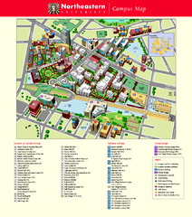
Northeastern University Map
Northeastern University Campus Map. All areas shown.
891 miles away
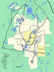
Myles Standish State Forest Winter trail map
Myles Standish State Forest winter use trail map.
891 miles away
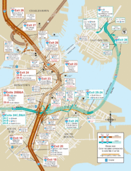
I-93 & I-90 Boston Map
Detail of exits and on-ramps for downtown Boston.
892 miles away
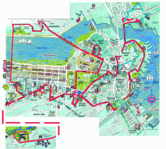
Boston 'Beantown Trolley' map
Tourist map of Boston, Mass. showing route of the Beantown Trolley, various points of interest and...
892 miles away
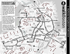
Walking Map of Boston, Massachusetts
Tourist map of Boston, Massachusetts, showing walking routes and times, as well as museums, squares...
892 miles away
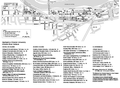
Boston University Charles River Campus Map
Campus map of Boston University. Charles River Campus. All areas shown.
892 miles away
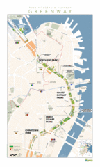
Rose Fitzgerald Kennedy Greenway Map
Boston's extensive heritage of parklands and common ground includes the Emerald Necklace...
892 miles away
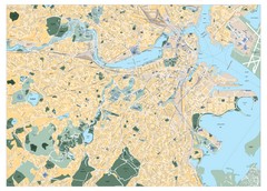
Boston, Massachusetts City Map
892 miles away
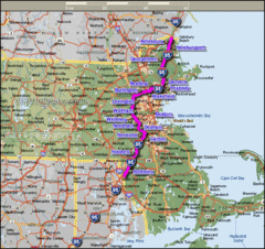
Interstate 95 Cities in Massachusetts Map
892 miles away
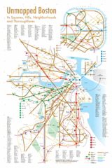
Boston Neighborhood Map
892 miles away
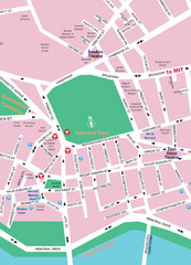
Boston Neighborhood Map
892 miles away
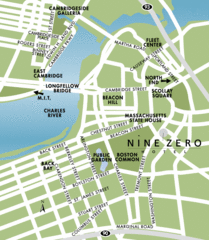
Central Boston Tourist Map
892 miles away
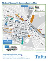
Medford Campus Map
Clear map indicating buildings and parking areas.
892 miles away

