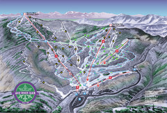
Mad River Glen Ski Trail Map
Trail map from Mad River Glen, which provides downhill skiing. It has 5 lifts servicing 45 runs...
958 miles away
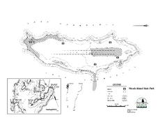
Woods Island State Park Campground Map
Campground map of Woods Island State Park in Vermont
958 miles away
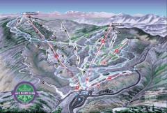
Mad River Glen Ski Area Trail Map
Official ski trail map of Mad River Glen ski area from the 2006-207 season.
958 miles away
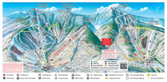
Sugarbush Resort Ski Trail Map
Trail map from Sugarbush Resort.
958 miles away
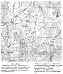
Trout Brook Conservation Area Map
958 miles away
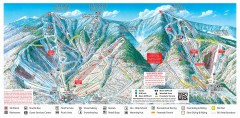
Sugarbush Resort ski trail map 2006-07
Official ski trail map of Sugarbush ski area from the 2006-2007 season.
959 miles away
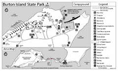
Burton Island State Park map
Campground map of Burton Island State Park in Vermont
959 miles away
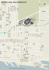
Hochelaga-Maisonneuve Map
959 miles away
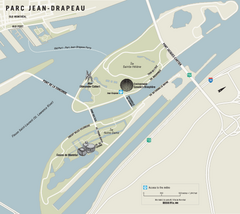
Parc Jean Drapeau Map
Park map of Parc Jean Drapeau in the St. Lawrence River, Montreal
959 miles away
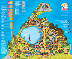
Six Flags La Ronde Theme Park Map
Official Park Map of Six Flags La Ronde Theme Park in Montreal, Quebec.
959 miles away
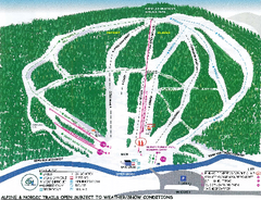
Granite Gorge Ski Trail Map
Trail map from Granite Gorge. This ski area opened in 2005.
960 miles away
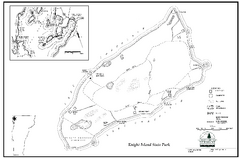
Knight Island State Park Campground Map
Map of Knight Island State Park in Vermont
960 miles away
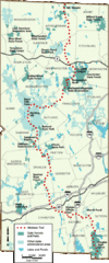
Midstate Trail Map
Map of the Midstate Trail, which runs from Ashburnham to the Rhode Island border. Shows state...
960 miles away
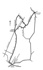
30K Race Course Map
Green Mountain Athletic Association Common to Common 30K Course Map in Essex Junction, VT
960 miles away
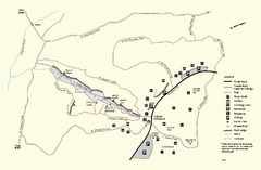
Purgatory Chasm State Reservation trail map
Trail map of Purgatory Chasm State Reservation in Massachusetts.
960 miles away
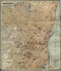
Antique map of Montreal from 1894
"Montreal" from Baedeker, Karl. The Dominion of Canada with Newfoundland and an Excursion...
960 miles away
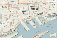
Old Montreal and Old Port Bike Map
Bike route map of Old Montreal and Old Port area
961 miles away
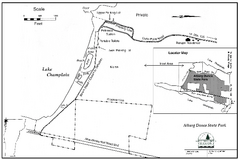
Alburg Dunes State Park map
Map of Alburg Dunes State Park in Vermont.
961 miles away
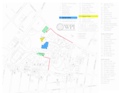
Worcester Polytechnic Institute Campus Map
Map of Worcester Polytechnic Institute. Includes all buildings, parking, streets, and location of...
961 miles away
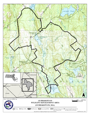
Hubbardston WMA Map
961 miles away
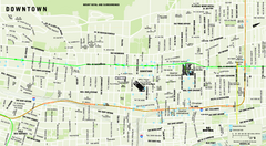
Downtown Montreal Map
Street map of central Montreal. Shows access to the metro and commuter train
961 miles away
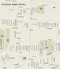
Plateau Mont Royal Map
961 miles away
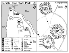
North Hero State Park Campground Map
Campground map of North Hero in Vermont
961 miles away
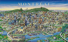
montreal Downtown Map
961 miles away
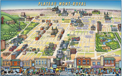
Plateau Mont-Royal Map
Pictorial view of Plateau Mont-Royal
962 miles away
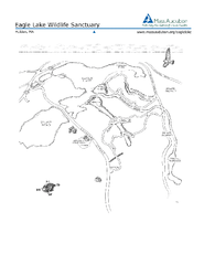
Eagle Lake Conservation Area Map
962 miles away
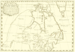
North America Latitude 40 to 68 Degrees Map, 1744
Physical map shows part of North America between latitudes of 40 to 68 degrees.
962 miles away
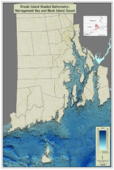
Rhode Island Shaded Bathymetry Map
Bathymetric map of Rhode Island with Narrangansett Bay and Rhode Island Sound. Graduated...
962 miles away
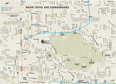
Mount Royal and Surroundings Map
962 miles away
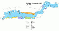
Burlington International Airport Terminal Map
Official Terminal Map of Burlington International Airport. All areas shown.
963 miles away
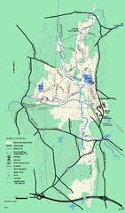
Otter River State Forest winter trail map
Winter usage trail map for Otter River State Park in Massachusetts.
963 miles away
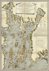
Narrangansett Bay Map 1777
"A Topographical CHART of the BAY of NARRAGANSET in the Province of NEW ENGLAND. with the...
963 miles away
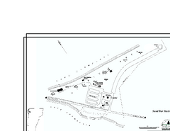
Sand Bar State Park Map
Campground map of Sand Bar State Park in Vermont
963 miles away
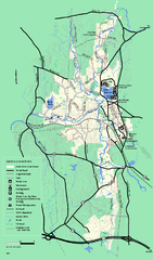
Otter River State Forest summer trail map
Summer trail map of the Otter River State Forest area in Massachusetts.
963 miles away
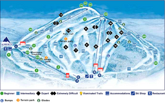
Val Saint-Come Ski Trail Map
Trail map from Val Saint-Come, which provides downhill skiing. This ski area has its own website.
963 miles away
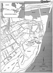
Quebec Tourist Map
963 miles away
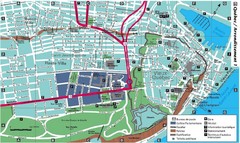
Quebec Tourist Map
963 miles away
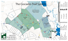
Cascades Park Map
963 miles away
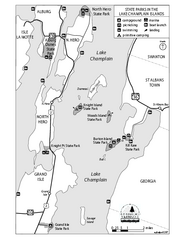
State Parks of the Champlain Islands Map
Map of the various State Parks of the Inland Sea / Lake Champlain area in Vermont
963 miles away
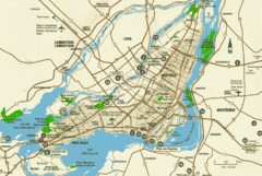
Montreal Tourist Map
964 miles away

