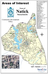
Natick Areas Of Interest Map
Shows points of interest in town of Natick, Massachusetts. Inset of downtown Natick.
940 miles away
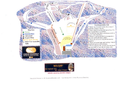
Arrowhead Arrowhead Ski Trail Map
Trail map from Arrowhead.
940 miles away
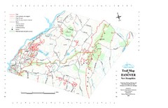
Hanover Trail Map
Recreation trails in Hanover
941 miles away
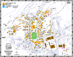
Dartmouth College campus map
Map of Dartmouth College. Shows all academic, administration, residential, and athletic buildings.
941 miles away
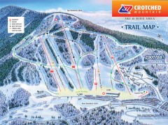
Crotched Mountain Ski Trail Map
Official ski trail map of Crotched Mountain ski area from the 2007-2008 season.
941 miles away
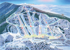
Crotched Mountain Ski Trail Map
Trail map from Crotched Mountain.
941 miles away
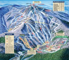
Mt. Sunapee Ski Trail Map
Official ski trail map of Mt. Sunapee ski area from the 2007-2008 season.
941 miles away
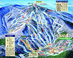
Mount Sunapee Ski Area Ski Trail Map
Trail map from Mount Sunapee Ski Area.
942 miles away
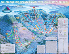
Smugglers’ Notch Resort Ski Trail Map
Trail map from Smugglers’ Notch Resort.
943 miles away
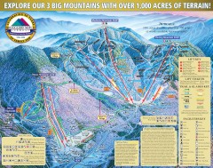
Smugglers' Notch Ski Trail map 2006-07
Official ski trail map of Smugglers' Notch (Smuggs) ski area from the 2006-2007 season.
943 miles away
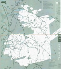
Freetown State Forest Map
Freetown State Forest Map showing mountain biking trails
943 miles away
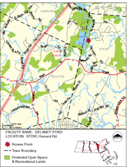
Delaney Conservation Land Map
943 miles away
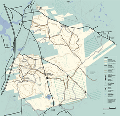
Freetown-Fall River State Forest trail map
Trail map of Freetown-Fall River State Forest in Massachusetts
943 miles away
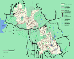
Callahan State Park trail map
Trail map of Callahan State Park in Massachusetts
944 miles away
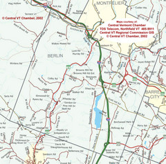
Berlin, Vermont Guide Map
944 miles away
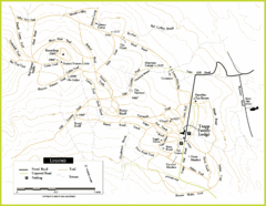
Trapp Ski Center Trail Map
Map of trails in the ski center at the Trapp Family Lodge
944 miles away
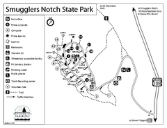
Smugglers Notch State Park Campground Map
Campground map of Smugglers Notch State Park in Vermont
944 miles away
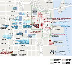
New Bedford Whaling National Historical Park...
Official NPS map of New Bedford Whaling National Historical Park in Massachusetts. Map shows all...
944 miles away
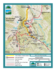
Smugglers Notch Trail Map
Trail map for Smugglers Notch State Park in Vermont
944 miles away
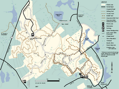
F. Gilbert Hills State Forest trail map
F. Gilbert Hills State Forest trail map in Massachusetts.
944 miles away
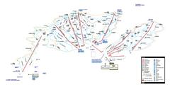
Stowe Mountain Resort Ski Trail Map
Trail map from Stowe Mountain Resort, which provides downhill, nordic, and terrain park skiing. It...
944 miles away
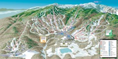
Stowe ski trail map 2006-07
Complete ski trail map of Stowe Mountain resort for 2006-2007 season.
944 miles away
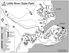
Little River State Park Campground Map
Campground map of Little River State Park in Vermont
945 miles away
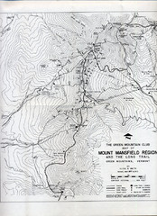
Mount Mansfield Map
Long Trail map for Green Mountains in Vermont
945 miles away
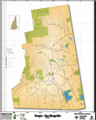
Temple NH Topo Map
Topographical map of Temple, NH area. Shows all roads and points of interest.
946 miles away
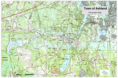
Ashland, MA - Topo Map
Map is provided by the town of Ashland, MA. See town's website for additional maps and...
946 miles away
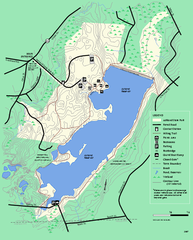
Ashland State Park Map
Map of Ashland State Park in Massachusetts.
946 miles away
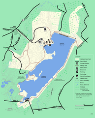
Ashland State Park Map
Clear map and legend marking trails, parking, facilities and more.
946 miles away
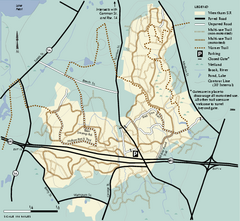
Wrentham State Forest trail map
Trail map of Wrentham State Forest in Massachusetts.
946 miles away
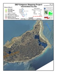
Nashawena Island Eelgrass Map
947 miles away
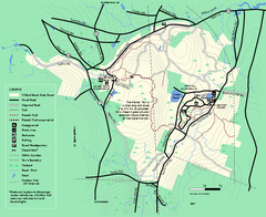
Willard Brook State Forest trail map
Trail map of Willard Brook State Forest in Massachusetts.
947 miles away

Camp Morgan Trail Map
947 miles away
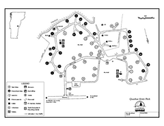
Quechee State Park map
Campground map for Quechee Gorge State Park in Vermont
948 miles away
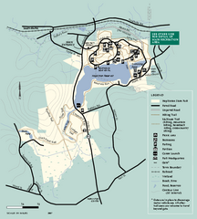
Hopkinton State Park trail map
Trail map of Hopkinton State Park in Massachusetts
948 miles away
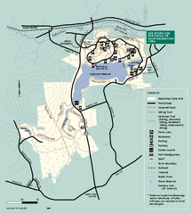
Hopkinton State Park trail map
Trail map of Hopkinton State Park in Massachusetts
948 miles away
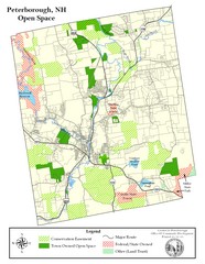
Peterborough Open Space Map
Map of open space lands in Peterborough, New Hampshire
949 miles away
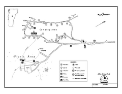
Allis State Park campground map
Campground map of Allis State Park in Vermont.
949 miles away
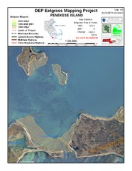
Penekese Island Eelgrass Map
949 miles away
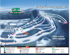
Mont Saint-Bruno Ski Trail Map
Trail map from Mont Saint-Bruno, which provides downhill skiing. This ski area has its own website.
949 miles away

