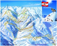
Saalbach and Hinterglemm Ski Trail map
Official ski trail map of Saalbach and Hinterglemm area from the 2006-2007 season. In German.
302 miles away
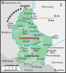
Luxembourg Map
302 miles away
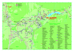
St. Ulrich am Pillersee Map
Village map of St. Ulrich am Pillersee, Austria
303 miles away
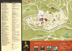
Urbino Map
303 miles away
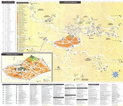
Urbino Map
303 miles away
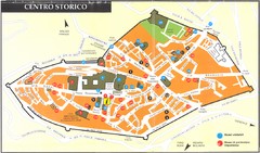
Urbino centro Map
303 miles away
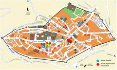
Urbino centro storico Map
303 miles away
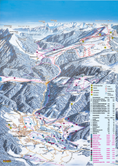
Reit im Winkl Ski Trail Map
Trail map from Reit im Winkl.
303 miles away
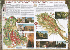
Sorano. Parco archeologico "Citta del tufo...
303 miles away
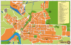
Umbertide Tourist Map
Tourist map of Umbertide, Italy. Shows major buildings and points of interest are labeled. In...
304 miles away
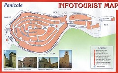
Panicale Tourist Map
Tourist map of small town of Panicale, Italy. Shows major buildings. In Italian. Scanned.
304 miles away
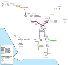
Los Angeles, California Rail System Map
304 miles away
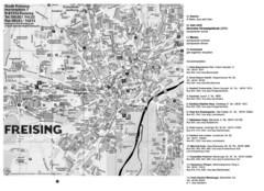
Freising City Map
304 miles away

Bad Münster am Stein-Ebernburg Tourist Map
Tourist street map of Bad Münster am Stein-Ebernburg
304 miles away
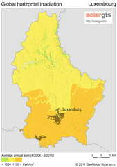
Solar Radiation Map of Luxembourg
Solar Radiation Map Based on high resolution Solar Radiation Database: SolarGIS. On the Solar Map...
305 miles away
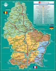
Luxembourg Tourism Map
Tourist Map of Luxembourg showing major roads, railways, and tourist attractions.
305 miles away
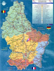
Luxembourg Tourist Map
Tourist map of the country of Luxembourg. Shows points of interest and activity icons. In French...
305 miles away
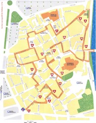
Perigueux - renaissance Map
305 miles away
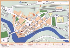
Fermignano Map
305 miles away
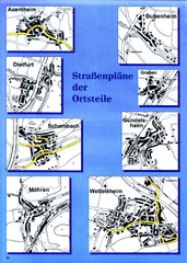
Treuchtlingen Districts Map
Street map of districts within the Treuchtlingen region
305 miles away
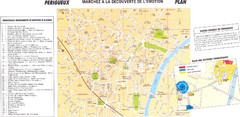
Perigueux Map
305 miles away
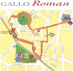
Perigueux - roman Map
305 miles away
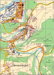
Pappenheim Map
Street map of Pappenheim
305 miles away
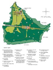
Chiemsee Island Germany Tourist Map
Tourist map of the island showing all the tourist sites.
307 miles away
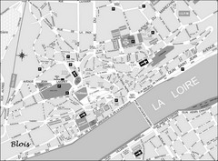
Blois Street Map
307 miles away
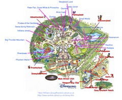
Disneyland Paris Guide Map
Locations and attractions at Disneyland Paris.
307 miles away
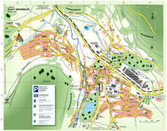
Amorbach Tourist Map
Tourist map of Amorbach
308 miles away
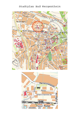
Bad Mergentheim Map
Street map of Bad Mergentheim
308 miles away
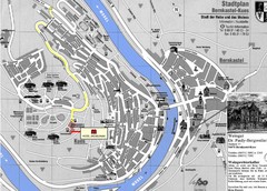
Bernkastel City Map
City map of Bernkastel-Kues with hotels and attractions
309 miles away
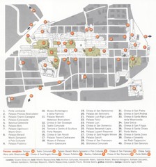
Cagli Map
309 miles away
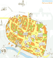
Herrieden Map
Street map of town center of Herrieden
309 miles away

Pesaro Map
310 miles away
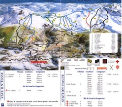
Camurac Ski Trail Map
Trail map from Camurac.
311 miles away

Oppenheim Map
Street map of city of Oppenheim
311 miles away
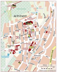
Oppenheim Altstadt Map
Street map of Altstadt area Oppenheim
311 miles away
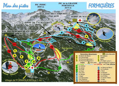
Formiguères Ski Resort Map
Ski Resort map for Formiguères resort in France. Ski runs, lifts and amenities identified...
312 miles away

Gubbio Map
313 miles away
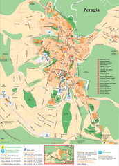
Perugia Tourist Map
Tourist map of Perugia, Italy. Shows points of interest.
313 miles away
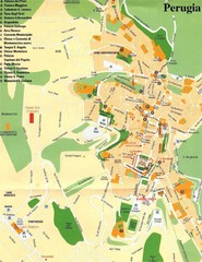
Perugia Tourist Map
Tourist map of central Perugia, Italy, the capital of Umbria. Shows points of interest and hotels...
313 miles away
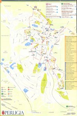
Perugia Map
313 miles away

