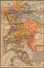
Germany Italy 1803 Map
Germany and Italy in 1803 after the Principle Decree of the Imperial Deputation
252 miles away

Wuerttembergische Landeskirche Map
Karte der Evang. Landeskirche in Wuerttemberg, The Evangelical-Lutheran Church in Wuerttemberg
252 miles away
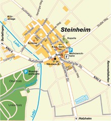
Ulm Steinheim Map
Street map of town of Ulm Steinheim
252 miles away

Stuttgart, Nahverkehr Map
252 miles away
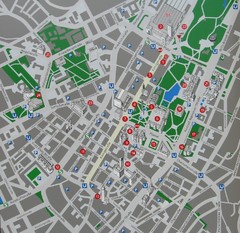
Stuttgart Tourist Map
Tourist street map of Stuttgart center
252 miles away
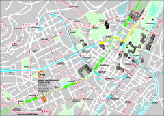
Stuttgart Street Map
Street map of Stuttgart, Germany. Show major buildings and public transport routes.
252 miles away
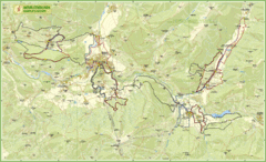
Nature Fitness Park in Kronplatz Dolomiti Map
Panoramic map of Nature Fitness Park in Dolomites. The park is very well signposted and its trails...
253 miles away
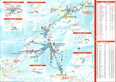
Plande Corones Ski Trail Map
254 miles away
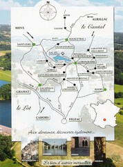
Southern France Tourist Map
Hand drawn map of an area of southern France with pictures and cities shown.
254 miles away
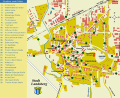
Landsberg Tourist Map
tourist map of town of Landsberg
254 miles away
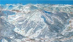
Plan de Corones Ski Trail Map
Trail map from Plan de Corones.
255 miles away
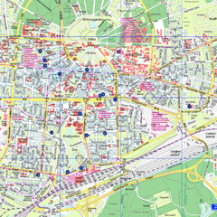
Karlsruhe Tourist Map
Tourist map of Karlsruhe
255 miles away
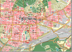
Karlsruhe Map
City street map of Karlsruhe
255 miles away
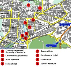
Karlsruhe Hotel Map
255 miles away
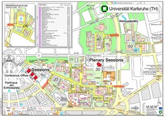
Karlsruhe University Campus Map
Campus map of Universität Karlsruhe, the oldest Technical University in Germany, founded in...
255 miles away
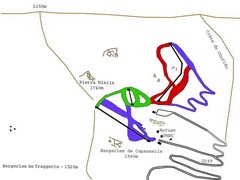
Ghisoni Ski Trail Map
Trail map from Ghisoni.
257 miles away
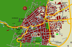
Bad Bergzabern Tourist Map
Tourist street map of Bad Bergzabern
257 miles away
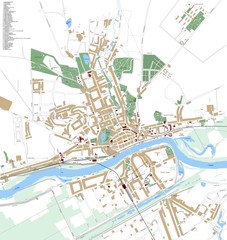
Landsberg Map
Street map of city of Landsberg
257 miles away
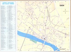
Gien Map
258 miles away
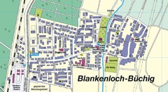
Buechig Map
Street map of town of Buechig
259 miles away
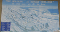
La Vallee des jeux Les Rousses Haut—Jura...
Trail map from La Vallee des jeux.
259 miles away
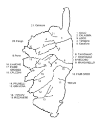
Corsica River Map
259 miles away
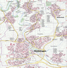
Waiblingen Map
City map of Waiblingen and surrounding region
259 miles away
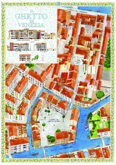
the old jewish ghetto of venezia Map
a bird's eye view of the ghetto of venezia.
259 miles away
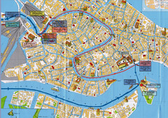
Venice Tourist Map
260 miles away
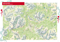
Cortina d'Ampezzo Hiking Map
Summer hiking map of the Cortina d'Ampezzo, Italy area in the heart of the Dolomite Mountains...
260 miles away
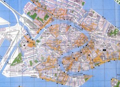
Venice Italy Tourist Map
Map of Venice, Italy showing tourist sites, plazas and churches.
260 miles away
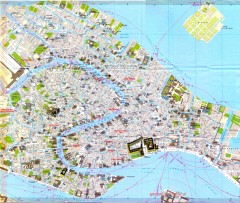
Venice Street Map
Detailed street map of Venice, Italy showing major landmarks, canals, and buildings.
260 miles away
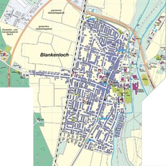
Blankenloch Map
Street map of town of Blankenloch
260 miles away
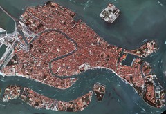
Venice Aerial Map
Aerial map of Venice, Italy. Shows points of interest.
260 miles away
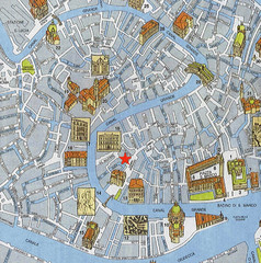
Venice Guide Map
260 miles away
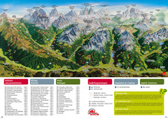
Alta Pusteria Summer Map
Panoramic summer hiking map of the Alta Pusteria, Italy, in the South Tyrol. Shows towns...
260 miles away
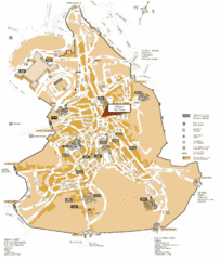
Siena Tourist Map
Tourist map of Siena, Italy. Show streets and points of interest.
260 miles away
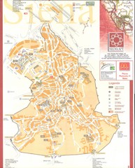
Siena Map
261 miles away
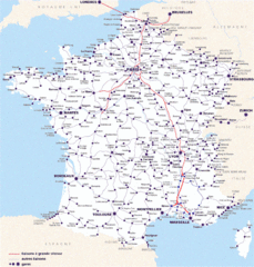
Map of SNCF National Railway Network in France
A SNCF map (Société Nationale des Chemins de Fer) showing the French train System...
261 miles away
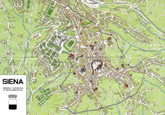
Siena Map
261 miles away
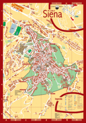
Siena Tourist Map
Tourist map of central Siena, Italy in Tuscany. Shows points of interest.
261 miles away
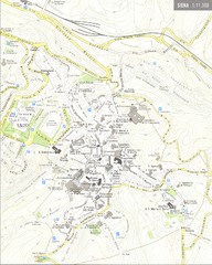
Siena Map
261 miles away
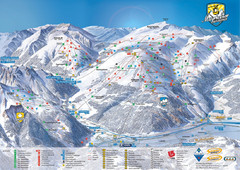
Mayrhofen Ski Trail Map
Ski trail map of Mayrhofen ski area in Austria.
261 miles away

