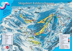
Balderschwang Balderschwang Ski Trail Map
Trail map from Balderschwang.
204 miles away
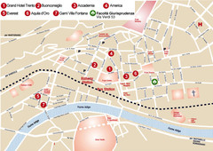
Trento center Map
204 miles away
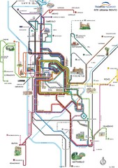
Trento Bus Route Map (Italian)
204 miles away
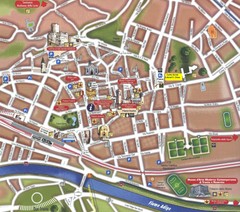
Trento Tourist Map
Tourist map of central Trento, Italy. Shows major buildings.
204 miles away
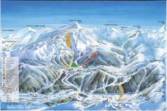
Super Lioran Ski Trail Map
Trail map from Super Lioran.
204 miles away
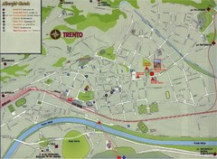
Trento Map
205 miles away
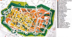
Lucca Italy Tourist Map
206 miles away
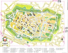
Lucca Map
206 miles away
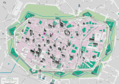
Lucca Tourist Map
Tourist map of walled town of Lucca, Italy. Shows major buildings.
206 miles away

Lucca Map
206 miles away
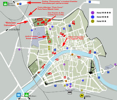
Pisa Map
City map of Pisa, the famed city of the Leaning Tower of Pisa with beautiful views and recreational...
206 miles away
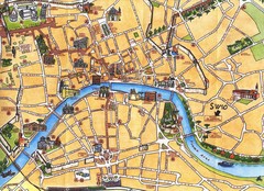
Pisa Tourist Map
Tourist map of Pisa, Italy. Shows major buildings.
207 miles away
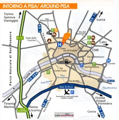
Pisa Around Map
207 miles away
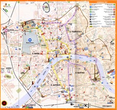
Pisa Map
207 miles away
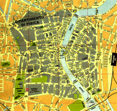
Pisa Town Map
Map of Pisa town centre and University of Pisa
207 miles away
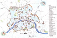
Pisa major monuments Map
207 miles away
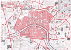
Pisa Map
207 miles away
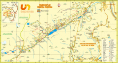
Ultental Deutschnonsberg St. Walburg Tourist Map
Tourist map of the southern Tyrol region around Ultental, Deutschnonsberg, and St. Walburg/ S...
207 miles away
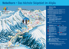
Oberstdorf Ski Trail Map
Trail map from Oberstdorf.
207 miles away
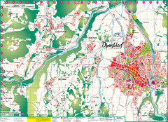
Oberstdorf City Map
City map of Oberstdorf, Germany and surrounding area. Shows buildings and ski lifts. In German.
207 miles away
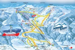
Bolsterlang Ski Trail Map
Trail map from Bolsterlang.
208 miles away
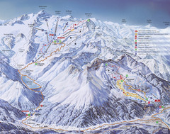
Kaunertal Ski Trail Map
Trail map from Kaunertal.
209 miles away

Alsace - Bas Rhin Map
209 miles away
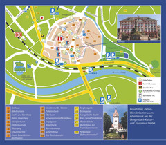
Gengenbach Tourist Map
Tourist map of Gengenbach
210 miles away
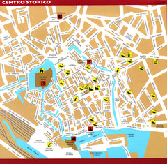
Livorno Tourist Map
Tourist map of historical center of Livorno, Italy. Shows tourist points of interest.
210 miles away
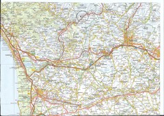
Northwest Tuscany Area Map
Scan of road map of northwestern Tuscany showing Pisa, Lucca, and Pistoia areas.
214 miles away
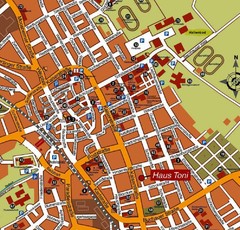
Bad Saulgau Tourist Map
Tourist street map of Bad Saulgau town center
214 miles away
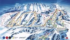
Oberjoch-Unterjoch Ski Trail Map
Trail map from Oberjoch.
214 miles away
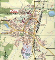
Aulendorf Map
Street map of city of Aulendorf
214 miles away
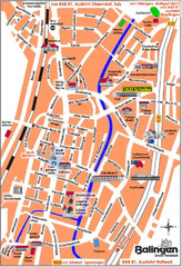
Balingen Tourist Map
Tourist street map of Balingen center
215 miles away
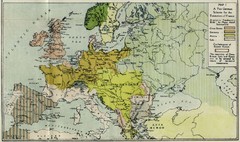
Extinction of France Map 1918
Shows pan-German scheme for the Extinction of France, 1918. As given in "Frankreich's...
215 miles away
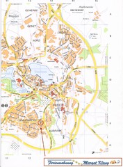
Bad Waldsee Map
Street map of Bad Waldsee
216 miles away
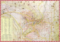
Merano Map
218 miles away
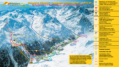
Pfelders Ski Trail Map
Trail map from Pfelders, which provides downhill and nordic skiing. This ski area has its own...
218 miles away
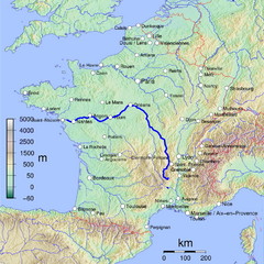
France Map with river Loire Highlighted
Map of France with river Loire higlighted.
218 miles away

Lauterbad, Germany Map
219 miles away
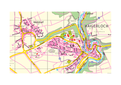
Haigerloch & Weildorf Map
Map of Haigerloch / Weildorf area
219 miles away

