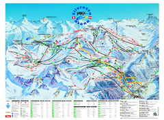
Ischgl – Galtur Ski Trail Map
Trail map from Ischgl – Galtur.
184 miles away
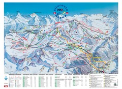
Ischgl – Galtur Ski Trail Map
Trail map from Ischgl – Galtur.
184 miles away
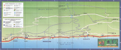
Brenzone Map
184 miles away
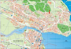
Konstanz City Map
185 miles away
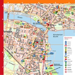
Konstanz Tourist Map
Tourist map of Konstanz
185 miles away

Sulden Trafoi Summer Hiking Map
Summer hiking route map of Sulden (Solda) Italy, Trafoi, Italy and Stelvio, Italy. Shows hiking...
185 miles away
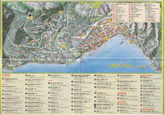
Limone sul garda Map
186 miles away
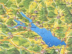
Lake Konstanz Map
186 miles away
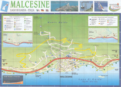
Malcesine Map
187 miles away
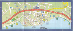
Malcesine Map
187 miles away

Mantova Map
187 miles away
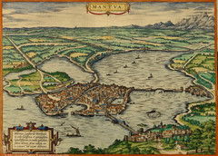
Mantua City Map 1575
Panoramic view of Mantua (Mantova), Italy from Braun and Hogenberg Civitates Orbis Terrarum Volume...
187 miles away
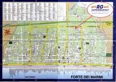
Forte dei Marmi-map Map
187 miles away

Sulden Ski Trail Map
Ski trail map of Sulden (Solda), Italy in the Ortler Alps. Shows trails and lifts.
189 miles away
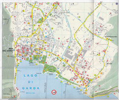
Riva del Garda Map
189 miles away
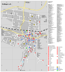
Endingen Tourist Map
Tourist street map of Endingen center
190 miles away

Ribeauville Map
190 miles away
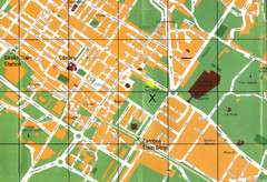
Sesto Map
191 miles away
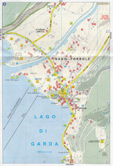
Nago-Torbole Map
191 miles away
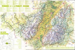
Vosges panorama Map
191 miles away
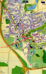
Bad Durrheim Map
Street map of Bad Durrheim
193 miles away
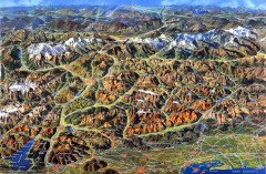
Eastern Alps Italy and Austria Overview Map
Panoramic map of the mountains and towns of northern Italy, the Tyrol, and southern Austria
193 miles away
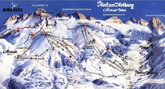
Arlberg – St Anton Ski Trail Map
Trail map from Arlberg – St Anton.
193 miles away
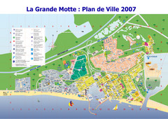
La Grande Motte Tourist Map
Tourist map of La Grande Motte, France. Shows beaches, hotels, and other points of interest.
194 miles away

Alsace - Route du Vin Map
194 miles away
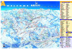
St Anton Region Ski map
Panoramic ski map covers St. Anton, St. Christoph, St. Jakob, Stuben, Zurs, Zug, Lech, and Oberlech...
194 miles away
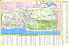
Viareggio Map
194 miles away
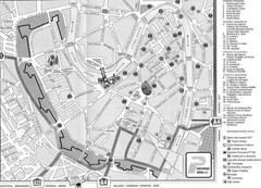
Verona Tourist Map
Tourist city map of Verona
195 miles away
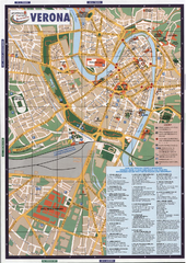
Verona Tourist Map
Tourist map of Verona, Italy. Shows points of interest.
195 miles away
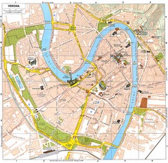
Verona Italy Tourist Map
Tourist map of Verona, Italy showing tourist sites, roads and parks.
195 miles away
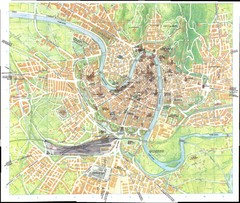
Verona Map
195 miles away
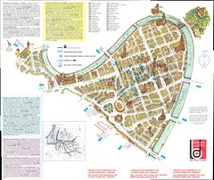
Verona centro Map
195 miles away
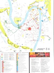
Verona centro Map
195 miles away
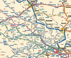
Montpellier City Tourist Map
Tourist map of Montpellier
195 miles away
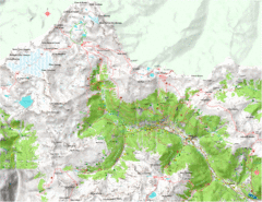
Val di Rabbi Topo Map
Detailed topographic map of Val di Rabbi, Italy on the edge of Stelvio National Park
197 miles away
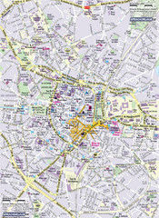
Montpellier Tourist Map
Tourist map of Montpellier, France. Shows points of interest.
199 miles away
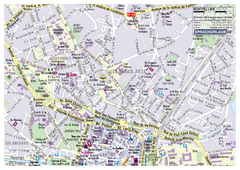
Montpellier Tourist Map
Tourist street map of Montpellier
199 miles away
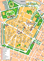
Modena Tourist Map
Tourist map of center of Modena, Italy. Shows points of interest.
201 miles away

Western Strasbourg Tourist Map
201 miles away
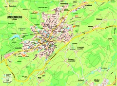
Lindenberg im Allgäu Map
Street map of Lindenberg
203 miles away

