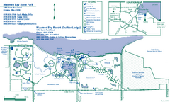
Maumee Bay State Park Map
339 miles away
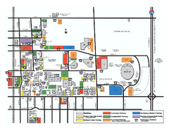
Bowling Green State University - Main Campus Map
Bowling Green State University - Main Campus Map. All buildings shown.
340 miles away
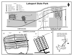
Lakeport State Park, Michigan Site Map
340 miles away
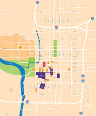
Indianapolis Center Map
Map of Indianapolis downtown center
341 miles away
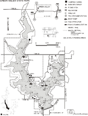
Green Valley State Park Map
Map of trails, lake depths, fishing spots and park facilities for Green Valley State Park.
342 miles away
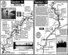
Indianapolis, IN White River West Fork Map
This is a page from the White River Guidebook. The map shows important information for boaters and...
342 miles away
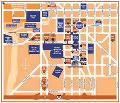
Downtown Indianapolis Map
342 miles away
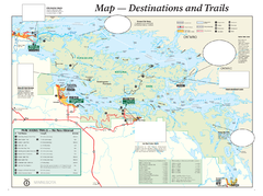
Voyageurs National Park Official Park Map
Official NPS map of Voyageurs National Park in Minnesota. Map shows all areas and hiking trails...
343 miles away
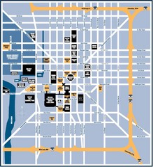
Indianapolis Tourist Map
343 miles away

Ontario Regional Trail Committee Boundaries Map
Sources: TCT, DMTI Spatial., MNR Projection: UTM, NAD83. Produced by the TCT in Montreal, October...
343 miles away
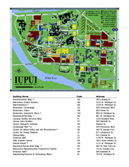
Indiana University Purdue University Indianapolis...
Campus Map of Indiana University Purdue University Indianapolis. All areas shown.
343 miles away
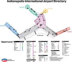
Indianapolis International Airport Terminal Map
Official map of Indianapolis International Airport. Shows all Upper Level Terminals.
343 miles away
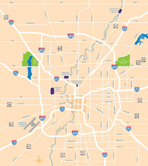
Indianapolis Map
Map of Indianapolis are
343 miles away
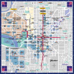
Downtown Indianapolis Map
This large map of downtown Indianapolis.
343 miles away
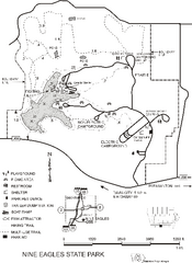
Nine Eagles State Park Map
Map of trails, lake depth and park facilities in Nine Eagles State Park.
343 miles away
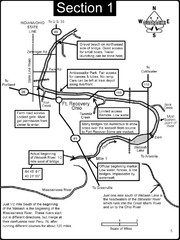
Fort Recovery, OH & beginning of the Wabash...
This is a page from the Wabash River Guidebook. The map shows important information for boaters and...
344 miles away
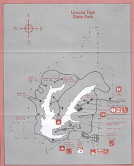
Lincoln Trail State Park, Illinois Site Map
344 miles away
Val Chatel Ski Trail Map
Trail map from Val Chatel, which provides downhill and nordic skiing. This ski area opened in 1953.
345 miles away
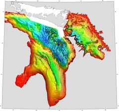
Lake Huron Depths Map
345 miles away
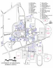
University of Minnesota Morris Campus Map
University of Minnesota Morris Campus map. Description off all buildings, streets and parking lots...
345 miles away
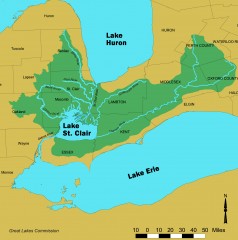
Lake St. Clair/St. Clair River watershed Map
Shows the Lake St. Clair/St. Clair River watershed.
348 miles away
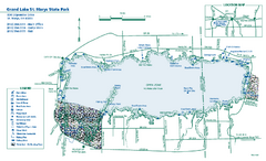
Grand Lake St. Marys State Park map
Detailed recreation map for Grand Lake St. Mary's State Park in Ohio
348 miles away
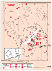
Ramsey Lake State Park, Illinois Site Map
348 miles away
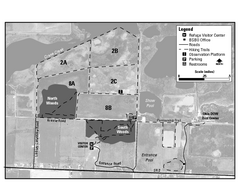
Ottawa National Wildlife refugee Map
349 miles away
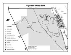
Algonac State Park, Michigan Site Map
349 miles away
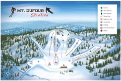
Mount Dufour Ski Trail Map
Trail map from Mount Dufour, which provides downhill skiing. This ski area has its own website.
350 miles away

Glendalough State Park Map
Map of park with detail of trails and recreation zones
351 miles away

Indiana Road Map
351 miles away
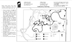
Southeastway Park Map
352 miles away
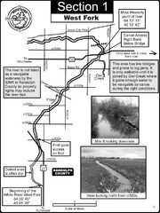
Winchester, IN Beginning of the White River-West...
This is a page from the White River Guidebook. The map shows important information for boaters and...
353 miles away
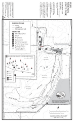
Blue Mounds State Park Map
Map of park with detail of trails and recreation zones
353 miles away
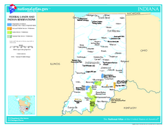
Indiana - Federal Lands and Indian Reservations...
The National Atlas of the United States of America, U.S. Geological Survey, 2003
353 miles away
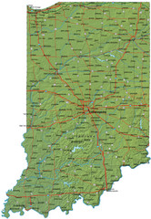
Detailed Indiana Road Map
355 miles away
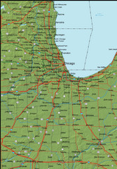
Detailed Indiana Area Road Map
355 miles away

Coffeen Lake, Illinois Site Map
355 miles away

Gull Bay First Nation route map
A simple route map that tells you how to get to Gull Bay First Nation in Northren Ontario. For...
356 miles away
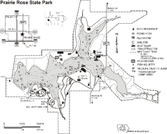
Prairie Rose State Park Map
Map of trails, lake depths, fishing spots and park facilities in Prairie Rose State Park.
357 miles away
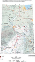
Earthquakes in the Central US Map
Map of central U.S. earthquakes from 1699 to 2002
358 miles away
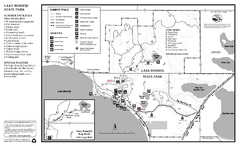
Lake Bemidji State Park Summer Map
Summer seasonal map of park with detail of trails and recreation zones
358 miles away

Lake Bemidji State Park Winter Map
Winter seasonal map of park with detail of trails and recreation zones
358 miles away

