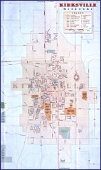
Kirksville City Map
City map of Kirksville, Missouri. Scanned.
328 miles away

Map Rules
329 miles away
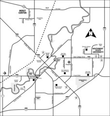
City of Marshall Visitor's Map
City of Marshall Visitor's Map describes the location of basic needs as well as recreational...
330 miles away
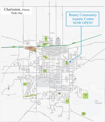
Charleston Town Map
330 miles away

Providence Metropark Map
330 miles away

Swan Creek Metropark Map
331 miles away

Wayne State University Map
331 miles away
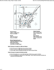
Macomb Community College Campus Map
Macomb Community College Campus Map. All buildings shown.
331 miles away

Shelbyville Fish and Wildlife Area, Illinois Map
331 miles away
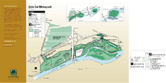
Side Cut Metropark Map
332 miles away
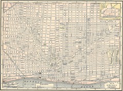
Map of the Main Portion of Detroit - 1895
Map of downtown Detroit, 1895. From Rand McNally's Atlas of the World, 1901, page 42
332 miles away

Farnsworth/Bend View Metropark Map
332 miles away
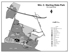
Sterling State Park, Michigan Site Map
332 miles away
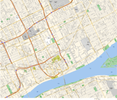
Detroit, MI Tourist Map
333 miles away
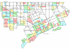
Detroit Neighborhoods Map
333 miles away

Detroit, Michigan City Map
333 miles away
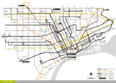
DDOT 2006 System Map
Detroit Department of Transportation Transit System.
333 miles away

Detroit Belle Isle Grand Prix Map
333 miles away
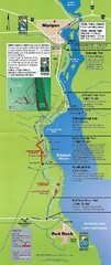
Nipigon River Recreational Trail Map
Map of the river trail between Red Rock and Nipigon.
333 miles away

Toledo Zoo Map
333 miles away
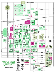
Wayne State University Map
Wayne State University Campus Map. All buildings shown.
333 miles away
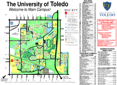
The University of Toledo Map
The University of Toledo Campus Map. All buildings shown.
334 miles away
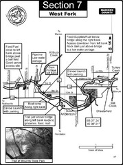
Anderson, IN & Mounds State Park Wabash River...
This is a page from the White River Guidebook. The map shows important information for boaters and...
335 miles away

Belle Isle Park Map
Map of Belle Isle Park
335 miles away
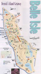
Belle Isle Tourist Map
Tourist map of Belle Isle, Detroit's island get-away
335 miles away
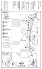
Camden State Park Summer Map
Map of park with detail of trails and recreation zones
336 miles away
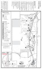
Camden State Park Winter Map
Map of park with detail of trails and recreation zones
336 miles away
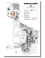
Ball State University Map
Ball State University Campus Map. All buildings shown.
337 miles away
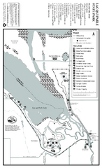
Lac Qui Parle State Park Map
Map of park with detail of trails and recreation zones
337 miles away

Andes Tower Hills Ski Trail Map
Trail map from Andes Tower Hills.
337 miles away
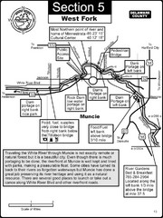
Muncie, IN White River West Fork Map
This is a page from the White River Guidebook. The map shows important information for boaters and...
338 miles away
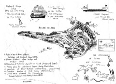
Peche Island Map
Hand-drawn map of Peche Island, Michigan
338 miles away
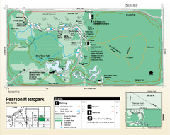
Pearson Metropark Map
338 miles away
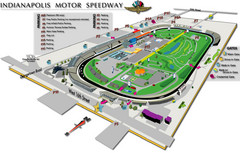
Indianapolis Motor Speedway Map
339 miles away
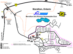
Marathon Trail Map
Map of Marathon with detail on snowmobile trails
339 miles away
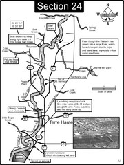
Terre Haute, IN Wabash River Map
This is a page from the Wabash River Guidebook. The map shows important information for boaters and...
339 miles away
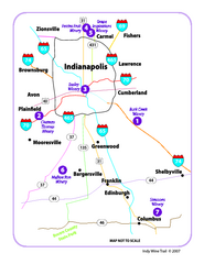
Indy Wine Trail Map
Map of the Indy Wine Trail of the Indianapolis area in Indiana. Shows wineries in the area.
339 miles away


