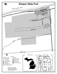
Sleeper State Park, Michigan Site Map
295 miles away
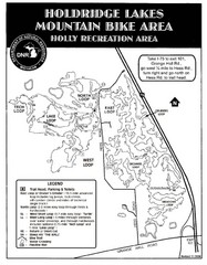
Holdridge Lakes Mountain Bike Map
Part of the Holly Recreation Area, the trail system consists of three loops: 1) A .75 mile loop...
295 miles away
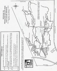
Fox Island Trail Map
Fox Island County Park trail map
296 miles away
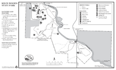
Kilen Woods State Park Winter Map
Winter seasonal map of park with detail of trails and recreation zones
297 miles away
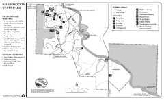
Kilen Woods State Park Summer Map
Summer seasonal map of park with detail of trails and recreation zones
297 miles away
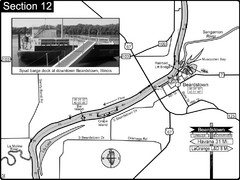
Beardstown, IL Illinois River Map
For boating navigation and river road travel.
297 miles away
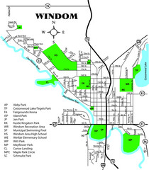
Windom City Parks Map
298 miles away
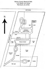
Warren County Memorial Park Map
298 miles away
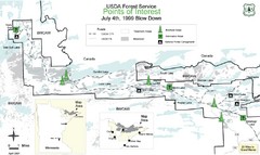
Quetico Provincial Park Map
BWCAW Visitors Map. Shows parameters of BWCAW areas, camp grounds, roads and information kiosks.
298 miles away

Painted DEM of Menard Co. Illinois Map
Mosaic painted DEM of Menard Co. using Arc/Info 8.x; AML; Perl; Erdas Imagine on SUN Hardware (Unix...
299 miles away

Mount Baldy Ski Trail Map
Trail map from Mount Baldy, which provides downhill skiing. This ski area has its own website.
299 miles away
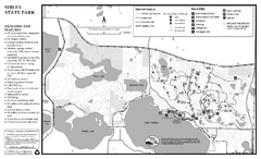
Sibley State Park Winter Map
Winter seasonal map of park with detail of trails and recreation zones
301 miles away
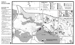
Sibley State Park Summer Map
map of park with detail of trails and recreation zones
301 miles away
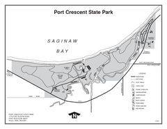
Port Crescent State Park, Michigan Site Map
301 miles away
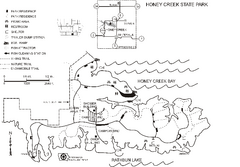
Honey Creek State Park Map
Map of trails, fishing spots and park facilities for Honey Creek State Park.
301 miles away
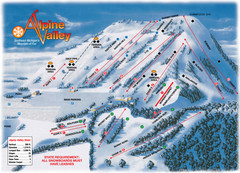
Alpine Valley Ski Trail Map
Trail map from Alpine Valley.
301 miles away
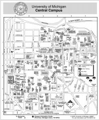
University of Michigan - Ann Arbor Map
University of Michigan - Ann Arbor, campus map. All buildings shown.
302 miles away
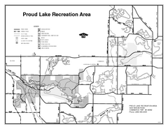
Proud Lake Recreation Area, Michigan Site Map
302 miles away
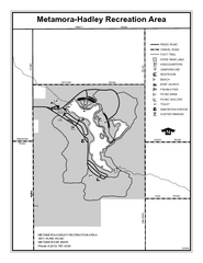
Metamora-Hadley State Park, Michigan Site Map
303 miles away
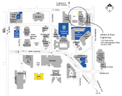
University of Michigan Map
Campus map
303 miles away
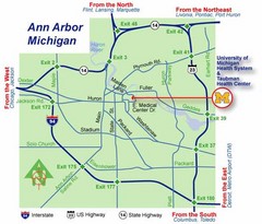
Ann Arbor, Michigan City Map
303 miles away
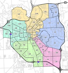
Ann Arbor City Map
City map of Ann Arbor, Michigan, with voting precincts.
303 miles away

Illinois State Fairgrounds Map
303 miles away
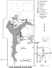
Lake Ahquabi State Park Map
Map of trails, lake depths and park facilities for Lake Ahquabi State Park.
303 miles away

University of Michigan - North Campus Map
303 miles away
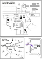
University of Michigan Medical Campus Visitor Map
Map of University of Michigan Medical Campus and Map showing the location of the school within Ann...
303 miles away
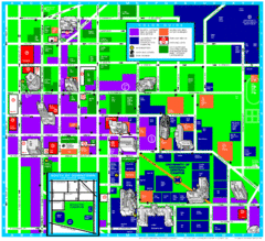
University of Michigan Campus Map
Map of the University of Michigan campus. Includes all buildings, streets and surrounding...
303 miles away
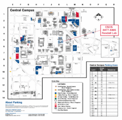
University of Michigan Visitor Map
Map of the University of MI. Shows the location of all parking lots and a color key that describes...
303 miles away
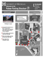
University of Michigan Palmer Parking Map
Map of Visitor Parking Areas with specific directions. Includes location of all surrounding...
303 miles away
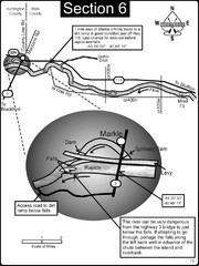
Markle, IN Wabash River rapids Map
This is a page from the Wabash River Guidebook. The map shows important information for boaters and...
304 miles away
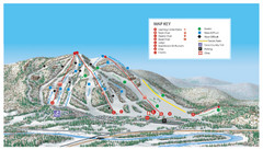
Searchmont Resort Ski Trail Map
Trail map from Searchmont Resort, which provides downhill skiing. This ski area has its own website.
304 miles away
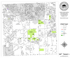
Pittsfield Twp MI street map
304 miles away
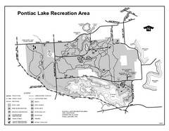
Pontiac Lake Recreation Area, Michigan Site Map
305 miles away
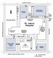
St. John's Hospital Visitor Map
St. John's Hospital Visitor Map includes all main buildings, names of streets and parking...
305 miles away

Looking for Lincoln Walking Tour, Springfield...
Looking for Lincoln walking tour map, Springfield, Illinois. Shows sites associated with President...
305 miles away
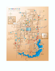
Springfield, Illinois Map
Tourist maps of Springfield, Illinois. Includes two maps: wider view of Springfield, and downtown...
305 miles away
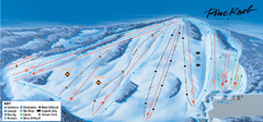
Pine Knob Ski Resort Ski Trail Map
Trail map from Pine Knob Ski Resort.
306 miles away
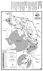
McCarthy Beach State Park Winter Map
Winter seasonal map of park with detail of trails and recreation zones
306 miles away
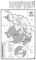
McCarthy Beach State Park Summer Map
Summer seasonal map of park with detail of trails and recreation zones
306 miles away

