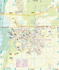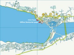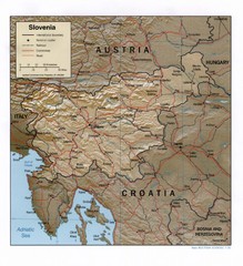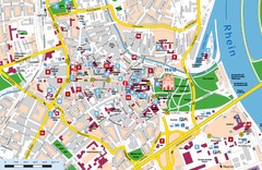
Novi Vinodolski Street Map
Street map of Novi Vinodolski, Croatia. Scanned.
376 miles away
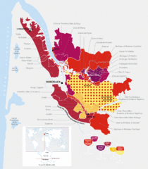
Bordeaux Region Wine Districts Map
Wine map of districts in the Bordeaux region of France. In French.
377 miles away
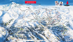
La Plagne Piste Map
La Plagne Ski Resort Map showing runs, lifts, and mountain elevations.
378 miles away
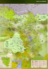
Sobrarbe Town Map
379 miles away
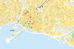
Palma de Mallorca Old Town Map
Detailed street map of old town Palma de Mallorca, Spain. Shows Hostel Brondo.
379 miles away
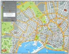
Palma Map
Tourist guide to Palma de Mallorca, Spain
380 miles away
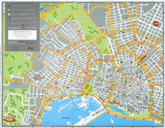
Palma Tourist Map
Tourist map of Palma, Spain. In French, Spanish, and English. Shows streets and points of...
380 miles away
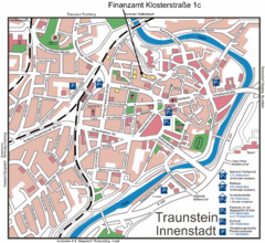
Traunstein Map
Street map of Traunstein
380 miles away
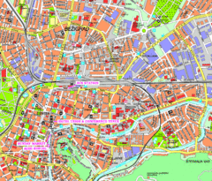
Ljubljana Tourist Map
Tourist map of central Ljubljana, Slovenia.
382 miles away
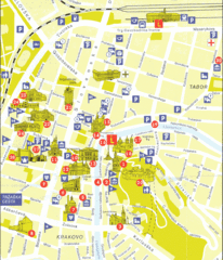
Ljubljana Slovenia Tourist Map
Tourist Map of Ljubljana Slovenia showing sites and roads of the city.
382 miles away
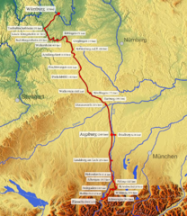
Romantische Strasse Map
382 miles away
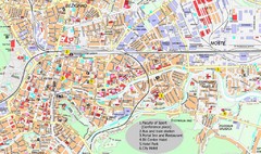
Ljubljana City Map
City map of Ljubljana, Slovenia. Shows some points of interest.
382 miles away
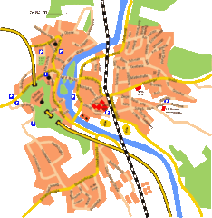
Harburg Map
Street map of Harburg town
383 miles away
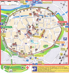
Nördlingen Tourist Map
Tourist street map of Nördlingen
383 miles away
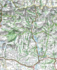
Sobrarbe Province Map
Shows Ordesa y Monte Perdido National Park and Sierra de Guara and Guara Canyons Natural Park
383 miles away

Saint Emilion Map
383 miles away
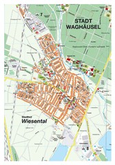
Wiesental Map
Street map of town of Wiesental
383 miles away

Heilbronn Tourist Map
Tourist map of Heilbronn
383 miles away
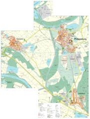
Philippsburg Map
Street map of Philippsburg
383 miles away
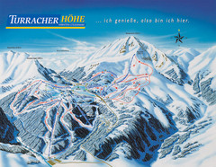
Turracher Höhe Ski Trail Map
Trail map from Turracher Höhe.
383 miles away
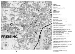
Freising City Map
384 miles away
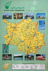
Charente Region Tourist Map
Tourist map of Charente region in southern France. Scanned.
384 miles away
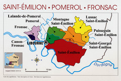
Libournais Region Wine District Map
Shows wine districts of the Libournais region near Libourne, France
385 miles away
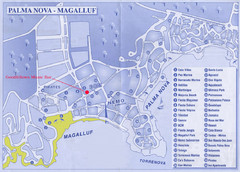
Palma Nova Tourist Map
385 miles away
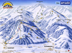
Ski Amade Map
386 miles away
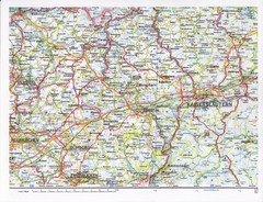
Gerhardsbrunn Map
386 miles away
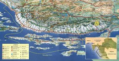
Pag Island Panoramic Map
Shows area around island of Pag, Croatia
387 miles away
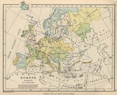
Europe 15th Century Colbeck Map
Europe during the 15th Century
388 miles away
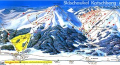
Lungau Ski Trail Map
Trail map from Lungau.
389 miles away
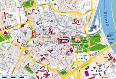
Speyer City Map
City map of central Speyer, Germany
389 miles away
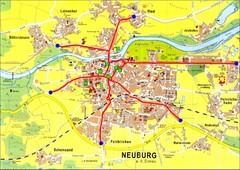
Neuburg an der Donau Map
Street map of Neuburg an der Donau
389 miles away
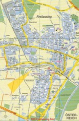
Freilassing Map
Street map of Freilassing
390 miles away
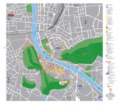
Salzburg Tourist Map
Tourist map of Salzburg, Austria. In German.
391 miles away

Pau - NE quadrant Map
391 miles away
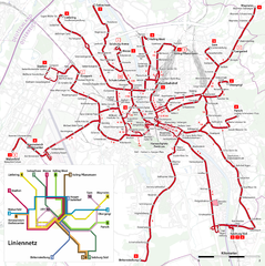
Salzburg Trolleybus Map
391 miles away
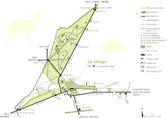
Chateau Chambord Estate Map
Estate map of the famous Chateau Chambord. Largest Chateau in the Loire River Valley.
392 miles away

