Munich public transportation system Map
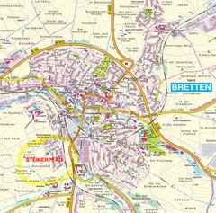
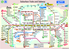
This MVV network map, probably the best known one, shows all lines and stops for the urban rail and...
364 miles away
Munich Metro Map
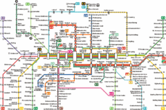
Metro map of Munich, Germany. In German.
364 miles away
Waiblingen Map
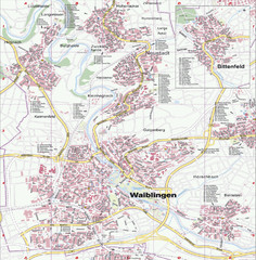
City map of Waiblingen and surrounding region
364 miles away
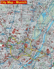
Munich City Map
City map of Munich, Germany
364 miles away
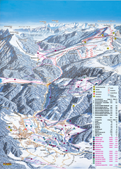
Reit im Winkl Ski Trail Map
Trail map from Reit im Winkl.
365 miles away
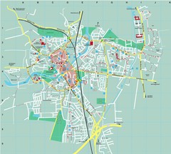
Dachau City Map
City street map of Dachau
367 miles away
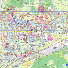
Karlsruhe Tourist Map
Tourist map of Karlsruhe
367 miles away
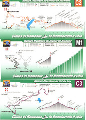
Beaufort Cycling Route Map
Three routes drawn and elevation gains shown for each cycling route in Beaufort, France's...
367 miles away
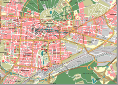
Karlsruhe Map
City street map of Karlsruhe
368 miles away
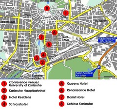
Karlsruhe Hotel Map
368 miles away
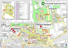
Karlsruhe University Campus Map
Campus map of Universität Karlsruhe, the oldest Technical University in Germany, founded in...
368 miles away
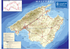
Mallorca Tourist Map
Tourist map of the island of Mallorca, Spain in the Mediterranean. from the Consell de Mallorca...
368 miles away
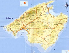
Mallorca Tourist Map
Tourist map of island of Mallorca. Shows roads and some points of interest. Scanned.
368 miles away
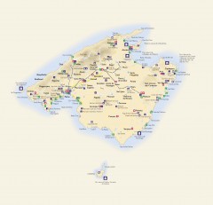
Mallorca Tourist Map
Tourist map of Mallorca shows towns, major roads information centers, medical centers, and other...
368 miles away
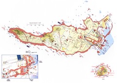
Ventotene Tourist Map
Tourist map of island of Ventotene, Italy. Also shows Santo Stefano island. Shows points of...
369 miles away
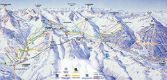
Bareges/La Mongie Ski Trail Map
Trail map from Bareges/La Mongie.
369 miles away
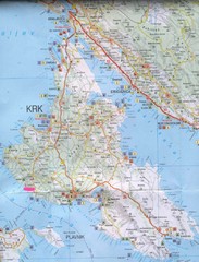
Krk Tourist Map
Tourist map of island of Krk, Croatia. Second biggest island in Croatia
369 miles away
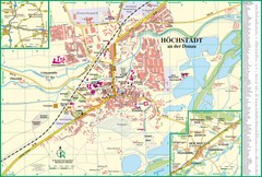
Höchstädt an der Donau Map
Street map of Höchstädt an der Donau
369 miles away
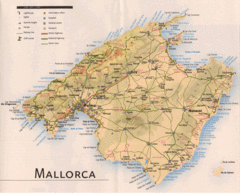
Mallorca Map
369 miles away
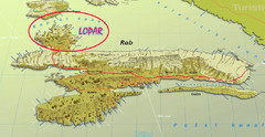
Rab Island Map
Shows beaches on Rab Island, Croatia
370 miles away
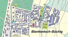
Buechig Map
Street map of town of Buechig
371 miles away
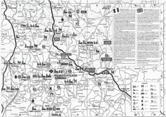
Villebois-Lavalette Tourist Map
Tourist map of Villebois-Lavalette, France and surrounding region. Shows points of interest. In...
372 miles away
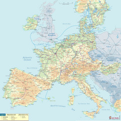
European Railway Map
372 miles away
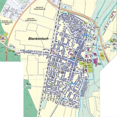
Blankenloch Map
Street map of town of Blankenloch
372 miles away
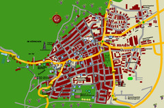
Bad Bergzabern Tourist Map
Tourist street map of Bad Bergzabern
372 miles away
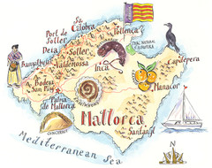
Mallorca Illustrated Map
Tourist Map of Mallorca from Wall Street Journal Europe
372 miles away
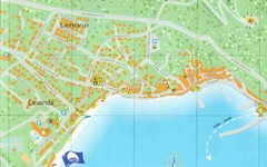
Baska Krk Tourist Map
Tourist map of Baska Krk, Croatia. Scanned.
372 miles away
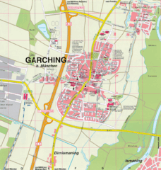
Garching bei München Map
Street map of Garching bei München
372 miles away
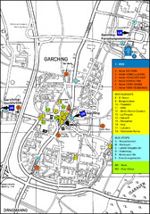
Garching Tourist Map
Tourist map of Garching bei Munchen, Germany. Shows hotels, restaurants and the most important bus...
372 miles away
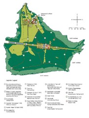
Chiemsee Island Germany Tourist Map
Tourist map of the island showing all the tourist sites.
373 miles away
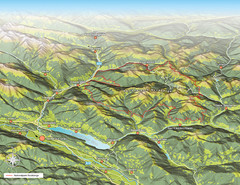
Nockberge National Park Map
Outline map of Nockberge National Park, Austria in the summer. Shows surrounding towns.
373 miles away
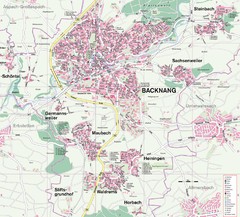
Backnang Region Map
Street map of Backnang and surrounding area
373 miles away
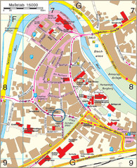
Backnang City Map
Street map of Backnang city center
373 miles away
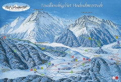
Berchtesgadener Land Ski Trail Map
Trail map from Berchtesgadener Land.
374 miles away
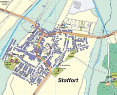
Staffort Map
Street map of town of Staffort
374 miles away
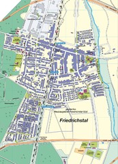
Friedrichstal Map
Street map of town of Friedrichstal
375 miles away
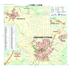
Großbottwar Map
Street map of Großbottwar and surrounding area
375 miles away
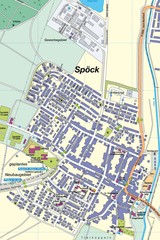
Spoeck Map
Street map of town of Spoeck
375 miles away
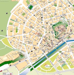
Lleida Tourist Map
Tourist map of Lleida, Spain
375 miles away

