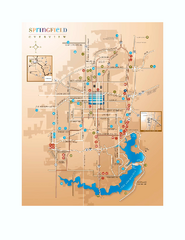
Springfield, Illinois Map
Tourist maps of Springfield, Illinois. Includes two maps: wider view of Springfield, and downtown...
232 miles away
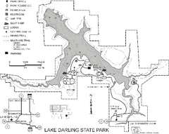
Lake Darling State Park Map
Map of hiking, biking and skiing trails, lake depths and park facilities for Lake Darling State...
233 miles away
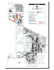
Ball State University Map
Ball State University Campus Map. All buildings shown.
233 miles away
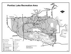
Pontiac Lake Recreation Area, Michigan Site Map
233 miles away
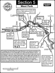
Muncie, IN White River West Fork Map
This is a page from the White River Guidebook. The map shows important information for boaters and...
233 miles away

Oak Openings Metropark Map
233 miles away

Secor Metropark Map
233 miles away
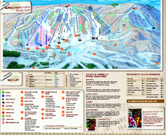
Boyne Highlands Ski Trail Map
Official ski trail map of Boyne Highlands ski area from the 2006-2007 season.
233 miles away
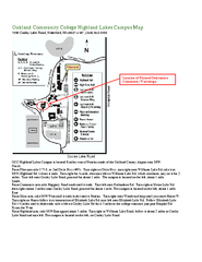
Oakland Community College Highland Lakes Campus...
Oakland Community College Highland Lakes Campus Map. Highland Lakes Campus is located in Waterford...
234 miles away
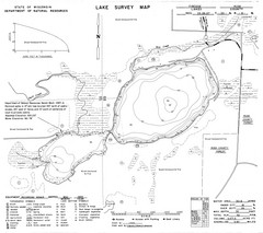
Fireside Lake Survey Map
Survey of Lake and surrounding areas done by State of Wisconsin Department of Natural Resources
234 miles away
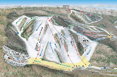
Nubs Nob Ski Area Inset Ski Trail Map
Trail map from Nubs Nob Ski Area.
234 miles away
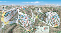
Nubs Nob Ski Area Main Ski Trail Map
Trail map from Nubs Nob Ski Area.
234 miles away
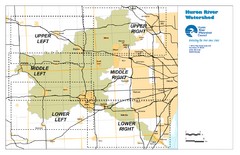
Huron River Watershed Map
Creek and watershed map of Huron River
235 miles away
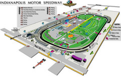
Indianapolis Motor Speedway Map
235 miles away
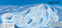
Pine Knob Ski Resort Ski Trail Map
Trail map from Pine Knob Ski Resort.
235 miles away
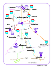
Indy Wine Trail Map
Map of the Indy Wine Trail of the Indianapolis area in Indiana. Shows wineries in the area.
235 miles away
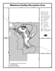
Metamora-Hadley State Park, Michigan Site Map
236 miles away
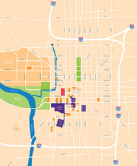
Indianapolis Center Map
Map of Indianapolis downtown center
237 miles away
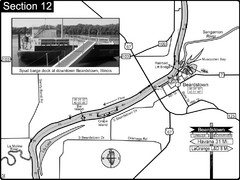
Beardstown, IL Illinois River Map
For boating navigation and river road travel.
237 miles away

Providence Metropark Map
237 miles away

Camp Miakonda Map
237 miles away
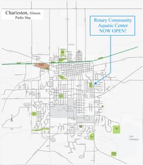
Charleston Town Map
238 miles away
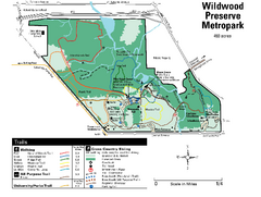
Wildwood Preserve Metropark Map
238 miles away
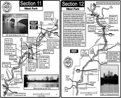
Indianapolis, IN White River West Fork Map
This is a page from the White River Guidebook. The map shows important information for boaters and...
238 miles away
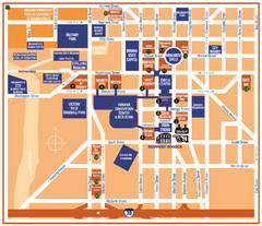
Downtown Indianapolis Map
238 miles away
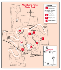
Weinberg-King State Park, Illinois Site Map
238 miles away
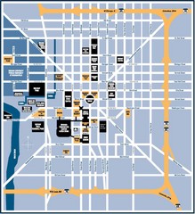
Indianapolis Tourist Map
238 miles away
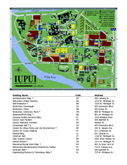
Indiana University Purdue University Indianapolis...
Campus Map of Indiana University Purdue University Indianapolis. All areas shown.
239 miles away
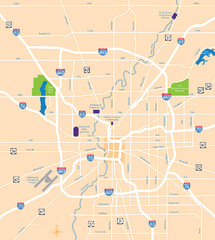
Indianapolis Map
Map of Indianapolis are
239 miles away
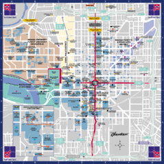
Downtown Indianapolis Map
This large map of downtown Indianapolis.
239 miles away
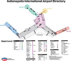
Indianapolis International Airport Terminal Map
Official map of Indianapolis International Airport. Shows all Upper Level Terminals.
239 miles away
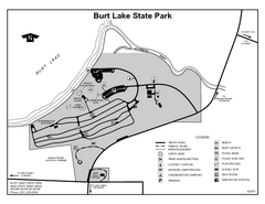
Burt Lake State Park, Michigan Site Map
240 miles away

Farnsworth/Bend View Metropark Map
241 miles away
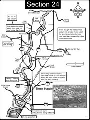
Terre Haute, IN Wabash River Map
This is a page from the Wabash River Guidebook. The map shows important information for boaters and...
241 miles away
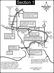
Fort Recovery, OH & beginning of the Wabash...
This is a page from the Wabash River Guidebook. The map shows important information for boaters and...
241 miles away
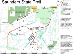
Saunders State Trail Map
Points of interest, lakes, roads, forests and more are marked on this map's key.
241 miles away

Swan Creek Metropark Map
241 miles away
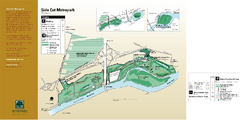
Side Cut Metropark Map
241 miles away

