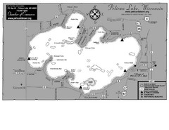
Pelican Lake Map
Lake map of Pelican Lake, Wisconsin. 3585 acres.
180 miles away
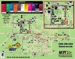
Western Illinois University Tranist Map
Map of Western Illinois University transit map throughout campus and Macomb
180 miles away
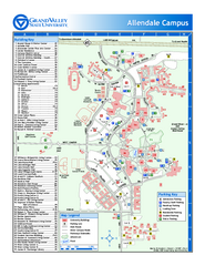
Grand Valley State University Map
Grand Valley State University Campus Map. All areas shown.
181 miles away

Fun Valley Ski Trail Map
Trail map from Fun Valley.
182 miles away

Pine Lake State Park Map
Map of trails and park facilities in Pine Lake State Park.
186 miles away
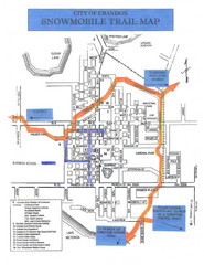
Crandon Snowmobile Trail Map
Snowmobile trail map of Crandon, Wisconsin on Lake Menlonga.
186 miles away
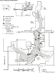
Rock Creek State Park Map
Map of trails, hunting and fishing areas in Rock Creek State Park.
187 miles away
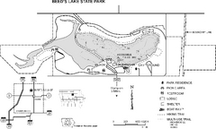
Beeds Lake State Park Map
Map showing lake depths, trails and facilities of Beeds Lake State Park.
189 miles away
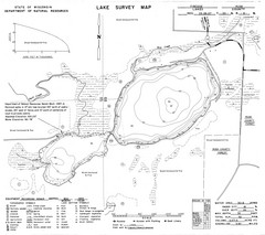
Fireside Lake Survey Map
Survey of Lake and surrounding areas done by State of Wisconsin Department of Natural Resources
189 miles away
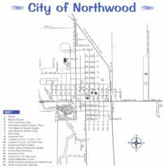
Northwood City Map
City map of Northwood, Iowa with key of churches, parks, and other points of interest.
190 miles away
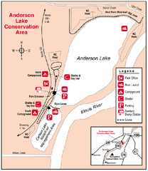
Anderson Lake, Illinois Site Map
191 miles away
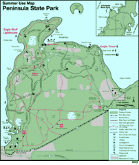
Peninsula State Park Map
Beautiful trails.
191 miles away
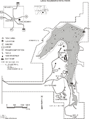
Lake Keomah State Park Map
Map of trails, fishing spots, lake depths and park facilities for Lake Keomah State Park.
191 miles away

Shimek State Forest Horse Trail Map
Map of Horse Trail Sytem within Shimek State Forest.
194 miles away

Edward R. Madigan State Park, Illinois Site Map
194 miles away
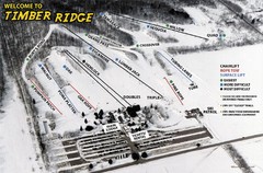
Timber Ridge Ski Area Ski Trail Map
Trail map from Timber Ridge Ski Area.
194 miles away

Shimek State Forest Hiking Trail Map
Map of hiking trails in Shimek State Forest.
194 miles away
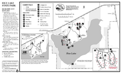
Rice Lake State Park Map
map of park with detail of trails and recreation zones
195 miles away
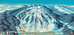
Bittersweet Ski Area Ski Trail Map
Trail map from Bittersweet Ski Area.
195 miles away
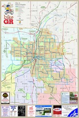
Grand Rapids Bike Map
Map shows bicycle routes in Grand Rapids, Michigan
195 miles away

Grand Rapids, Michigan City Map
196 miles away
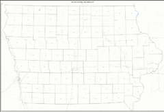
Iowa Zip Code Map
Check out this Zip code map and every other state and county zip code map zipcodeguy.com.
196 miles away
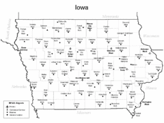
Iowa Airports Map
196 miles away

Welch Village Ski Area Ski Trail Map
Trail map from Welch Village Ski Area, which provides downhill, night, and terrain park skiing. It...
196 miles away
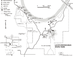
Lacey-Keosauqua State Park Map
Map of trails, indian mounds, lake depths and park facilities for Lacey-Keosauqua State Park.
196 miles away
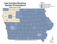
Iowa County Map
Iowa counties that receive disaster funding
196 miles away
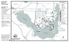
Myre-Big Island State Park Winter Map
Winter seasonal map of park with detail of trails and recreation zones
196 miles away
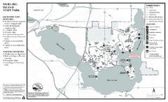
Myre-Big Island State Park Summer Map
Summer seasonal map of park with detail of trails and recreation zones
196 miles away
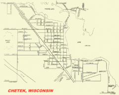
Chetek City Map
City map of Chetek, Wisconsin
197 miles away
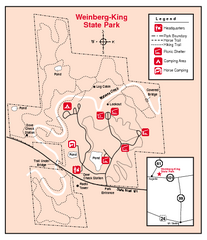
Weinberg-King State Park, Illinois Site Map
199 miles away
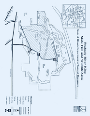
Peabody River King State Fish and Wildlife Area...
199 miles away
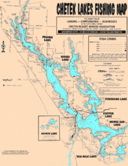
Chetek Lakes Fishing Map
Fishing map of the Chetek Lakes region
200 miles away
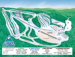
Christie Mountain Ski Area Ski Trail Map
Trail map from Christie Mountain Ski Area.
201 miles away

Owatonna Map
Visitor Map of Owatonna, Minnesota. Includes all streets, highways, restaurants, hotels, parks and...
202 miles away
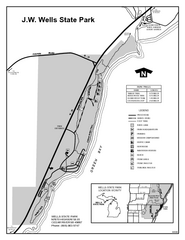
Wells State Park, Michigan Site Map
202 miles away
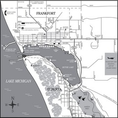
Frankfort-Elberta City Map
City map of Frankfort and Elberta, Michigan on shore of Lake Michigan.
203 miles away
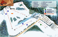
Swiss Valley Ski Lodge Ski Trail Map
Trail map from Swiss Valley Ski Lodge.
203 miles away

Newport State Park Map
Bicycling, hiking, park office, parking all marked on this detailed map.
204 miles away
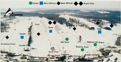
Cannonsburg Ski Area Ski Trail Map
Trail map from Cannonsburg Ski Area.
204 miles away

